Cobham à vélo
Découvre une carte de 221 itinéraires et pistes cyclables près de Cobham, créés par notre communauté.
Portrait de région
Fais connaissance avec Cobham
Trouve l’itinéraire à vélo qui te convient à Cobham, où nous avons 221 pistes cyclables à explorer. La plupart des gens enfourchent leur vélo pour rouler ici aux mois de mai et juillet.
7 399 km
Distance enregistrée
221
Itinéraires cyclables
16 724
Population
Communauté
Utilisateurs les plus actifs à Cobham
De notre communauté
Les meilleurs itinéraires à vélo dans et autour de Cobham
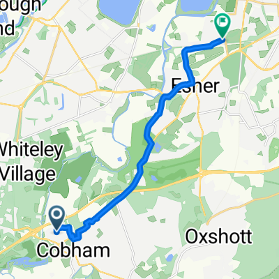
From Cobham to Weybridge
Itinéraire à vélo à Cobham, Angleterre, Royaume-Uni
- 19,8 km
- Distance
- 107 m
- Montée
- 86 m
- Descente
7 Fairmile Avenue, Cobham to 7 Fairmile Avenue, Cobham
Itinéraire à vélo à Cobham, Angleterre, Royaume-Uni
- 8,9 km
- Distance
- 43 m
- Montée
- 41 m
- Descente
Wayfarers ride to Bletchingley
Itinéraire à vélo à Cobham, Angleterre, Royaume-Uni
- 65,8 km
- Distance
- 665 m
- Montée
- 568 m
- Descente
Découvrez plus d'itinéraires
 Cobham to Newhaven Leg 1 for LeTour
- Distance
- 89,1 km
- Montée
- 426 m
- Descente
- 462 m
- Emplacement
- Cobham, Angleterre, Royaume-Uni
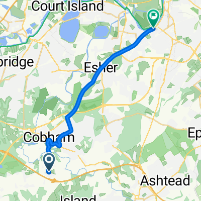
 to Esher 最短ルート
- Distance
- 9,2 km
- Montée
- 63 m
- Descente
- 68 m
- Emplacement
- Cobham, Angleterre, Royaume-Uni
 May Mash Up Sportive (Surrey Hills) 2016
- Distance
- 164,3 km
- Montée
- 1 250 m
- Descente
- 1 138 m
- Emplacement
- Cobham, Angleterre, Royaume-Uni
 From Leatherhead to Esher
- Distance
- 7,5 km
- Montée
- 31 m
- Descente
- 61 m
- Emplacement
- Cobham, Angleterre, Royaume-Uni
 Weybridge no 50
- Distance
- 24,2 km
- Montée
- 105 m
- Descente
- 107 m
- Emplacement
- Cobham, Angleterre, Royaume-Uni
 W Horsley no 51
- Distance
- 26,8 km
- Montée
- 180 m
- Descente
- 180 m
- Emplacement
- Cobham, Angleterre, Royaume-Uni
 Bennett House, 220 Portsmouth Road, Cobham to 11 Woodham Waye, Woking
- Distance
- 20,7 km
- Montée
- 90 m
- Descente
- 80 m
- Emplacement
- Cobham, Angleterre, Royaume-Uni

Edge1000®
Cobham Cycling- Distance
- 13,4 km
- Montée
- 75 m
- Descente
- 94 m
- Emplacement
- Cobham, Angleterre, Royaume-Uni
Itinéraires vers Cobham
Excursion à vélo d’une journée de
Borough londonien de Wandsworth à Cobham


