Canton de Zurich à vélo
Découvre une carte de 40 179 itinéraires et pistes cyclables à Canton de Zurich, créés par notre communauté.
Portrait de région
Fais connaissance avec Canton de Zurich
Trouve l’itinéraire à vélo qui te convient à Canton de Zurich, où nous avons 40 179 pistes cyclables à explorer. La plupart des gens enfourchent leur vélo pour rouler ici aux mois de mai et juin.
2 216 489 km
Distance enregistrée
40 179
Itinéraires cyclables
Communauté
Utilisateurs les plus actifs à Canton de Zurich
Itinéraires soigneusement sélectionnés
Découvre Canton de Zurich à travers ces collections
Zurich to Stein am Rhein
3 itinéraires
De notre communauté
Les meilleurs itinéraires à vélo à Canton de Zurich
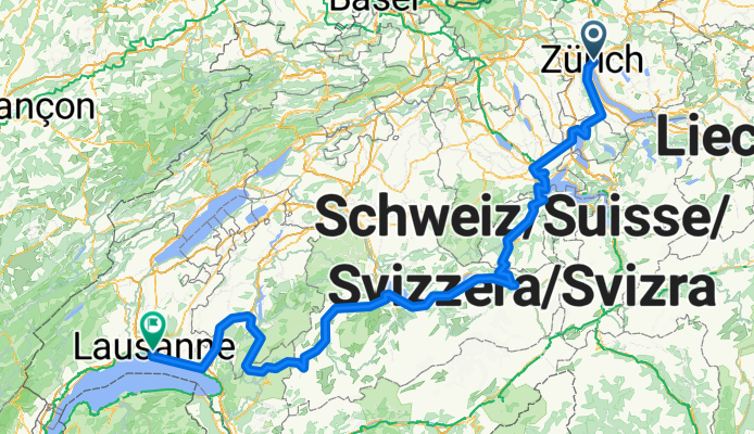
Lakes Route - Zurich to Lausanne
Itinéraire à vélo à Zürich (Kreis 6) / Oberstrass, Canton de Zurich, Suisse
- 341,3 km
- Distance
- 5 957 m
- Montée
- 5 992 m
- Descente
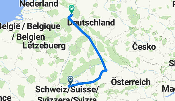
Frachtstrasse to Salzkottener Straße
Itinéraire à vélo à Kloten / Holberg, Canton de Zurich, Suisse
- 797,7 km
- Distance
- 11 746 m
- Montée
- 12 103 m
- Descente
Flughafenstrasse to Flughafenstraße
Itinéraire à vélo à Kloten / Holberg, Canton de Zurich, Suisse
- 569 km
- Distance
- 9 237 m
- Montée
- 10 364 m
- Descente
bviuztegj
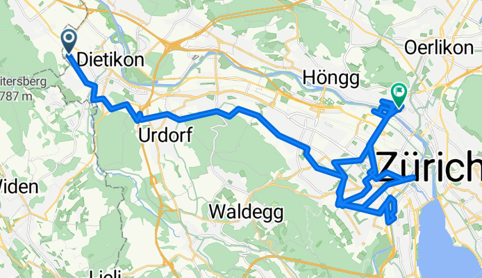
Itinéraire à vélo à Dietikon / Almend, Canton de Zurich, Suisse
- 50,9 km
- Distance
- 886 m
- Montée
- 907 m
- Descente
Découvrez plus d'itinéraires
 Spreitenbacherstrasse nach Schweigmatt
- Distance
- 63,3 km
- Montée
- 1 147 m
- Descente
- 1 136 m
- Emplacement
- Dietikon / Almend, Canton de Zurich, Suisse
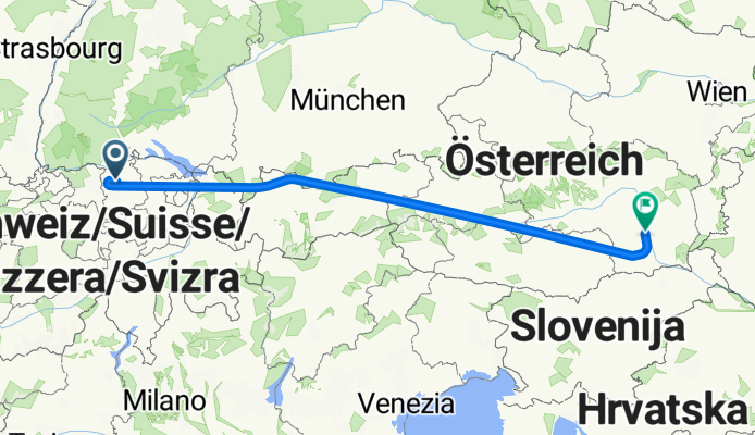
 Hofwiesenstrasse to Partizanska cesta
- Distance
- 849,6 km
- Montée
- 1 860 m
- Descente
- 2 074 m
- Emplacement
- Zürich (Kreis 11) / Oerlikon, Canton de Zurich, Suisse
 Thujastrasse, Zürich to Thujastrasse, Zürich
- Distance
- 15,7 km
- Montée
- 271 m
- Descente
- 270 m
- Emplacement
- Zürich (Kreis 2) / Wollishofen, Canton de Zurich, Suisse
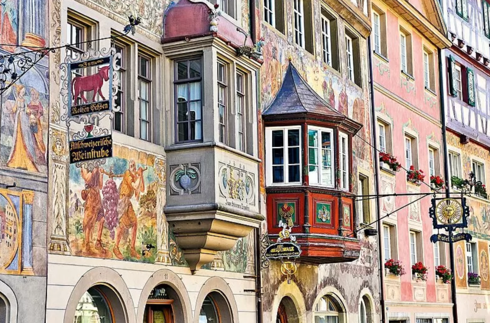 Zurich to Stein am Rhein
- Distance
- 58,9 km
- Montée
- 732 m
- Descente
- 740 m
- Emplacement
- Zürich (Kreis 1) / Lindenhof, Canton de Zurich, Suisse
 Ghöch - Schaufelbergeregg
- Distance
- 21,3 km
- Montée
- 557 m
- Descente
- 557 m
- Emplacement
- Hinwil, Canton de Zurich, Suisse
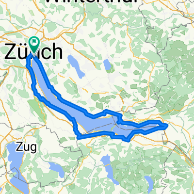 Rathausbrücke, Zurigo a Rathausbrücke, Zurigo
- Distance
- 109,1 km
- Montée
- 1 413 m
- Descente
- 1 415 m
- Emplacement
- Zürich (Kreis 1), Canton de Zurich, Suisse
 Day 1 - Zurich to Walenstadt
- Distance
- 85,9 km
- Montée
- 194 m
- Descente
- 226 m
- Emplacement
- Zürich (Kreis 6) / Oberstrass, Canton de Zurich, Suisse
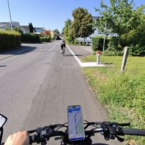 Schwandenstrasse, Kilchberg ZH to Im Wiesental, Kilchberg ZH
- Distance
- 75,3 km
- Montée
- 548 m
- Descente
- 580 m
- Emplacement
- Kilchberg / Kilchberg (Dorfkern), Canton de Zurich, Suisse
Régions cyclables dans Canton de Zurich
Dübendorf / Wasserfurren
103 itinéraires à vélo
Bubikon
79 itinéraires à vélo
Wangen
97 itinéraires à vélo
Volketswil / Volketswil (Dorf)
100 itinéraires à vélo
Rorbas
139 itinéraires à vélo
Découvre où les gens font du vélo en Suisse
Régions cyclables populaires en Suisse


