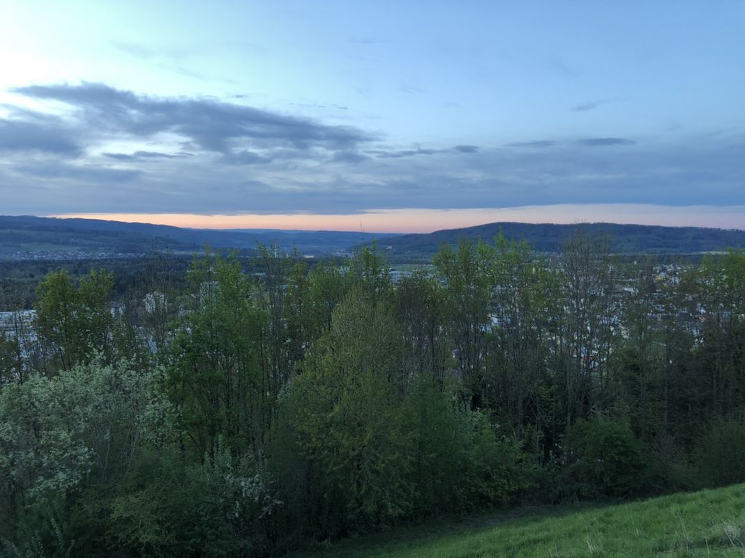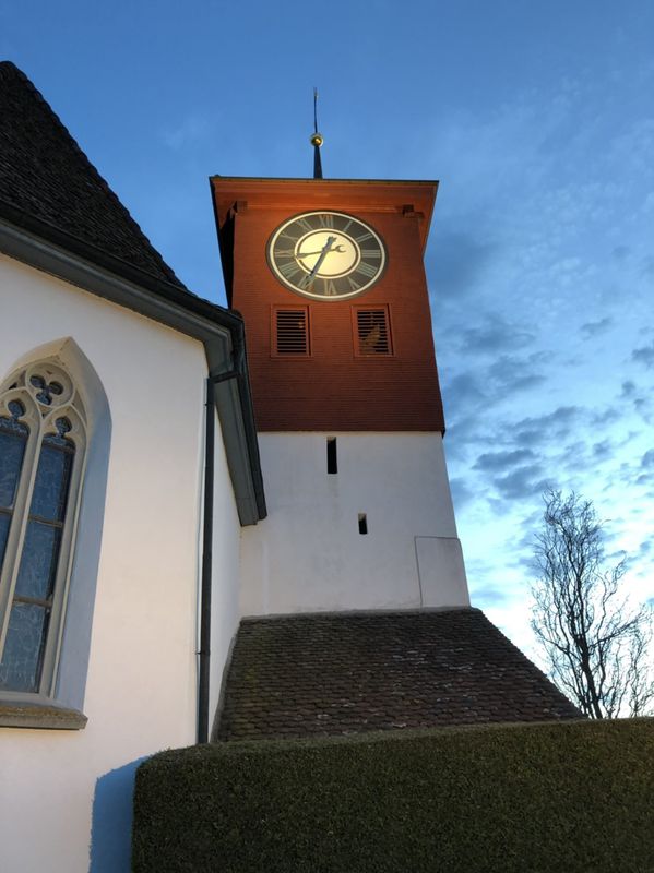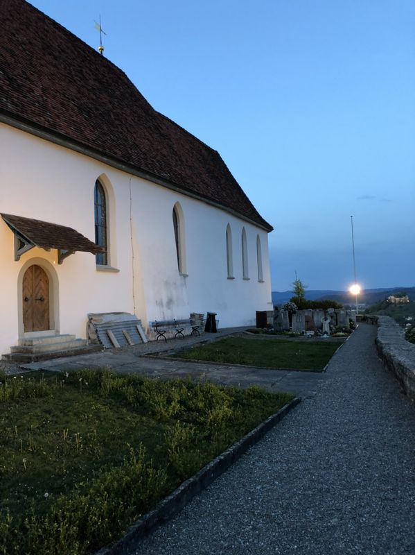
Staufen à vélo
Découvre une carte de 177 itinéraires et pistes cyclables près de Staufen, créés par notre communauté.
Portrait de région
Fais connaissance avec Staufen
Trouve l’itinéraire à vélo qui te convient à Staufen, où nous avons 177 pistes cyclables à explorer. La plupart des gens enfourchent leur vélo pour rouler ici aux mois de juillet et août.
8 111 km
Distance enregistrée
177
Itinéraires cyclables
2 424
Population
Communauté
Utilisateurs les plus actifs à Staufen
De notre communauté
Les meilleurs itinéraires à vélo dans et autour de Staufen
Langsame Fahrt in Lenzburg
Itinéraire à vélo à Staufen, Canton d’Argovie, Suisse
- 4,4 km
- Distance
- 149 m
- Montée
- 152 m
- Descente
20160929_101158.gpx
Itinéraire à vélo à Staufen, Canton d’Argovie, Suisse
- 37,8 km
- Distance
- 484 m
- Montée
- 485 m
- Descente
Villmergen Meisterschwanden- Seon
Itinéraire à vélo à Staufen, Canton d’Argovie, Suisse
- 35,3 km
- Distance
- 387 m
- Montée
- 386 m
- Descente
Découvrez plus d'itinéraires
 Staufen-Wohlen-Rupperswil-Staufen
- Distance
- 35,5 km
- Montée
- 275 m
- Descente
- 274 m
- Emplacement
- Staufen, Canton d’Argovie, Suisse
 Lenzburg_Othmarsingen_Chestenberg_Wildegg_Lenzburg
- Distance
- 26,6 km
- Montée
- 288 m
- Descente
- 291 m
- Emplacement
- Staufen, Canton d’Argovie, Suisse
 Hallwilersee Rundfahrt
- Distance
- 43 km
- Montée
- 436 m
- Descente
- 435 m
- Emplacement
- Staufen, Canton d’Argovie, Suisse
 Villmergen-Seengen
- Distance
- 32,2 km
- Montée
- 377 m
- Descente
- 378 m
- Emplacement
- Staufen, Canton d’Argovie, Suisse
 20141209_105328.gpx
- Distance
- 33,5 km
- Montée
- 527 m
- Descente
- 527 m
- Emplacement
- Staufen, Canton d’Argovie, Suisse
 Anglikon - Rl
- Distance
- 33,2 km
- Montée
- 278 m
- Descente
- 280 m
- Emplacement
- Staufen, Canton d’Argovie, Suisse
 Esterlirunde
- Distance
- 7,3 km
- Montée
- 172 m
- Descente
- 150 m
- Emplacement
- Staufen, Canton d’Argovie, Suisse
 20151110_105311.gpx
- Distance
- 50,7 km
- Montée
- 678 m
- Descente
- 679 m
- Emplacement
- Staufen, Canton d’Argovie, Suisse


