Canton de Soleure à vélo
Découvre une carte de 6 023 itinéraires et pistes cyclables à Canton de Soleure, créés par notre communauté.
Portrait de région
Fais connaissance avec Canton de Soleure
Trouve l’itinéraire à vélo qui te convient à Canton de Soleure, où nous avons 6 023 pistes cyclables à explorer. La plupart des gens enfourchent leur vélo pour rouler ici aux mois de mai et juillet.
297 932 km
Distance enregistrée
6 023
Itinéraires cyclables
Communauté
Utilisateurs les plus actifs à Canton de Soleure
Itinéraires soigneusement sélectionnés
Découvre Canton de Soleure à travers ces collections
De notre communauté
Les meilleurs itinéraires à vélo à Canton de Soleure
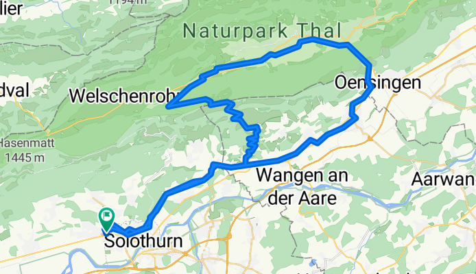
Hauptstrasse, Rüttenen nach Schänzlistrasse, Solothurn
Itinéraire à vélo à Riedholz, Canton de Soleure, Suisse
- 27,6 km
- Distance
- 1 033 m
- Montée
- 1 174 m
- Descente
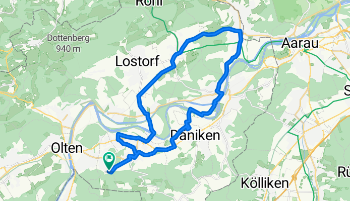
Säliring, Starrkirch-Wil nach Säliring, Starrkirch-Wil
Itinéraire à vélo à Olten, Canton de Soleure, Suisse
- 25,6 km
- Distance
- 234 m
- Montée
- 233 m
- Descente
Römerstrasse, Bellach nach Römerstrasse, Bellach
Itinéraire à vélo à Langendorf, Canton de Soleure, Suisse
- 59 km
- Distance
- 953 m
- Montée
- 951 m
- Descente
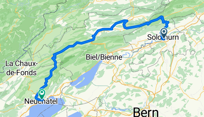
Solothurn - Neuchatel
Itinéraire à vélo à Soleure, Canton de Soleure, Suisse
- 102 km
- Distance
- 2 646 m
- Montée
- 2 602 m
- Descente
Découvrez plus d'itinéraires
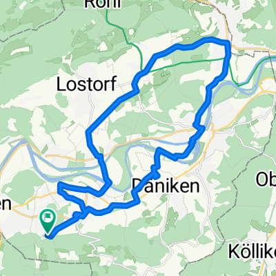
 Aegertenweg, Oensingen nach Aegertenweg, Oensingen
- Distance
- 17,5 km
- Montée
- 581 m
- Descente
- 579 m
- Emplacement
- Oensingen, Canton de Soleure, Suisse
 Erlinsbach - Aarberg
- Distance
- 88 km
- Montée
- 358 m
- Descente
- 279 m
- Emplacement
- Erlinsbach, Canton de Soleure, Suisse
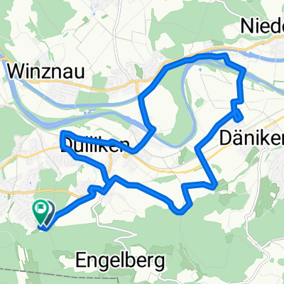
 Säliring, Starrkirch-Wil nach Säliring, Starrkirch-Wil
- Distance
- 25,6 km
- Montée
- 241 m
- Descente
- 243 m
- Emplacement
- Olten, Canton de Soleure, Suisse
 Von Niedergösgen bis Schönenwerd
- Distance
- 87,1 km
- Montée
- 1 646 m
- Descente
- 1 637 m
- Emplacement
- Niedergösgen, Canton de Soleure, Suisse
 Säliring, Starrkirch-Wil nach Säliring, Starrkirch-Wil
- Distance
- 16 km
- Montée
- 142 m
- Descente
- 144 m
- Emplacement
- Olten, Canton de Soleure, Suisse
 Kohliweidstrasse, Starrkirch-Wil nach Säliring, Starrkirch-Wil
- Distance
- 15,8 km
- Montée
- 145 m
- Descente
- 146 m
- Emplacement
- Olten, Canton de Soleure, Suisse
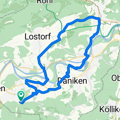 Säliring, Starrkirch-Wil nach Säliring, Starrkirch-Wil
- Distance
- 25,7 km
- Montée
- 250 m
- Descente
- 251 m
- Emplacement
- Olten, Canton de Soleure, Suisse
 alte balmbergstr
- Distance
- 19,9 km
- Montée
- 789 m
- Descente
- 494 m
- Emplacement
- Riedholz, Canton de Soleure, Suisse
Régions cyclables dans Canton de Soleure
Olten
551 itinéraires à vélo
Zuchwil
94 itinéraires à vélo
Gerlafingen
223 itinéraires à vélo
Hägendorf
100 itinéraires à vélo
Himmelried
16 itinéraires à vélo
Découvre où les gens font du vélo en Suisse
Régions cyclables populaires en Suisse


