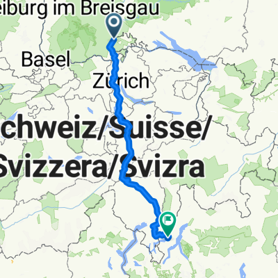
Schleitheim à vélo
Découvre une carte de 73 itinéraires et pistes cyclables près de Schleitheim, créés par notre communauté.
Portrait de région
Fais connaissance avec Schleitheim
Trouve l’itinéraire à vélo qui te convient à Schleitheim, où nous avons 73 pistes cyclables à explorer. La plupart des gens enfourchent leur vélo pour rouler ici aux mois de juillet et août.
3 541 km
Distance enregistrée
73
Itinéraires cyclables
1 723
Population
Communauté
Utilisateurs les plus actifs à Schleitheim
De notre communauté
Les meilleurs itinéraires à vélo dans et autour de Schleitheim
Stühlingen/Hagenturm
Itinéraire à vélo à Schleitheim, Canton de Schaffhouse, Suisse
- 32,3 km
- Distance
- 573 m
- Montée
- 573 m
- Descente
Randentour BKS Marathon
Itinéraire à vélo à Schleitheim, Canton de Schaffhouse, Suisse
- 64,9 km
- Distance
- 1 150 m
- Montée
- 1 150 m
- Descente
Von Stühlingen rund um den Bodensee
Itinéraire à vélo à Schleitheim, Canton de Schaffhouse, Suisse
- 229,4 km
- Distance
- 435 m
- Montée
- 492 m
- Descente
Stühlingen-Fötzen-Stühlingen
Itinéraire à vélo à Schleitheim, Canton de Schaffhouse, Suisse
- 22,1 km
- Distance
- 268 m
- Montée
- 265 m
- Descente
Découvrez plus d'itinéraires
 Schluchtensteig Schwarzwald
- Distance
- 103,8 km
- Montée
- 4 040 m
- Descente
- 4 146 m
- Emplacement
- Schleitheim, Canton de Schaffhouse, Suisse
 Teilst RB
- Distance
- 13,6 km
- Montée
- 436 m
- Descente
- 495 m
- Emplacement
- Schleitheim, Canton de Schaffhouse, Suisse
 Tag 8 - Siblingen - Freiburg Brsg.
- Distance
- 91,7 km
- Montée
- 1 170 m
- Descente
- 1 500 m
- Emplacement
- Schleitheim, Canton de Schaffhouse, Suisse
 Sthulingen - Wallbach
- Distance
- 67,9 km
- Montée
- 234 m
- Descente
- 421 m
- Emplacement
- Schleitheim, Canton de Schaffhouse, Suisse
 Route nach Porlezza
- Distance
- 331,3 km
- Montée
- 11 512 m
- Descente
- 11 665 m
- Emplacement
- Schleitheim, Canton de Schaffhouse, Suisse
 Hagenturm
- Distance
- 13,6 km
- Montée
- 42 m
- Descente
- 524 m
- Emplacement
- Schleitheim, Canton de Schaffhouse, Suisse
 First part schwarzwalroute
- Distance
- 132,3 km
- Montée
- 1 230 m
- Descente
- 1 241 m
- Emplacement
- Schleitheim, Canton de Schaffhouse, Suisse
 Kurzer Rundweg Schlaate
- Distance
- 29,9 km
- Montée
- 285 m
- Descente
- 284 m
- Emplacement
- Schleitheim, Canton de Schaffhouse, Suisse


