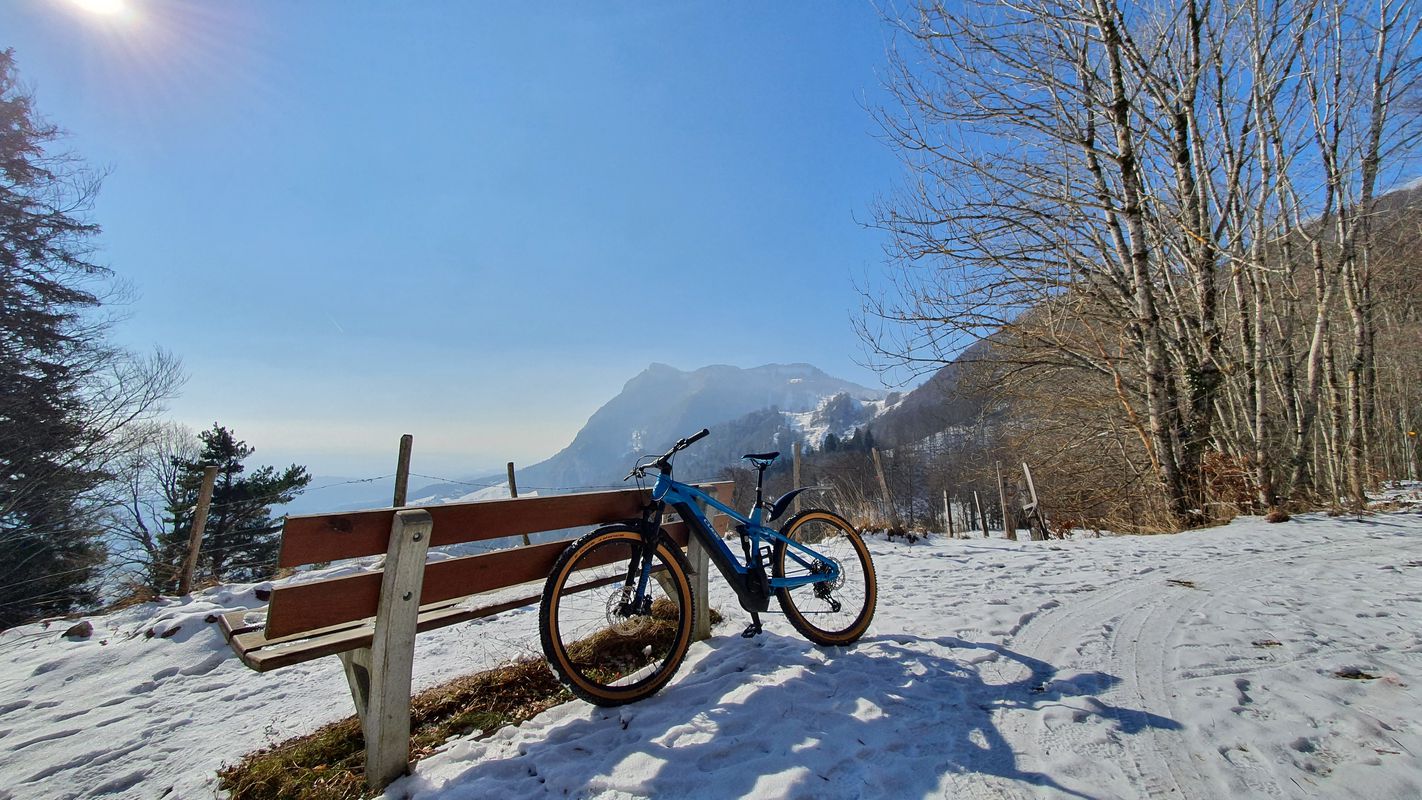
Riedholz à vélo
Découvre une carte de 123 itinéraires et pistes cyclables près de Riedholz, créés par notre communauté.
Portrait de région
Fais connaissance avec Riedholz
Trouve l’itinéraire à vélo qui te convient à Riedholz, où nous avons 123 pistes cyclables à explorer. La plupart des gens enfourchent leur vélo pour rouler ici aux mois de juin et juillet.
6 402 km
Distance enregistrée
123
Itinéraires cyclables
1 576
Population
Communauté
Utilisateurs les plus actifs à Riedholz
De notre communauté
Les meilleurs itinéraires à vélo dans et autour de Riedholz
Hauptstrasse, Rüttenen nach Schänzlistrasse, Solothurn
Itinéraire à vélo à Riedholz, Canton de Soleure, Suisse
- 27,6 km
- Distance
- 1 033 m
- Montée
- 1 174 m
- Descente
alte balmbergstr
Itinéraire à vélo à Riedholz, Canton de Soleure, Suisse
- 19,9 km
- Distance
- 789 m
- Montée
- 494 m
- Descente
Buchenstrasse 3, Riedholz nach Sonnenrainstrasse 20, Riedholz
Itinéraire à vélo à Riedholz, Canton de Soleure, Suisse
- 19,7 km
- Distance
- 581 m
- Montée
- 530 m
- Descente
Riedholz, Mittlerer Balmberg, Attiswil Teuffelen, Riedholz
Itinéraire à vélo à Riedholz, Canton de Soleure, Suisse
- 29,8 km
- Distance
- 1 489 m
- Montée
- 1 491 m
- Descente
Découvrez plus d'itinéraires
 Buchenstrasse 3, Riedholz nach Tannenstrasse 2, Riedholz
- Distance
- 19,2 km
- Montée
- 502 m
- Descente
- 506 m
- Emplacement
- Riedholz, Canton de Soleure, Suisse
 Brittern - Grenchen - Lommiswil - Oberdorf
- Distance
- 50,1 km
- Montée
- 592 m
- Descente
- 590 m
- Emplacement
- Riedholz, Canton de Soleure, Suisse
 Night Trail
- Distance
- 30,5 km
- Montée
- 945 m
- Descente
- 948 m
- Emplacement
- Riedholz, Canton de Soleure, Suisse
 Grosse Jurarunde SO, JU, BE, SO
- Distance
- 127,3 km
- Montée
- 2 158 m
- Descente
- 2 132 m
- Emplacement
- Riedholz, Canton de Soleure, Suisse
 Grenchenbergrunde
- Distance
- 82,1 km
- Montée
- 1 652 m
- Descente
- 1 664 m
- Emplacement
- Riedholz, Canton de Soleure, Suisse
 Runde um den Bieler See
- Distance
- 105,5 km
- Montée
- 667 m
- Descente
- 703 m
- Emplacement
- Riedholz, Canton de Soleure, Suisse
 Mike's Trainingsweg
- Distance
- 7,7 km
- Montée
- 36 m
- Descente
- 187 m
- Emplacement
- Riedholz, Canton de Soleure, Suisse
 Steimetten, Balm bei Günsberg nach Amselweg 6, Biberist
- Distance
- 12,4 km
- Montée
- 64 m
- Descente
- 322 m
- Emplacement
- Riedholz, Canton de Soleure, Suisse


