Olten à vélo
Découvre une carte de 551 itinéraires et pistes cyclables près de Olten, créés par notre communauté.
Portrait de région
Fais connaissance avec Olten
Trouve l’itinéraire à vélo qui te convient à Olten, où nous avons 551 pistes cyclables à explorer. La plupart des gens enfourchent leur vélo pour rouler ici aux mois de juin et juillet.
40 952 km
Distance enregistrée
551
Itinéraires cyclables
16 411
Population
Communauté
Utilisateurs les plus actifs à Olten
Itinéraires soigneusement sélectionnés
Découvre Olten à travers ces collections
Tour
Tour
De notre communauté
Les meilleurs itinéraires à vélo dans et autour de Olten
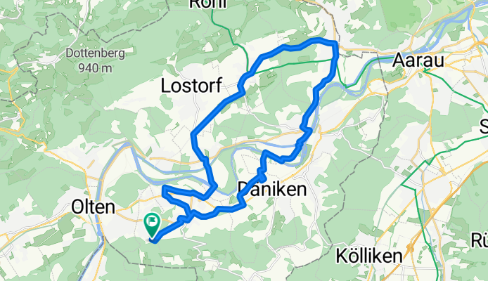
Säliring, Starrkirch-Wil nach Säliring, Starrkirch-Wil
Itinéraire à vélo à Olten, Canton de Soleure, Suisse
- 25,6 km
- Distance
- 234 m
- Montée
- 233 m
- Descente
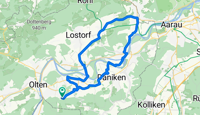
Säliring, Starrkirch-Wil nach Säliring, Starrkirch-Wil
Itinéraire à vélo à Olten, Canton de Soleure, Suisse
- 25,6 km
- Distance
- 241 m
- Montée
- 243 m
- Descente
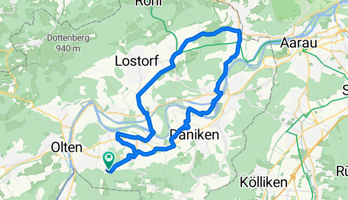
Säliring, Starrkirch-Wil nach Säliring, Starrkirch-Wil
Itinéraire à vélo à Olten, Canton de Soleure, Suisse
- 25,7 km
- Distance
- 250 m
- Montée
- 251 m
- Descente
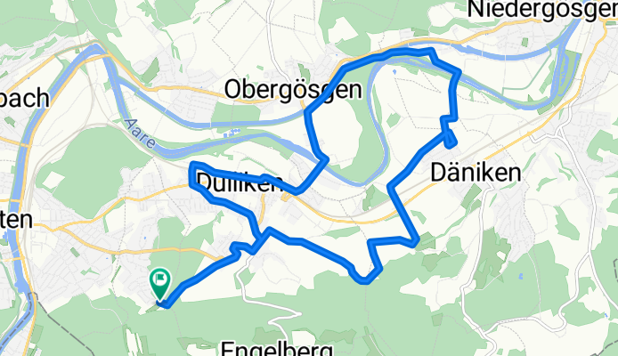
Säliring, Starrkirch-Wil nach Säliring, Starrkirch-Wil
Itinéraire à vélo à Olten, Canton de Soleure, Suisse
- 16 km
- Distance
- 142 m
- Montée
- 144 m
- Descente
Découvrez plus d'itinéraires
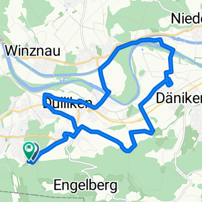 Kohliweidstrasse, Starrkirch-Wil nach Säliring, Starrkirch-Wil
- Distance
- 15,8 km
- Montée
- 145 m
- Descente
- 146 m
- Emplacement
- Olten, Canton de Soleure, Suisse
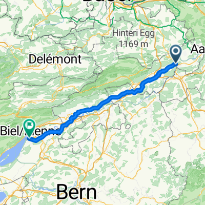 Olten - Nidau
- Distance
- 67,9 km
- Montée
- 258 m
- Descente
- 228 m
- Emplacement
- Olten, Canton de Soleure, Suisse
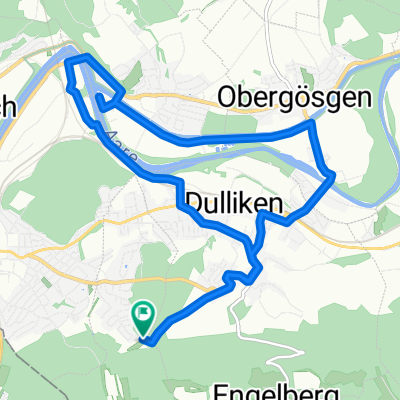 Säliring, Starrkirch-Wil nach Säliring, Starrkirch-Wil
- Distance
- 13,4 km
- Montée
- 124 m
- Descente
- 124 m
- Emplacement
- Olten, Canton de Soleure, Suisse
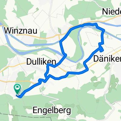 Säliring, Starrkirch-Wil nach Säliring, Starrkirch-Wil
- Distance
- 13,2 km
- Montée
- 136 m
- Descente
- 138 m
- Emplacement
- Olten, Canton de Soleure, Suisse
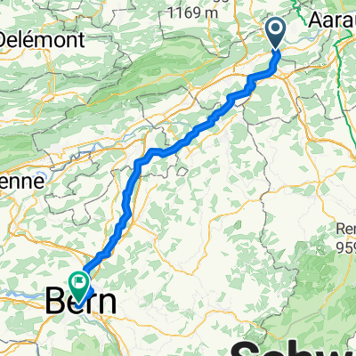 Olten - Bern
- Distance
- 72,4 km
- Montée
- 599 m
- Descente
- 444 m
- Emplacement
- Olten, Canton de Soleure, Suisse
 Route nach Hergiswil (Nidwalden)
- Distance
- 193 km
- Montée
- 4 900 m
- Descente
- 4 857 m
- Emplacement
- Olten, Canton de Soleure, Suisse
 Grenchenberg Corcelles Schelten
- Distance
- 149 km
- Montée
- 2 318 m
- Descente
- 2 318 m
- Emplacement
- Olten, Canton de Soleure, Suisse
 Oltiger stich
- Distance
- 42,6 km
- Montée
- 884 m
- Descente
- 884 m
- Emplacement
- Olten, Canton de Soleure, Suisse


