Oensingen à vélo
Découvre une carte de 186 itinéraires et pistes cyclables près de Oensingen, créés par notre communauté.
Portrait de région
Fais connaissance avec Oensingen
Trouve l’itinéraire à vélo qui te convient à Oensingen, où nous avons 186 pistes cyclables à explorer. La plupart des gens enfourchent leur vélo pour rouler ici aux mois de mai et juin.
8 379 km
Distance enregistrée
186
Itinéraires cyclables
4 609
Population
Communauté
Utilisateurs les plus actifs à Oensingen
De notre communauté
Les meilleurs itinéraires à vélo dans et autour de Oensingen
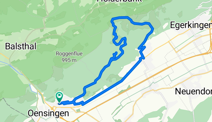
Aegertenweg, Oensingen nach Aegertenweg, Oensingen
Itinéraire à vélo à Oensingen, Canton de Soleure, Suisse
- 17,5 km
- Distance
- 581 m
- Montée
- 579 m
- Descente
Gigathlon 2012
Itinéraire à vélo à Oensingen, Canton de Soleure, Suisse
- 103,7 km
- Distance
- 1 597 m
- Montée
- 1 661 m
- Descente
Scheltenpass-Passwang Plus
Itinéraire à vélo à Oensingen, Canton de Soleure, Suisse
- 115,4 km
- Distance
- 1 884 m
- Montée
- 1 858 m
- Descente
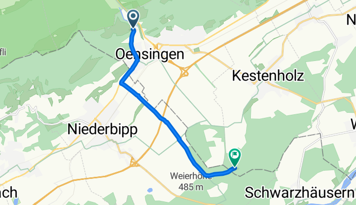
Von Oensingen bis Kestenholz
Itinéraire à vélo à Oensingen, Canton de Soleure, Suisse
- 6,7 km
- Distance
- 59 m
- Montée
- 60 m
- Descente
Découvrez plus d'itinéraires
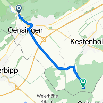 Von Oensingen bis Kestenholz
- Distance
- 6,6 km
- Montée
- 60 m
- Descente
- 60 m
- Emplacement
- Oensingen, Canton de Soleure, Suisse
 Oensingen Allerheiligenberg
- Distance
- 37,6 km
- Montée
- 817 m
- Descente
- 814 m
- Emplacement
- Oensingen, Canton de Soleure, Suisse
 Oensingen-Hälfenbergflue-Usserberg
- Distance
- 49 km
- Montée
- 1 052 m
- Descente
- 1 053 m
- Emplacement
- Oensingen, Canton de Soleure, Suisse
 Sur la Scheulte
- Distance
- 45 km
- Montée
- 1 675 m
- Descente
- 845 m
- Emplacement
- Oensingen, Canton de Soleure, Suisse
 Erlinsburgweg 4, Oensingen nach Burgäschi
- Distance
- 21,8 km
- Montée
- 187 m
- Descente
- 203 m
- Emplacement
- Oensingen, Canton de Soleure, Suisse
 Gigathlon 2012 - Rennvelostrecke Samstag
- Distance
- 101,4 km
- Montée
- 1 501 m
- Descente
- 1 588 m
- Emplacement
- Oensingen, Canton de Soleure, Suisse
 Oensingen nach Laufen
- Distance
- 39,8 km
- Montée
- 1 230 m
- Descente
- 1 337 m
- Emplacement
- Oensingen, Canton de Soleure, Suisse
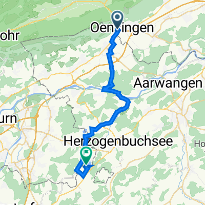 Erlinsburgweg 4, Oensingen nach Seeberg
- Distance
- 22,3 km
- Montée
- 146 m
- Descente
- 167 m
- Emplacement
- Oensingen, Canton de Soleure, Suisse


