Canton de Nidwald à vélo
Découvre une carte de 882 itinéraires et pistes cyclables à Canton de Nidwald, créés par notre communauté.
Portrait de région
Fais connaissance avec Canton de Nidwald
Trouve l’itinéraire à vélo qui te convient à Canton de Nidwald, où nous avons 882 pistes cyclables à explorer. La plupart des gens enfourchent leur vélo pour rouler ici aux mois de juin et juillet.
37 782 km
Distance enregistrée
882
Itinéraires cyclables
Communauté
Utilisateurs les plus actifs à Canton de Nidwald
Itinéraires soigneusement sélectionnés
Découvre Canton de Nidwald à travers ces collections
- Tour
 Tour
Tour
De notre communauté
Les meilleurs itinéraires à vélo à Canton de Nidwald
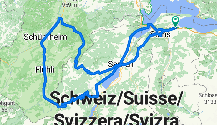
Beromünster
Itinéraire à vélo à Ennetbürgen, Canton de Nidwald, Suisse
- 91,2 km
- Distance
- 2 067 m
- Montée
- 2 069 m
- Descente
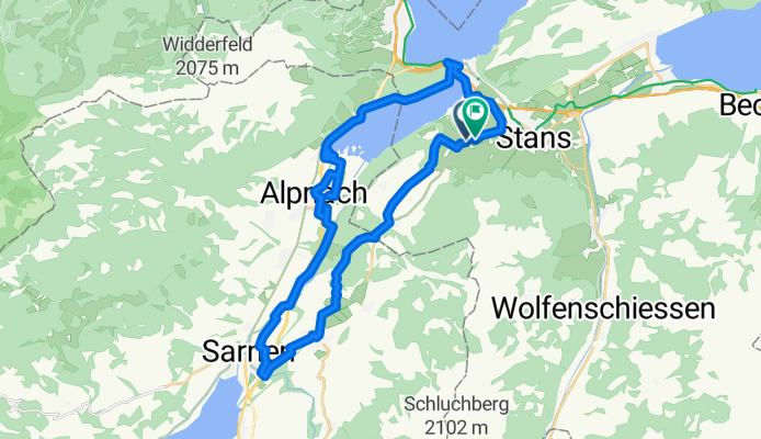
Alpnachsee (Ennetmoos, Kerns, Alpnach, Stansstad)
Itinéraire à vélo à Stans, Canton de Nidwald, Suisse
- 35,7 km
- Distance
- 544 m
- Montée
- 547 m
- Descente
Panorama - Glaubenberg
Itinéraire à vélo à Buochs, Canton de Nidwald, Suisse
- 124,3 km
- Distance
- 3 200 m
- Montée
- 3 200 m
- Descente
Stockhütten Runde
Itinéraire à vélo à Buochs, Canton de Nidwald, Suisse
- 28,6 km
- Distance
- 1 125 m
- Montée
- 1 129 m
- Descente
Découvrez plus d'itinéraires
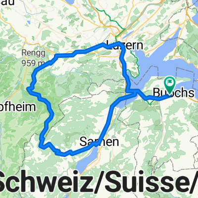 Glaubenbergpass
- Distance
- 92,9 km
- Montée
- 2 182 m
- Descente
- 2 181 m
- Emplacement
- Buochs, Canton de Nidwald, Suisse
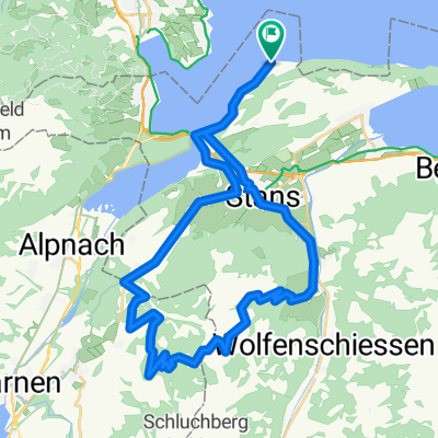 Route in Stansstad
- Distance
- 45,9 km
- Montée
- 2 031 m
- Descente
- 2 032 m
- Emplacement
- Ennetbürgen, Canton de Nidwald, Suisse
 Bürgenstock über Fürigen
- Distance
- 23,3 km
- Montée
- 608 m
- Descente
- 610 m
- Emplacement
- Stans, Canton de Nidwald, Suisse
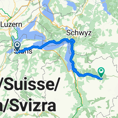 Sarnen - Beckenried
- Distance
- 63,8 km
- Montée
- 2 548 m
- Descente
- 2 077 m
- Emplacement
- Stans, Canton de Nidwald, Suisse
 Stans - Bürglen UR
- Distance
- 56,5 km
- Montée
- 1 987 m
- Descente
- 1 623 m
- Emplacement
- Stans, Canton de Nidwald, Suisse
 Allmendstrasse, Beckenried nach Dorfstrasse, Flüelen
- Distance
- 44 km
- Montée
- 2 130 m
- Descente
- 2 164 m
- Emplacement
- Beckenried, Canton de Nidwald, Suisse
 giretto di riscaldamento
- Distance
- 52,8 km
- Montée
- 698 m
- Descente
- 734 m
- Emplacement
- Ennetbürgen, Canton de Nidwald, Suisse
 Bürgenstock Route über Eichli
- Distance
- 23 km
- Montée
- 652 m
- Descente
- 651 m
- Emplacement
- Stans, Canton de Nidwald, Suisse
Régions cyclables dans Canton de Nidwald
Beckenried
100 itinéraires à vélo
Stansstad
75 itinéraires à vélo
Buochs
111 itinéraires à vélo
Stans
190 itinéraires à vélo
Dallenwil
36 itinéraires à vélo
Découvre où les gens font du vélo en Suisse
Régions cyclables populaires en Suisse


