Altendorf à vélo
Découvre une carte de 178 itinéraires et pistes cyclables près de Altendorf, créés par notre communauté.
Portrait de région
Fais connaissance avec Altendorf
Trouve l’itinéraire à vélo qui te convient à Altendorf, où nous avons 178 pistes cyclables à explorer. La plupart des gens enfourchent leur vélo pour rouler ici aux mois de mai et septembre.
44 489 km
Distance enregistrée
178
Itinéraires cyclables
5 280
Population
Communauté
Utilisateurs les plus actifs à Altendorf
Itinéraires soigneusement sélectionnés
Découvre Altendorf à travers ces collections
Tour
De notre communauté
Les meilleurs itinéraires à vélo dans et autour de Altendorf
der Grabentrail
Itinéraire à vélo à Altendorf, Canton de Schwytz, Suisse
- 13,4 km
- Distance
- 710 m
- Montée
- 606 m
- Descente
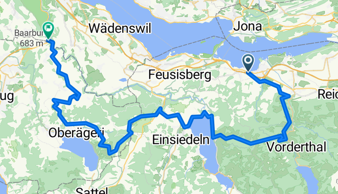
Lachen - Ruchweid - Willerzell - Etzel - Pfäffike
Itinéraire à vélo à Altendorf, Canton de Schwytz, Suisse
- 34,8 km
- Distance
- 1 028 m
- Montée
- 1 023 m
- Descente
Sattelegg for newbies
Itinéraire à vélo à Altendorf, Canton de Schwytz, Suisse
- 64 km
- Distance
- 1 099 m
- Montée
- 978 m
- Descente
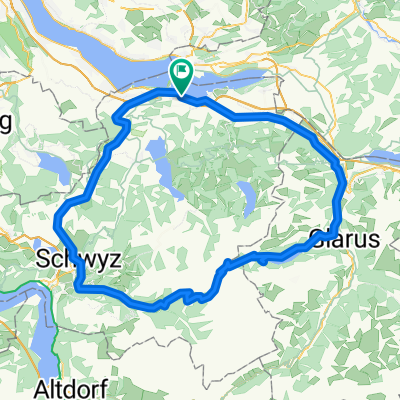
Obersee
Itinéraire à vélo à Altendorf, Canton de Schwytz, Suisse
- 34,4 km
- Distance
- 260 m
- Montée
- 275 m
- Descente
Découvrez plus d'itinéraires
 Stöcklichrüz
- Distance
- 17,1 km
- Montée
- 1 182 m
- Descente
- 960 m
- Emplacement
- Altendorf, Canton de Schwytz, Suisse
 Lange Ausfahrt von Altendorf nach Lachen SZ
- Distance
- 31,7 km
- Montée
- 1 161 m
- Descente
- 1 177 m
- Emplacement
- Altendorf, Canton de Schwytz, Suisse
 Lange Ausfahrt durch Altendorf
- Distance
- 55,9 km
- Montée
- 1 934 m
- Descente
- 1 934 m
- Emplacement
- Altendorf, Canton de Schwytz, Suisse
 #nichtganzzweihundert2025
- Distance
- 203,7 km
- Montée
- 2 993 m
- Descente
- 2 989 m
- Emplacement
- Altendorf, Canton de Schwytz, Suisse
 Alpen 2012 - Pragelpass
- Distance
- 110,6 km
- Montée
- 1 682 m
- Descente
- 1 682 m
- Emplacement
- Altendorf, Canton de Schwytz, Suisse
 Tour mit Urs
- Distance
- 70,2 km
- Montée
- 2 047 m
- Descente
- 2 046 m
- Emplacement
- Altendorf, Canton de Schwytz, Suisse
 Lachen-Sattelegg
- Distance
- 30,1 km
- Montée
- 1 018 m
- Descente
- 1 017 m
- Emplacement
- Altendorf, Canton de Schwytz, Suisse
 Lachen - Meinrad - Stöcklichrüz - Lachen
- Distance
- 20,9 km
- Montée
- 834 m
- Descente
- 829 m
- Emplacement
- Altendorf, Canton de Schwytz, Suisse


