
Chanac à vélo
Découvre une carte de 246 itinéraires et pistes cyclables près de Chanac, créés par notre communauté.
Portrait de région
Fais connaissance avec Chanac
Trouve l’itinéraire à vélo qui te convient à Chanac, où nous avons 246 pistes cyclables à explorer. La plupart des gens enfourchent leur vélo pour rouler ici aux mois de juillet et août.
8 842 km
Distance enregistrée
246
Itinéraires cyclables
1 212
Population
Communauté
Utilisateurs les plus actifs à Chanac


De notre communauté
Les meilleurs itinéraires à vélo dans et autour de Chanac

Ride Day 30—11 Oct 2005—48210 St-Chely du Tarn/Sainte Énimie — Circle
Itinéraire à vélo à Chanac, Occitanie, France
- 58 km
- Distance
- 951 m
- Montée
- 951 m
- Descente

Ride Day 31—12 Oct 2005—48210 St-Chely du Tarn/Sainte Énimie to 48260 Recoules D'Aubrac (Nasbinals)
Itinéraire à vélo à Chanac, Occitanie, France
- 86,1 km
- Distance
- 1 224 m
- Montée
- 644 m
- Descente

F122-2024-Chanac-Florac-Les Vignes-La Malene-Chanac
Itinéraire à vélo à Chanac, Occitanie, France
- 118,7 km
- Distance
- 3 462 m
- Montée
- 3 474 m
- Descente

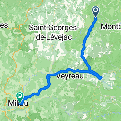
Tarnroute (Nr. 160) Ste. Enemie- Millau
Itinéraire à vélo à Chanac, Occitanie, France
- 55,4 km
- Distance
- 318 m
- Montée
- 436 m
- Descente
Découvrez plus d'itinéraires
 Ste. Enimie - Millau (Causse Route nr. 159)
- Distance
- 76,7 km
- Montée
- 1 119 m
- Descente
- 1 262 m
- Emplacement
- Chanac, Occitanie, France
 Entre Culture et le Monastier
- Distance
- 36,7 km
- Montée
- 580 m
- Descente
- 583 m
- Emplacement
- Chanac, Occitanie, France
 1999 Radlour am Tarn
- Distance
- 90,3 km
- Montée
- 1 143 m
- Descente
- 1 115 m
- Emplacement
- Chanac, Occitanie, France
 F125-2024-Chanac-La Tieule-Chanac
- Distance
- 65,1 km
- Montée
- 1 794 m
- Descente
- 1 798 m
- Emplacement
- Chanac, Occitanie, France
 F121-2024-Chanac-Quezac-Saint Emine-Chanac
- Distance
- 63,4 km
- Montée
- 2 103 m
- Descente
- 2 109 m
- Emplacement
- Chanac, Occitanie, France
 F124-2024-Chanac-Einrollen-Trekking
- Distance
- 58,7 km
- Montée
- 1 670 m
- Descente
- 1 670 m
- Emplacement
- Chanac, Occitanie, France
 F120-2024-Chanac-Saint Emine-La Malene-Chanac
- Distance
- 61,1 km
- Montée
- 2 248 m
- Descente
- 2 255 m
- Emplacement
- Chanac, Occitanie, France
 F123-2024-Chanac-Correjac-Le Balmes-Chanac
- Distance
- 42,9 km
- Montée
- 1 243 m
- Descente
- 1 244 m
- Emplacement
- Chanac, Occitanie, France