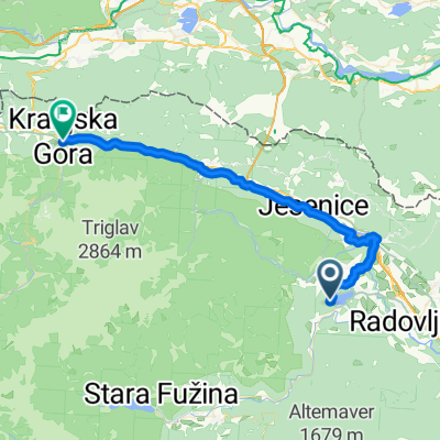
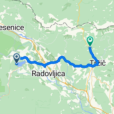
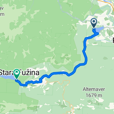
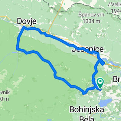
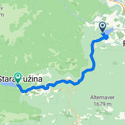
- 41 km
- 900 m
- 581 m
- Zgornje Gorje, Gorje, Slovénie

Zgornje Gorje à vélo
Découvre une carte de 693 itinéraires et pistes cyclables près de Zgornje Gorje, créés par notre communauté.
Portrait de région
Fais connaissance avec Zgornje Gorje
Trouve l’itinéraire à vélo qui te convient à Zgornje Gorje, où nous avons 693 pistes cyclables à explorer. La plupart des gens enfourchent leur vélo pour rouler ici aux mois de juillet et août.
38 475 km
Distance enregistrée
693
Itinéraires cyclables
500
Population
Communauté
Utilisateurs les plus actifs à Zgornje Gorje
Itinéraires soigneusement sélectionnés
Découvre Zgornje Gorje à travers ces collections
 Tour
Tour
De notre communauté
Les meilleurs itinéraires à vélo dans et autour de Zgornje Gorje
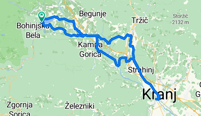
Bled, Bled do Bled, Bled
Itinéraire à vélo à Zgornje Gorje, Gorje, Slovénie
- 73,1 km
- Distance
- 1 266 m
- Montée
- 1 264 m
- Descente
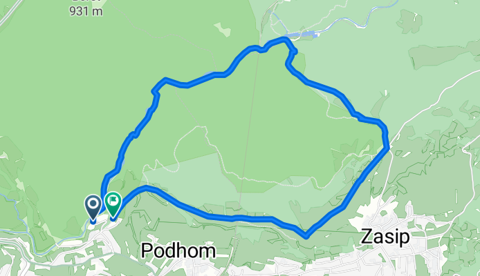
Rundweg durch die Vintgar-Schlucht
Itinéraire à vélo à Zgornje Gorje, Gorje, Slovénie
- 5,6 km
- Distance
- 242 m
- Montée
- 239 m
- Descente
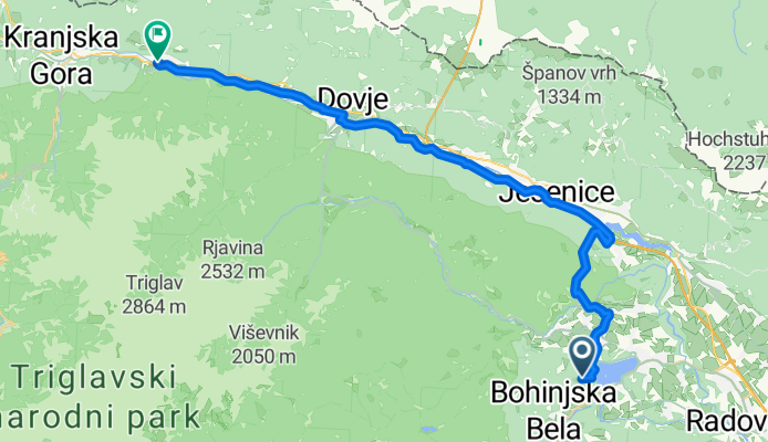
Bled, Bled to Jezerci, Gozd Martuljek
Itinéraire à vélo à Zgornje Gorje, Gorje, Slovénie
- 33,7 km
- Distance
- 814 m
- Montée
- 591 m
- Descente
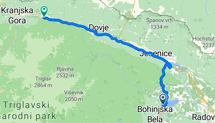
Bled, Bled to Jezerci, Gozd Martuljek
Itinéraire à vélo à Zgornje Gorje, Gorje, Slovénie
- 33,1 km
- Distance
- 818 m
- Montée
- 596 m
- Descente
Découvrez plus d'itinéraires
- Bled, Bled to Vitranška ulica, Kranjska Gora
- Von Bled bis Tržič
- 27,6 km
- 731 m
- 565 m
- Zgornje Gorje, Gorje, Slovénie
- Kolodvorska cesta, Bled - Regionalna Cesta 904, Bohinjsko Jezero
- 27,6 km
- 609 m
- 606 m
- Zgornje Gorje, Gorje, Slovénie
- pokljuka family
- 29,1 km
- 866 m
- 862 m
- Zgornje Gorje, Gorje, Slovénie
- Rečiška cesta to Rečiška cesta
- 41,9 km
- 1 035 m
- 1 034 m
- Zgornje Gorje, Gorje, Slovénie
- Bosques de Bled
- 14,8 km
- 549 m
- 552 m
- Zgornje Gorje, Gorje, Slovénie
- From Bled to Bohinjsko jezero
- 28 km
- 861 m
- 823 m
- Zgornje Gorje, Gorje, Slovénie
- Kranjska gora s Krmo
- 75,3 km
- 683 m
- 671 m
- Zgornje Gorje, Gorje, Slovénie
Itinéraires depuis Zgornje Gorje
Excursion à vélo d’une journée de
Zgornje Gorje à Kranjska Gora
Excursion à vélo d’une journée de
Zgornje Gorje à Bohinjska Bistrica
À vélo de
Zgornje Gorje à Bled
Itinéraires vers Zgornje Gorje
Excursion à vélo d’une journée de
Ljubljana à Zgornje Gorje
Excursion à vélo d’une journée de
Kranjska Gora à Zgornje Gorje
À vélo de
Bled à Zgornje Gorje


