Camberwell à vélo
Découvre une carte de 3 401 itinéraires et pistes cyclables près de Camberwell, créés par notre communauté.
Portrait de région
Fais connaissance avec Camberwell
Trouve l’itinéraire à vélo qui te convient à Camberwell, où nous avons 3 401 pistes cyclables à explorer. La plupart des gens enfourchent leur vélo pour rouler ici aux mois de mai et juin.
65 727 km
Distance enregistrée
3 401
Itinéraires cyclables
Communauté
Utilisateurs les plus actifs à Camberwell
Itinéraires soigneusement sélectionnés
Découvre Camberwell à travers ces collections
De notre communauté
Les meilleurs itinéraires à vélo dans et autour de Camberwell
St Margarets Circular
Itinéraire à vélo à Camberwell, Angleterre, Royaume-Uni
- 42,6 km
- Distance
- 139 m
- Montée
- 142 m
- Descente
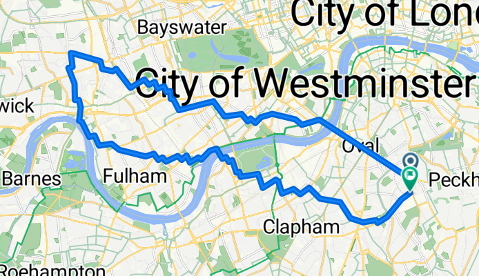
Shepherds Bush Circular
Itinéraire à vélo à Camberwell, Angleterre, Royaume-Uni
- 28,1 km
- Distance
- 56 m
- Montée
- 54 m
- Descente
Shepherds Bush Circular 2
Itinéraire à vélo à Camberwell, Angleterre, Royaume-Uni
- 28,2 km
- Distance
- 53 m
- Montée
- 51 m
- Descente
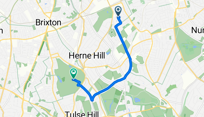
The Hamlet, London to Lambeth, London
Itinéraire à vélo à Camberwell, Angleterre, Royaume-Uni
- 3,9 km
- Distance
- 36 m
- Montée
- 39 m
- Descente
Découvrez plus d'itinéraires
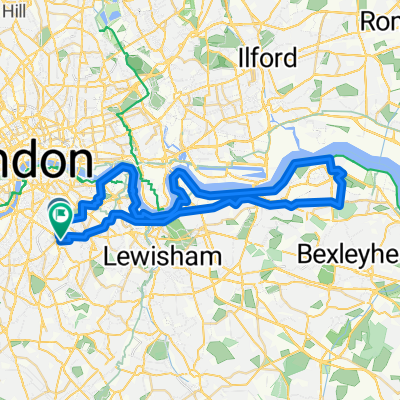 Camberwell-Abbey Wood Circular
- Distance
- 49,4 km
- Montée
- 133 m
- Descente
- 127 m
- Emplacement
- Camberwell, Angleterre, Royaume-Uni
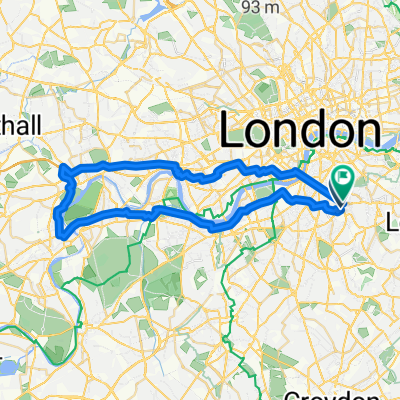 Boston Manor Park Circular
- Distance
- 43,6 km
- Montée
- 75 m
- Descente
- 76 m
- Emplacement
- Camberwell, Angleterre, Royaume-Uni
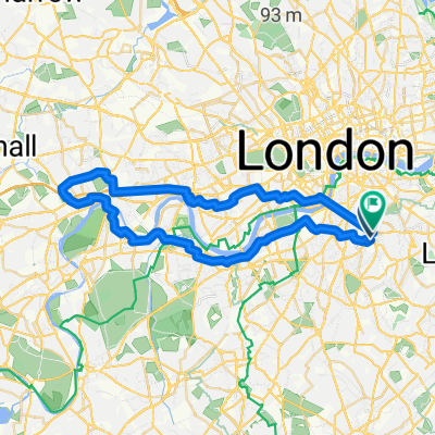 Boston Manor Park Circular 2
- Distance
- 41,4 km
- Montée
- 86 m
- Descente
- 87 m
- Emplacement
- Camberwell, Angleterre, Royaume-Uni
 QE Park Circular
- Distance
- 27,4 km
- Montée
- 95 m
- Descente
- 96 m
- Emplacement
- Camberwell, Angleterre, Royaume-Uni
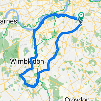 Camberwell Morden Park Circular
- Distance
- 36,3 km
- Montée
- 120 m
- Descente
- 121 m
- Emplacement
- Camberwell, Angleterre, Royaume-Uni
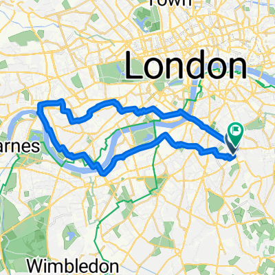 Hammersmith Circular 5
- Distance
- 26,4 km
- Montée
- 72 m
- Descente
- 73 m
- Emplacement
- Camberwell, Angleterre, Royaume-Uni
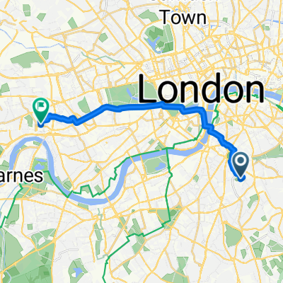 Home to G&L
- Distance
- 13,5 km
- Montée
- 53 m
- Descente
- 58 m
- Emplacement
- Camberwell, Angleterre, Royaume-Uni
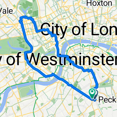 Marylebone Circular 4
- Distance
- 20 km
- Montée
- 83 m
- Descente
- 83 m
- Emplacement
- Camberwell, Angleterre, Royaume-Uni
Itinéraires depuis Camberwell
Excursion à vélo d’une journée de
Camberwell à Hammersmith
À vélo de
Camberwell à Cité de Londres
À vélo de
Camberwell à City of Westminster
Itinéraires vers Camberwell
À vélo de
Catford à Camberwell
À vélo de
Canary Wharf à Camberwell


