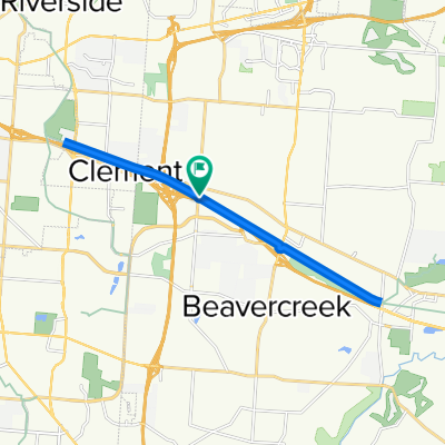
RFW Flat Bikepath
- 46,8 km
- 126 m
- 119 m
- Beavercreek, Ohio, États Unis

Découvre une carte de 104 itinéraires et pistes cyclables près de Beavercreek, créés par notre communauté.
Portrait de région
Trouve l’itinéraire à vélo qui te convient à Beavercreek, où nous avons 104 pistes cyclables à explorer. La plupart des gens enfourchent leur vélo pour rouler ici aux mois de mai et juillet.
2 106 km
Distance enregistrée
104
Itinéraires cyclables
45 193
Population
Communauté
De notre communauté
Itinéraire à vélo à Beavercreek, Ohio, États Unis
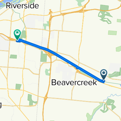
Itinéraire à vélo à Beavercreek, Ohio, États Unis
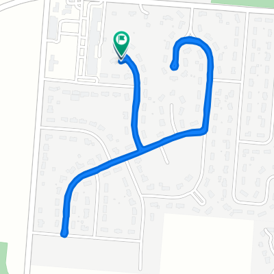
Itinéraire à vélo à Beavercreek, Ohio, États Unis
Itinéraire à vélo à Beavercreek, Ohio, États Unis