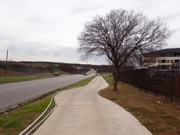
Rollingwood à vélo
Découvre une carte de 235 itinéraires et pistes cyclables près de Rollingwood, créés par notre communauté.
Portrait de région
Fais connaissance avec Rollingwood
Trouve l’itinéraire à vélo qui te convient à Rollingwood, où nous avons 235 pistes cyclables à explorer. La plupart des gens enfourchent leur vélo pour rouler ici aux mois de février et août.
3 833 km
Distance enregistrée
235
Itinéraires cyclables
1 412
Population
Communauté
Utilisateurs les plus actifs à Rollingwood
De notre communauté
Les meilleurs itinéraires à vélo dans et autour de Rollingwood
Austin - Circle to Bee Cave
Itinéraire à vélo à Rollingwood, Texas, États Unis
- 44,6 km
- Distance
- 562 m
- Montée
- 564 m
- Descente
Buda loop - 37 mi
Itinéraire à vélo à Rollingwood, Texas, États Unis
- 60,2 km
- Distance
- 212 m
- Montée
- 213 m
- Descente
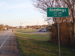
Austin to Giddings
Itinéraire à vélo à Rollingwood, Texas, États Unis
- 113,7 km
- Distance
- 492 m
- Montée
- 529 m
- Descente
Austin - Circle to McKinney Falls State Park
Itinéraire à vélo à Rollingwood, Texas, États Unis
- 40,3 km
- Distance
- 360 m
- Montée
- 355 m
- Descente
Découvrez plus d'itinéraires
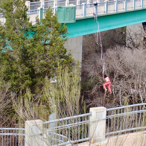 Austin - Circle thru Lost Creek Blvd to Barton Creek and Costco
- Distance
- 41,4 km
- Montée
- 572 m
- Descente
- 572 m
- Emplacement
- Rollingwood, Texas, États Unis
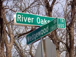 Austin - Circle to MT Supermarket and Walnut Creek
- Distance
- 49,2 km
- Montée
- 414 m
- Descente
- 413 m
- Emplacement
- Rollingwood, Texas, États Unis
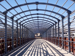 Austin - Circle Southeast to Richard Moya Park
- Distance
- 47,2 km
- Montée
- 288 m
- Descente
- 288 m
- Emplacement
- Rollingwood, Texas, États Unis
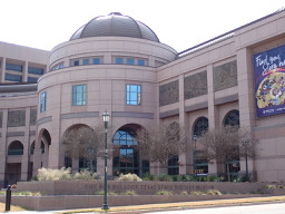 Austin - Circle to Northeast
- Distance
- 36,4 km
- Montée
- 270 m
- Descente
- 276 m
- Emplacement
- Rollingwood, Texas, États Unis
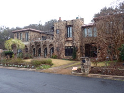 Austin - Random Riding in Neighborhood North of MUNY Golf Course
- Distance
- 18,7 km
- Montée
- 290 m
- Descente
- 290 m
- Emplacement
- Rollingwood, Texas, États Unis
 Austin - Circle to Steiner Ranch
- Distance
- 56,1 km
- Montée
- 757 m
- Descente
- 758 m
- Emplacement
- Rollingwood, Texas, États Unis
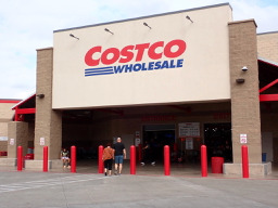 Austin - Circle to MT Supermarket and Costco
- Distance
- 50,5 km
- Montée
- 428 m
- Descente
- 428 m
- Emplacement
- Rollingwood, Texas, États Unis
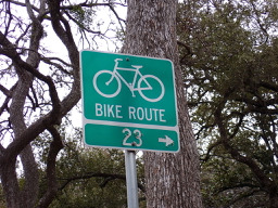 Austin - Circle to North Via Camp Mabry, Bike Rt 23, and Shoal Creek Blvd
- Distance
- 39,5 km
- Montée
- 515 m
- Descente
- 513 m
- Emplacement
- Rollingwood, Texas, États Unis
Itinéraires depuis Rollingwood
Sortie rapide à vélo de
Rollingwood à Austin
Itinéraires vers Rollingwood
Sortie rapide à vélo de
Austin à Rollingwood


