


Acadia-Shenadoah on the East Coast Greenway
- 1 915,7 km
- 1 619 m
- 1 003 m
- Tremont, Maine, États Unis

Découvre une carte de 23 itinéraires et pistes cyclables près de Tremont, créés par notre communauté.
Portrait de région
Trouve l’itinéraire à vélo qui te convient à Tremont, où nous avons 23 pistes cyclables à explorer.
2 675 km
Distance enregistrée
23
Itinéraires cyclables
1 590
Population
Communauté
De notre communauté
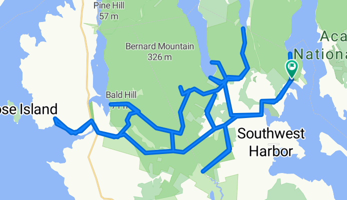
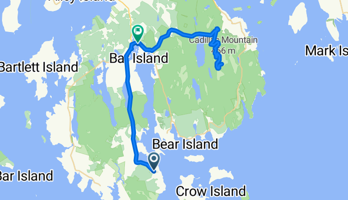
Itinéraire à vélo à Tremont, Maine, États Unis
Itinéraire à vélo à Tremont, Maine, États Unis
Itinéraire à vélo à Tremont, Maine, États Unis
Itinéraire à vélo à Tremont, Maine, États Unis


