Paul Bunyan Trail
- 152,5 km
- 186 m
- 138 m
- Brainerd, Minnesota, États Unis

Trouve l’itinéraire à vélo qui te convient à Brainerd, où nous avons 28 pistes cyclables à explorer.
Distance enregistrée
Itinéraires cyclables
Population
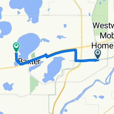
Itinéraire à vélo à Brainerd, Minnesota, États Unis
Itinéraire à vélo à Brainerd, Minnesota, États Unis
Itinéraire à vélo à Brainerd, Minnesota, États Unis