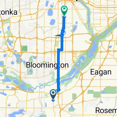
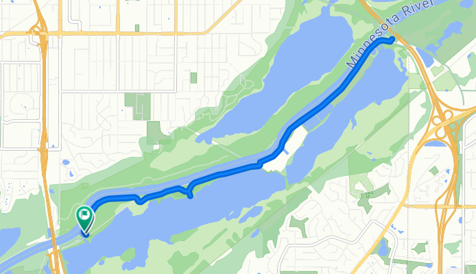
Bloomington to Bluff Trail, Bloomington
- 13,3 km
- 13 m
- 9 m
- Burnsville, Minnesota, États Unis

Trouve l’itinéraire à vélo qui te convient à Burnsville, où nous avons 174 pistes cyclables à explorer. La plupart des gens enfourchent leur vélo pour rouler ici aux mois de juin et août.
Distance enregistrée
Itinéraires cyclables
Population


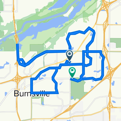
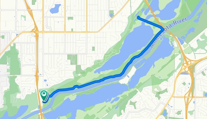
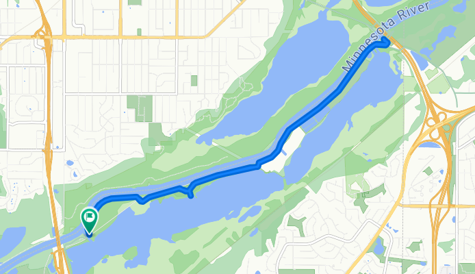
Itinéraire à vélo à Burnsville, Minnesota, États Unis


Itinéraire à vélo à Burnsville, Minnesota, États Unis

Itinéraire à vélo à Burnsville, Minnesota, États Unis

Itinéraire à vélo à Burnsville, Minnesota, États Unis