
Alexandria Bay à vélo
Découvre une carte de 29 itinéraires et pistes cyclables près de Alexandria Bay, créés par notre communauté.
Portrait de région
Fais connaissance avec Alexandria Bay
Trouve l’itinéraire à vélo qui te convient à Alexandria Bay, où nous avons 29 pistes cyclables à explorer.
1 225 km
Distance enregistrée
29
Itinéraires cyclables
1 078
Population
Communauté
Utilisateurs les plus actifs à Alexandria Bay


De notre communauté
Les meilleurs itinéraires à vélo dans et autour de Alexandria Bay

Waterfront jour 6
Itinéraire à vélo à Alexandria Bay, New York, États Unis
- 90,6 km
- Distance
- 131 m
- Montée
- 126 m
- Descente

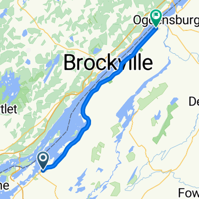
Ivy Lea to Ottawa
Itinéraire à vélo à Alexandria Bay, New York, États Unis
- 155,7 km
- Distance
- 141 m
- Montée
- 163 m
- Descente
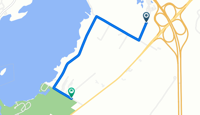
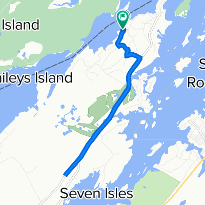
North Visitors Center to Seaway Ave, Alexandria Bay
Itinéraire à vélo à Alexandria Bay, New York, États Unis
- 2,8 km
- Distance
- 3 m
- Montée
- 11 m
- Descente

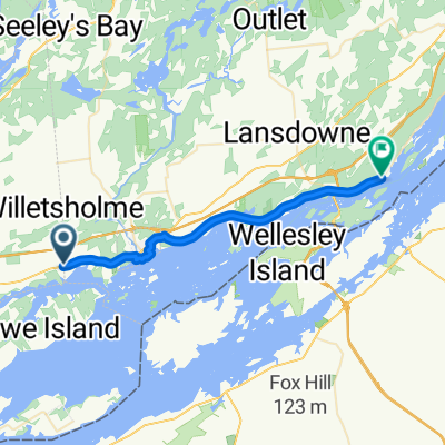
rockport
Itinéraire à vélo à Alexandria Bay, New York, États Unis
- 20,1 km
- Distance
- 106 m
- Montée
- 106 m
- Descente
Découvrez plus d'itinéraires
 Dag2Newcastle
- Distance
- 251,3 km
- Montée
- 316 m
- Descente
- 304 m
- Emplacement
- Alexandria Bay, New York, États Unis
 Alex Bay-Ogden
- Distance
- 52,6 km
- Montée
- 163 m
- Descente
- 156 m
- Emplacement
- Alexandria Bay, New York, États Unis
 ivy lea road
- Distance
- 2,2 km
- Montée
- 13 m
- Descente
- 17 m
- Emplacement
- Alexandria Bay, New York, États Unis
 Quick Afternoon Ride In Leeds And The Thousand Islands
- Distance
- 0,7 km
- Montée
- 0 m
- Descente
- 9 m
- Emplacement
- Alexandria Bay, New York, États Unis
 Waterfront Trail: Alexandria Bay to Gananoque
- Distance
- 27,1 km
- Montée
- 146 m
- Descente
- 138 m
- Emplacement
- Alexandria Bay, New York, États Unis
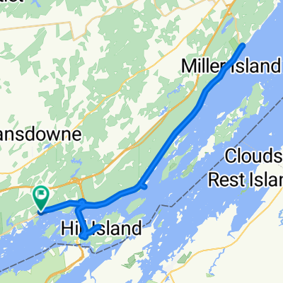 Miles Îles - Ivy bay a Mailorytown
- Distance
- 41,8 km
- Montée
- 317 m
- Descente
- 315 m
- Emplacement
- Alexandria Bay, New York, États Unis
 Healy's
- Distance
- 3,4 km
- Montée
- 35 m
- Descente
- 33 m
- Emplacement
- Alexandria Bay, New York, États Unis
 1sr river ride
- Distance
- 7,9 km
- Montée
- 52 m
- Descente
- 59 m
- Emplacement
- Alexandria Bay, New York, États Unis