Mifflinburg à vélo
Découvre une carte de 19 itinéraires et pistes cyclables près de Mifflinburg, créés par notre communauté.
Portrait de région
Fais connaissance avec Mifflinburg
Trouve l’itinéraire à vélo qui te convient à Mifflinburg, où nous avons 19 pistes cyclables à explorer.
922 km
Distance enregistrée
19
Itinéraires cyclables
3 540
Population
De notre communauté
Les meilleurs itinéraires à vélo dans et autour de Mifflinburg
Sand Bridge Loop
Itinéraire à vélo à Mifflinburg, Pennsylvanie, États Unis
- 33,8 km
- Distance
- 644 m
- Montée
- 523 m
- Descente
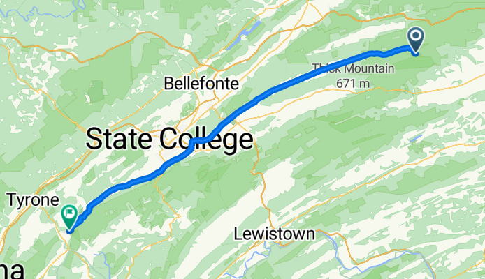
Buffalo Rd to Spruce Creek
Itinéraire à vélo à Mifflinburg, Pennsylvanie, États Unis
- 96,9 km
- Distance
- 238 m
- Montée
- 443 m
- Descente
07083017
Itinéraire à vélo à Mifflinburg, Pennsylvanie, États Unis
- 20,3 km
- Distance
- 34 m
- Montée
- 34 m
- Descente
Jacks and Shade from New Berlin
Itinéraire à vélo à Mifflinburg, Pennsylvanie, États Unis
- 100,5 km
- Distance
- 1 006 m
- Montée
- 1 009 m
- Descente
Découvrez plus d'itinéraires
 80 mile extension - Glenn Iron back to MS
- Distance
- 127,9 km
- Montée
- 616 m
- Descente
- 666 m
- Emplacement
- Mifflinburg, Pennsylvanie, États Unis
 Mountain ride
- Distance
- 20 km
- Montée
- 383 m
- Descente
- 383 m
- Emplacement
- Mifflinburg, Pennsylvanie, États Unis
 McCall Fiield and Black Gap
- Distance
- 17,6 km
- Montée
- 283 m
- Descente
- 283 m
- Emplacement
- Mifflinburg, Pennsylvanie, États Unis
 38 miles from New Berlin
- Distance
- 61 km
- Montée
- 386 m
- Descente
- 380 m
- Emplacement
- Mifflinburg, Pennsylvanie, États Unis
 100–498 Rothermel Ln, Mifflinburg to 4716 Old Turnpike Rd, Lewisburg
- Distance
- 7,5 km
- Montée
- 45 m
- Descente
- 55 m
- Emplacement
- Mifflinburg, Pennsylvanie, États Unis
 6685 Pleasant Grove Rd, Mifflinburg to 6685 Pleasant Grove Rd, Mifflinburg
- Distance
- 11 km
- Montée
- 113 m
- Descente
- 104 m
- Emplacement
- Mifflinburg, Pennsylvanie, États Unis
 Day Seventeen Second Half
- Distance
- 107,5 km
- Montée
- 663 m
- Descente
- 405 m
- Emplacement
- Mifflinburg, Pennsylvanie, États Unis
 North 10th Street 14, Mifflinburg to North 10th Street 13, Mifflinburg
- Distance
- 13,5 km
- Montée
- 72 m
- Descente
- 75 m
- Emplacement
- Mifflinburg, Pennsylvanie, États Unis


