Pawtucket à vélo
Découvre une carte de 76 itinéraires et pistes cyclables près de Pawtucket, créés par notre communauté.
Portrait de région
Fais connaissance avec Pawtucket
Trouve l’itinéraire à vélo qui te convient à Pawtucket, où nous avons 76 pistes cyclables à explorer. La plupart des gens enfourchent leur vélo pour rouler ici aux mois de août et septembre.
1 901 km
Distance enregistrée
76
Itinéraires cyclables
71 148
Population
Communauté
Utilisateurs les plus actifs à Pawtucket
De notre communauté
Les meilleurs itinéraires à vélo dans et autour de Pawtucket
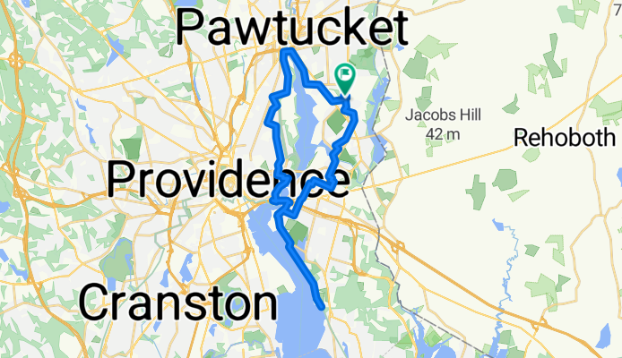
Fern Drive to Fern Drive
Itinéraire à vélo à Pawtucket, Rhode Island, États Unis
- 34 km
- Distance
- 157 m
- Montée
- 147 m
- Descente
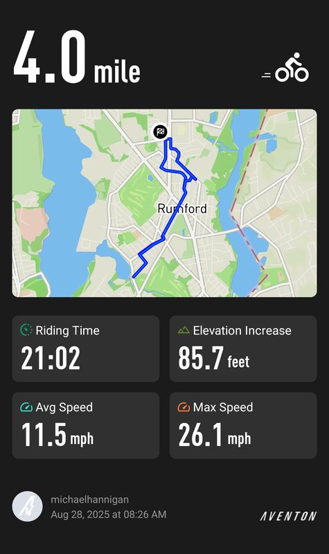
Pine Grove Street to Pine Grove Street
Itinéraire à vélo à Pawtucket, Rhode Island, États Unis
- 7,4 km
- Distance
- 15 m
- Montée
- 22 m
- Descente
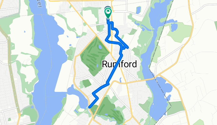
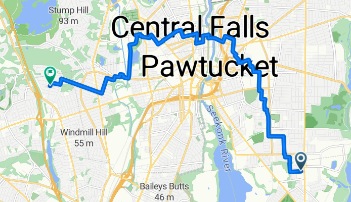
From Rumford to North Providence
Itinéraire à vélo à Pawtucket, Rhode Island, États Unis
- 12,3 km
- Distance
- 64 m
- Montée
- 44 m
- Descente
Seekonk-Rehoboth-Attleboro Loop
Itinéraire à vélo à Pawtucket, Rhode Island, États Unis
- 62,7 km
- Distance
- 154 m
- Montée
- 134 m
- Descente
Découvrez plus d'itinéraires
 Three Hills - Pawt, NP, Johnston, Cranston, PVD
- Distance
- 57 km
- Montée
- 290 m
- Descente
- 290 m
- Emplacement
- Pawtucket, Rhode Island, États Unis
 Four Hills
- Distance
- 61,8 km
- Montée
- 354 m
- Descente
- 354 m
- Emplacement
- Pawtucket, Rhode Island, États Unis
 Pawt-No Seekonk-Rehoboth-Attleboro-Cumb-CF
- Distance
- 34,9 km
- Montée
- 77 m
- Descente
- 69 m
- Emplacement
- Pawtucket, Rhode Island, États Unis
 Woonsocket Commute
- Distance
- 22,4 km
- Montée
- 129 m
- Descente
- 109 m
- Emplacement
- Pawtucket, Rhode Island, États Unis
 Pawt to Sustainability Festival
- Distance
- 44,8 km
- Montée
- 177 m
- Descente
- 128 m
- Emplacement
- Pawtucket, Rhode Island, États Unis
 New Western Route - Wrong Turn
- Distance
- 36,1 km
- Montée
- 191 m
- Descente
- 191 m
- Emplacement
- Pawtucket, Rhode Island, États Unis
 Pawtucket to Hyannis Port
- Distance
- 123 km
- Montée
- 161 m
- Descente
- 194 m
- Emplacement
- Pawtucket, Rhode Island, États Unis
 31 Sheffield Ave, Pawtucket to 1 Burlingame State Park Rd, Charlestown
- Distance
- 70,2 km
- Montée
- 879 m
- Descente
- 884 m
- Emplacement
- Pawtucket, Rhode Island, États Unis


