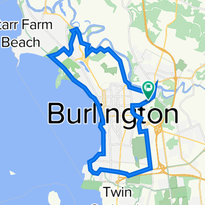
flat loop around colchester
- 21,3 km
- 158 m
- 152 m
- Winooski, Vermont, États Unis

Découvre une carte de 40 itinéraires et pistes cyclables près de Winooski, créés par notre communauté.
Portrait de région
Trouve l’itinéraire à vélo qui te convient à Winooski, où nous avons 40 pistes cyclables à explorer. La plupart des gens enfourchent leur vélo pour rouler ici au mois de mars.
1 031 km
Distance enregistrée
40
Itinéraires cyclables
7 267
Population
Communauté
De notre communauté
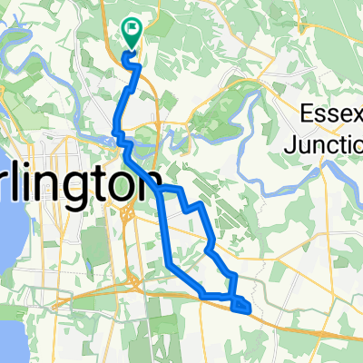
Itinéraire à vélo à Winooski, Vermont, États Unis

Itinéraire à vélo à Winooski, Vermont, États Unis
Itinéraire à vélo à Winooski, Vermont, États Unis
Itinéraire à vélo à Winooski, Vermont, États Unis