
Mission Canyon à vélo
Découvre une carte de 134 itinéraires et pistes cyclables près de Mission Canyon, créés par notre communauté.
Portrait de région
Fais connaissance avec Mission Canyon
Trouve l’itinéraire à vélo qui te convient à Mission Canyon, où nous avons 134 pistes cyclables à explorer. La plupart des gens enfourchent leur vélo pour rouler ici aux mois de mai et août.
4 257 km
Distance enregistrée
134
Itinéraires cyclables
2 381
Population
Communauté
Utilisateurs les plus actifs à Mission Canyon


De notre communauté
Les meilleurs itinéraires à vélo dans et autour de Mission Canyon

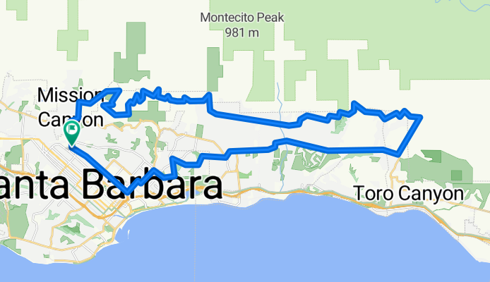
Santa Barbara Thirty
Itinéraire à vélo à Mission Canyon, Californie, États Unis
- 48,5 km
- Distance
- 423 m
- Montée
- 423 m
- Descente

La Cumbre
Itinéraire à vélo à Mission Canyon, Californie, États Unis
- 49,5 km
- Distance
- 1 311 m
- Montée
- 1 313 m
- Descente
Santa Barbara / Montecito foothills loop CLONED FROM ROUTE 552049
Itinéraire à vélo à Mission Canyon, Californie, États Unis
- 42,4 km
- Distance
- 715 m
- Montée
- 715 m
- Descente

Santa Barbara Ridge Route
Itinéraire à vélo à Mission Canyon, Californie, États Unis
- 46,7 km
- Distance
- 1 325 m
- Montée
- 1 317 m
- Descente
Découvrez plus d'itinéraires
 Elings Park Loop
- Distance
- 16,6 km
- Montée
- 218 m
- Descente
- 219 m
- Emplacement
- Mission Canyon, Californie, États Unis
 Josh's Route from Home to UCSB
- Distance
- 8,6 km
- Montée
- 31 m
- Descente
- 54 m
- Emplacement
- Mission Canyon, Californie, États Unis
 4100–4136 Lago Dr, Santa Barbara to 2201 Laguna St, Santa Barbara
- Distance
- 7 km
- Montée
- 97 m
- Descente
- 55 m
- Emplacement
- Mission Canyon, Californie, États Unis
 Gibraltar
- Distance
- 8,6 km
- Montée
- 86 m
- Descente
- 524 m
- Emplacement
- Mission Canyon, Californie, États Unis
 DISSCH Santa Barbara - Las Vegas
- Distance
- 567,8 km
- Montée
- 2 681 m
- Descente
- 2 083 m
- Emplacement
- Mission Canyon, Californie, États Unis
 Santa Barbara Big 32 miles
- Distance
- 52,2 km
- Montée
- 694 m
- Descente
- 700 m
- Emplacement
- Mission Canyon, Californie, États Unis
 Home to Gym
- Distance
- 2,2 km
- Montée
- 9 m
- Descente
- 12 m
- Emplacement
- Mission Canyon, Californie, États Unis
 5/28/23 late afternoon bikey
- Distance
- 20,8 km
- Montée
- 199 m
- Descente
- 190 m
- Emplacement
- Mission Canyon, Californie, États Unis