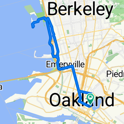
À quoi pourrait ressembler le cyclisme à Oakland.

Oakland à vélo

Découvre une carte de 524 itinéraires et pistes cyclables près de Oakland, créés par notre communauté.

Portrait de région

Fais connaissance avec Oakland

Trouve l’itinéraire à vélo qui te convient à Oakland, où nous avons 524 pistes cyclables à explorer. La plupart des gens enfourchent leur vélo pour rouler ici aux mois de mai et septembre.

15 552 km

Distance enregistrée

524

Itinéraires cyclables

390 724

Population

Communauté

Utilisateurs les plus actifs à Oakland

De notre communauté

Les meilleurs itinéraires à vélo dans et autour de Oakland

4

OYJ - San Ramon

Itinéraire à vélo à Oakland, California, United States of America

Climb Spruce and ramble through Wildcat Canyon in the Berkeley Hills, paying a visit to Inspiration Point. The ride then cuts through Lafayette and Rossmoor on the way to San Ramon. A long, paceline-friendly stretch on Danville Blvd is a nice prelude to the only other significant climb of the day, the scenic Norris Canyon. After riding through Castro Valley, the ride heads back to Oakland via Bancroft Ave.
94,8 km
Distance
1 115 m
Montée
1 108 m
Descente
6

Zella

Itinéraire à vélo à Oakland, California, United States of America

20,3 km
Distance
18 m
Montée
20 m
Descente
West Oakland to Seabreeze Market
Vélo de villeRevêtu
Dale McCrossen
9

West Oakland to Seabreeze Market

Itinéraire à vélo à Oakland, California, United States of America

8,9 km
Distance
17 m
Montée
28 m
Descente
6

Magnolia to YBI

Itinéraire à vélo à Oakland, California, United States of America

9,8 km
Distance
66 m
Montée
17 m
Descente

Découvrez plus d'itinéraires