Day 3
- 92,8 km
- 326 m
- 118 m
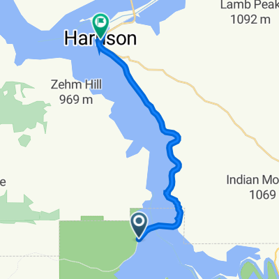
- Plummer, Idaho, États Unis

Trouve l’itinéraire à vélo qui te convient à Plummer, où nous avons 55 pistes cyclables à explorer. La plupart des gens enfourchent leur vélo pour rouler ici au mois de juin.
Distance enregistrée
Itinéraires cyclables
Population
Itinéraire à vélo à Plummer, Idaho, États Unis
Itinéraire à vélo à Plummer, Idaho, États Unis
Itinéraire à vélo à Plummer, Idaho, États Unis