West Linn à vélo
Découvre une carte de 25 itinéraires et pistes cyclables près de West Linn, créés par notre communauté.
Portrait de région
Fais connaissance avec West Linn
Trouve l’itinéraire à vélo qui te convient à West Linn, où nous avons 25 pistes cyclables à explorer.
581 km
Distance enregistrée
25
Itinéraires cyclables
25 109
Population
Communauté
Utilisateurs les plus actifs à West Linn
De notre communauté
Les meilleurs itinéraires à vélo dans et autour de West Linn
Home to Work (Wisteria-Johnson-Stafford-43)
Itinéraire à vélo à West Linn, Oregon, États Unis
- 13,8 km
- Distance
- 171 m
- Montée
- 316 m
- Descente
From Home to PDX and Back
Itinéraire à vélo à West Linn, Oregon, États Unis
- 64,4 km
- Distance
- 756 m
- Montée
- 845 m
- Descente
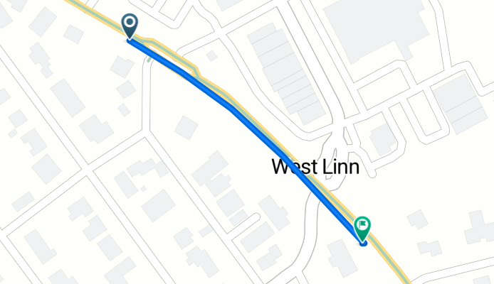
21901–22025 Willamette Dr, West Linn to 5499 Amy St, West Linn
Itinéraire à vélo à West Linn, Oregon, États Unis
- 0,2 km
- Distance
- 0 m
- Montée
- 3 m
- Descente
Découvrez plus d'itinéraires
 To water front
- Distance
- 23 km
- Montée
- 243 m
- Descente
- 298 m
- Emplacement
- West Linn, Oregon, États Unis
 1180 Rosemont Rd, West Linn to 16649–16899 SW Wilsonville Rd, Wilsonville
- Distance
- 28,4 km
- Montée
- 386 m
- Descente
- 554 m
- Emplacement
- West Linn, Oregon, États Unis
 2810 Jolie Pointe Rd, West Linn to 14100 NW Science Park Dr, Portland
- Distance
- 28,8 km
- Montée
- 427 m
- Descente
- 421 m
- Emplacement
- West Linn, Oregon, États Unis
 bike tour from West Linn to Portland
- Distance
- 26,8 km
- Montée
- 455 m
- Descente
- 426 m
- Emplacement
- West Linn, Oregon, États Unis
 Home to Work (Barrington Detour to Climb Sunset)
- Distance
- 14,2 km
- Montée
- 159 m
- Descente
- 294 m
- Emplacement
- West Linn, Oregon, États Unis
 5290 W A St, West Linn to 426 SW Main St, Portland
- Distance
- 32,6 km
- Montée
- 241 m
- Descente
- 315 m
- Emplacement
- West Linn, Oregon, États Unis
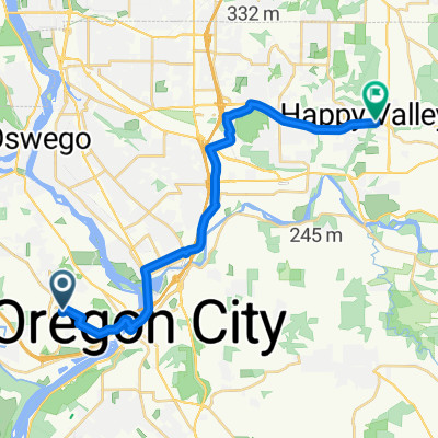
 Home to Happy Valley
- Distance
- 20,5 km
- Montée
- 168 m
- Descente
- 247 m
- Emplacement
- West Linn, Oregon, États Unis
 to Milwaukie
- Distance
- 16,1 km
- Montée
- 102 m
- Descente
- 304 m
- Emplacement
- West Linn, Oregon, États Unis


