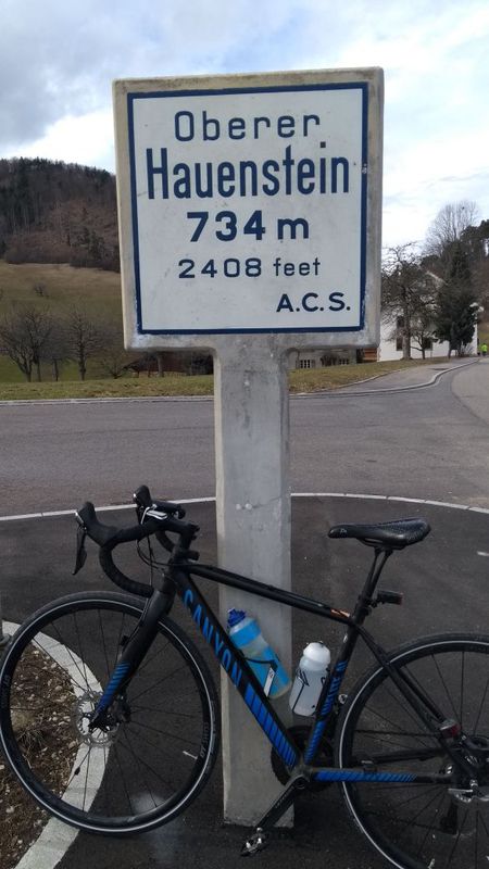
Langendorf à vélo
Découvre une carte de 336 itinéraires et pistes cyclables près de Langendorf, créés par notre communauté.
Portrait de région
Fais connaissance avec Langendorf
Trouve l’itinéraire à vélo qui te convient à Langendorf, où nous avons 336 pistes cyclables à explorer. La plupart des gens enfourchent leur vélo pour rouler ici aux mois de mai et juillet.
22 647 km
Distance enregistrée
336
Itinéraires cyclables
3 518
Population
Communauté
Utilisateurs les plus actifs à Langendorf
De notre communauté
Les meilleurs itinéraires à vélo dans et autour de Langendorf
Römerstrasse, Bellach nach Römerstrasse, Bellach
Itinéraire à vélo à Langendorf, Canton de Soleure, Suisse
- 59 km
- Distance
- 953 m
- Montée
- 951 m
- Descente
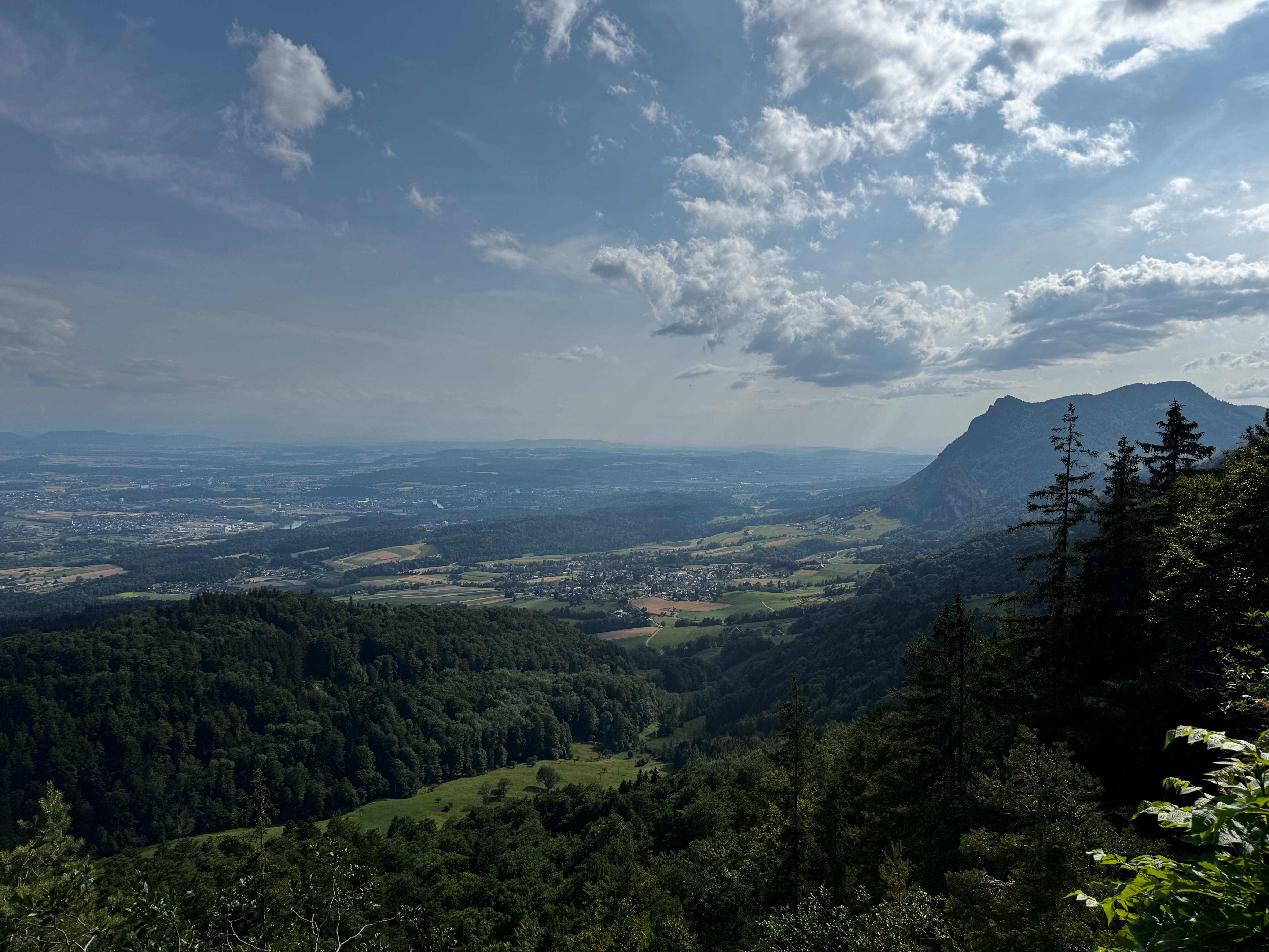
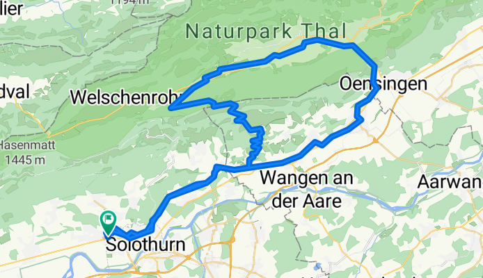
Sonntagsabendtour zur Schauenburg
Itinéraire à vélo à Langendorf, Canton de Soleure, Suisse
- 24 km
- Distance
- 846 m
- Montée
- 846 m
- Descente
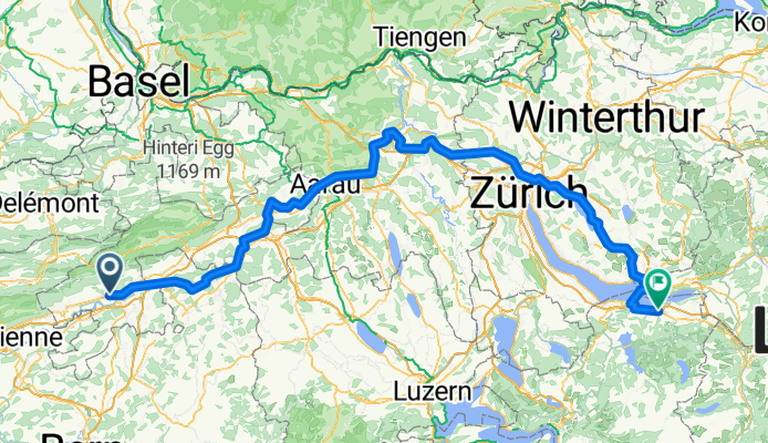
Langendorf SO - Brugg + Brugg - Uster / Nossikon
Itinéraire à vélo à Langendorf, Canton de Soleure, Suisse
- 167,2 km
- Distance
- 1 368 m
- Montée
- 1 399 m
- Descente
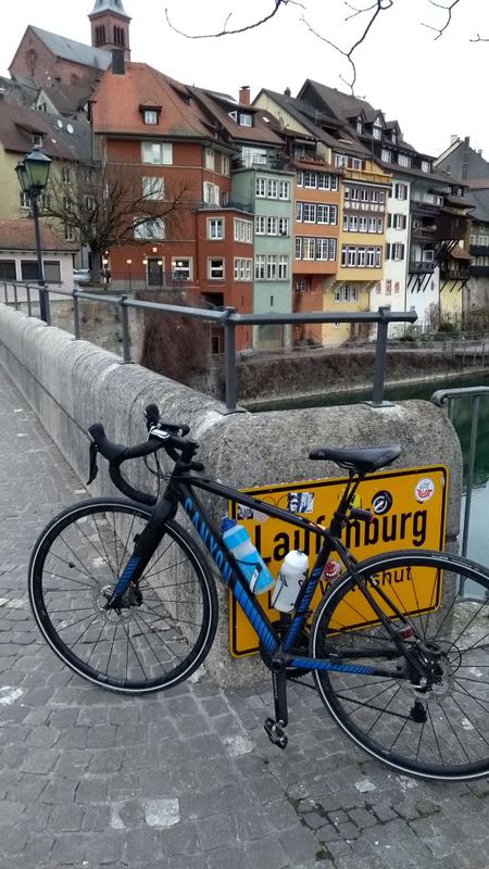
Laufenburg
Itinéraire à vélo à Langendorf, Canton de Soleure, Suisse
- 86,2 km
- Distance
- 471 m
- Montée
- 601 m
- Descente
Découvrez plus d'itinéraires
 Weissensteinstrasse 187, Oberdorf nach Weissensteinstrasse 187, Oberdorf
- Distance
- 60,5 km
- Montée
- 1 195 m
- Descente
- 1 364 m
- Emplacement
- Langendorf, Canton de Soleure, Suisse
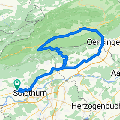 Bellach - Balmberg - Balstahl - Bellach
- Distance
- 58 km
- Montée
- 1 085 m
- Descente
- 1 082 m
- Emplacement
- Langendorf, Canton de Soleure, Suisse
 De Weissensteinstrasse 26, Langendorf à Weissensteinstrasse 26, Langendorf
- Distance
- 59,9 km
- Montée
- 2 231 m
- Descente
- 2 722 m
- Emplacement
- Langendorf, Canton de Soleure, Suisse
 Bellach / Weissenstein / Balmberg / Solothurn / Bellach
- Distance
- 28,8 km
- Montée
- 1 087 m
- Descente
- 1 090 m
- Emplacement
- Langendorf, Canton de Soleure, Suisse
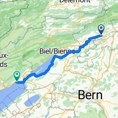 Solothurn Neuenburg, 4 Etappe Neuenburgtour
- Distance
- 57,8 km
- Montée
- 318 m
- Descente
- 332 m
- Emplacement
- Langendorf, Canton de Soleure, Suisse
 Slowup Buechibärg
- Distance
- 48,7 km
- Montée
- 315 m
- Descente
- 324 m
- Emplacement
- Langendorf, Canton de Soleure, Suisse
 Buechmatt
- Distance
- 45,7 km
- Montée
- 1 038 m
- Descente
- 1 038 m
- Emplacement
- Langendorf, Canton de Soleure, Suisse
 solothurn - Flumenthal - Gerlafingen
- Distance
- 15,5 km
- Montée
- 133 m
- Descente
- 172 m
- Emplacement
- Langendorf, Canton de Soleure, Suisse
Itinéraires vers Langendorf
À vélo de
Soleure à Langendorf

