


Пшк 2012-08-18 Микулич-Космач 40км
- 39,8 km
- 1 067 m
- 1 040 m
- Tatariv, Oblast d'Ivano-Frankivsk, Ukraine

Découvre une carte de 76 itinéraires et pistes cyclables près de Tatariv, créés par notre communauté.
Portrait de région
Trouve l’itinéraire à vélo qui te convient à Tatariv, où nous avons 76 pistes cyclables à explorer. La plupart des gens enfourchent leur vélo pour rouler ici aux mois de juin et août.
3 419 km
Distance enregistrée
76
Itinéraires cyclables
1 508
Population
De notre communauté
Itinéraire à vélo à Tatariv, Oblast d'Ivano-Frankivsk, Ukraine
Itinéraire à vélo à Tatariv, Oblast d'Ivano-Frankivsk, Ukraine
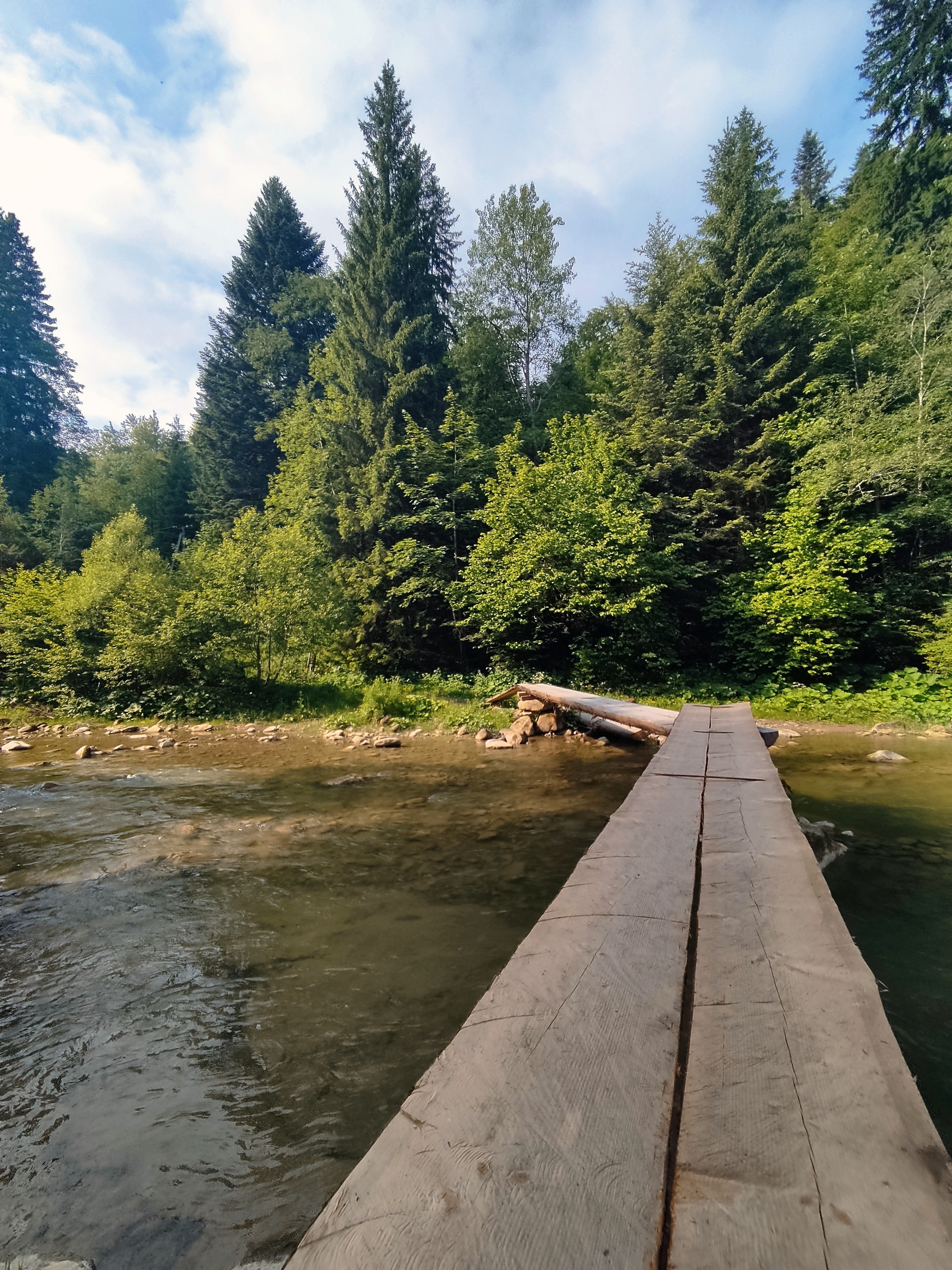
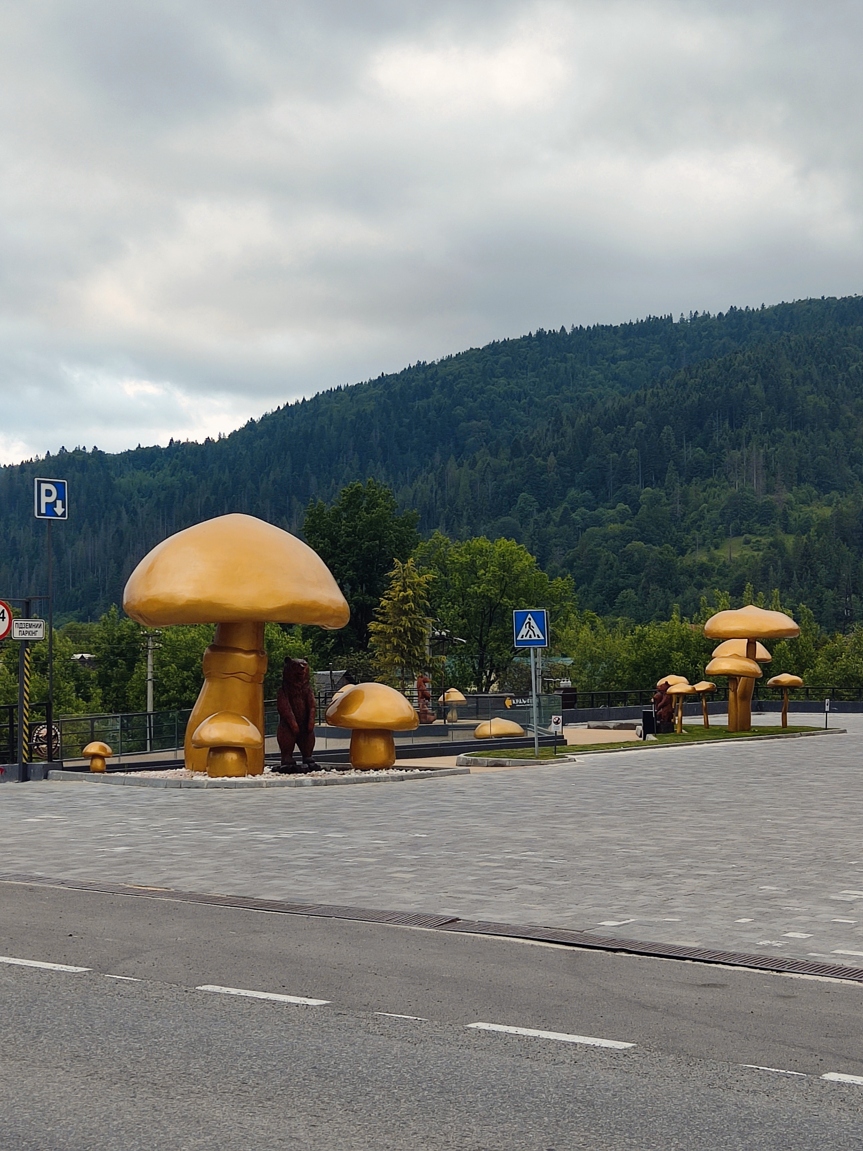
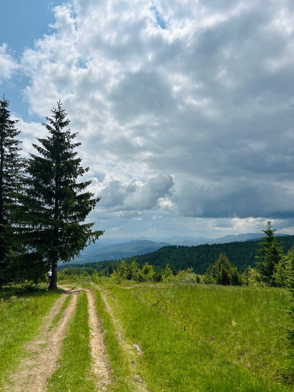
Itinéraire à vélo à Tatariv, Oblast d'Ivano-Frankivsk, Ukraine


Itinéraire à vélo à Tatariv, Oblast d'Ivano-Frankivsk, Ukraine


