
Ballarat Central à vélo
Découvre une carte de 23 itinéraires et pistes cyclables près de Ballarat Central, créés par notre communauté.
Portrait de région
Fais connaissance avec Ballarat Central
Trouve l’itinéraire à vélo qui te convient à Ballarat Central, où nous avons 23 pistes cyclables à explorer.
1 697 km
Distance enregistrée
23
Itinéraires cyclables
5 645
Population


De notre communauté
Les meilleurs itinéraires à vélo dans et autour de Ballarat Central

Ballarat City circuit for windy weather
Itinéraire à vélo à Ballarat Central, Victoria, Australie
- 50,4 km
- Distance
- 232 m
- Montée
- 222 m
- Descente

e-MTB Adventure Ride. Ballarat, Creswick.
Itinéraire à vélo à Ballarat Central, Victoria, Australie
- 29,2 km
- Distance
- 332 m
- Montée
- 331 m
- Descente

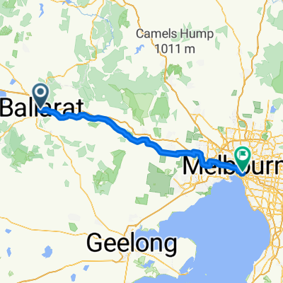
e-MTB Adventure Ride. Ballarat to Melbourne
Itinéraire à vélo à Ballarat Central, Victoria, Australie
- 135,3 km
- Distance
- 467 m
- Montée
- 871 m
- Descente

Ballarat to Bacchus Marsh
Itinéraire à vélo à Ballarat Central, Victoria, Australie
- 69,7 km
- Distance
- 452 m
- Montée
- 778 m
- Descente
Découvrez plus d'itinéraires
![[Herald Sun Tour 2009 - Etapa 00] Ballarat](https://media.bikemap.net/routes/327032/staticmaps/in_02180b6f-925d-4083-b153-b186a50069ea_400x400_bikemap-2021-3D-static.png) [Herald Sun Tour 2009 - Etapa 00] Ballarat
[Herald Sun Tour 2009 - Etapa 00] Ballarat- Distance
- 2,3 km
- Montée
- 19 m
- Descente
- 22 m
- Emplacement
- Ballarat Central, Victoria, Australie
 Stay close to Ballarat - including Buninyong
- Distance
- 70,6 km
- Montée
- 580 m
- Descente
- 580 m
- Emplacement
- Ballarat Central, Victoria, Australie
 Ballarat To Lara Bikepacking
- Distance
- 103,6 km
- Montée
- 606 m
- Descente
- 1 026 m
- Emplacement
- Ballarat Central, Victoria, Australie
 Tour Down Under Stage 3 mock course
- Distance
- 146,5 km
- Montée
- 672 m
- Descente
- 516 m
- Emplacement
- Ballarat Central, Victoria, Australie
 Ballarat - Windermere Hotel
- Distance
- 34,9 km
- Montée
- 699 m
- Descente
- 708 m
- Emplacement
- Ballarat Central, Victoria, Australie
 FHB Ballarat to Southern Cross Station, leg 6
- Distance
- 135,8 km
- Montée
- 483 m
- Descente
- 898 m
- Emplacement
- Ballarat Central, Victoria, Australie
 Ballarat to Melbourne
- Distance
- 124,8 km
- Montée
- 268 m
- Descente
- 683 m
- Emplacement
- Ballarat Central, Victoria, Australie
 Ballarat - Maryborough Trail
- Distance
- 92,4 km
- Montée
- 375 m
- Descente
- 569 m
- Emplacement
- Ballarat Central, Victoria, Australie