Mae On à vélo
Découvre une carte de 10 itinéraires et pistes cyclables près de Mae On, créés par notre communauté.
Portrait de région
Fais connaissance avec Mae On
Trouve l’itinéraire à vélo qui te convient à Mae On, où nous avons 10 pistes cyclables à explorer.
228 km
Distance enregistrée
10
Itinéraires cyclables
Communauté
Utilisateurs les plus actifs à Mae On
De notre communauté
Les meilleurs itinéraires à vélo dans et autour de Mae On
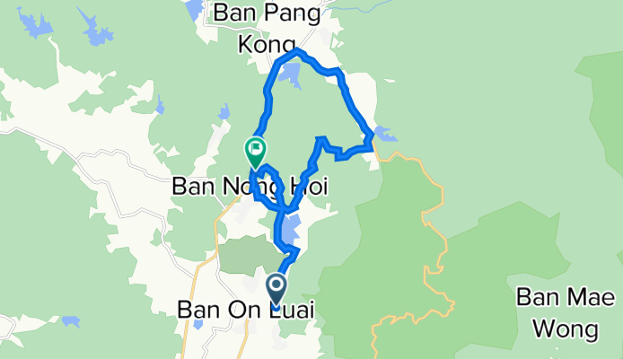
Ma On Mountain Loop
Itinéraire à vélo à Mae On, Chiang Mai, Thaïlande
- 17,4 km
- Distance
- 400 m
- Montée
- 377 m
- Descente
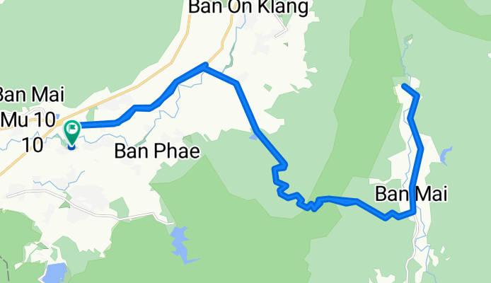
Chiangmai 1230 Climb
Itinéraire à vélo à Mae On, Chiang Mai, Thaïlande
- 40,1 km
- Distance
- 715 m
- Montée
- 717 m
- Descente
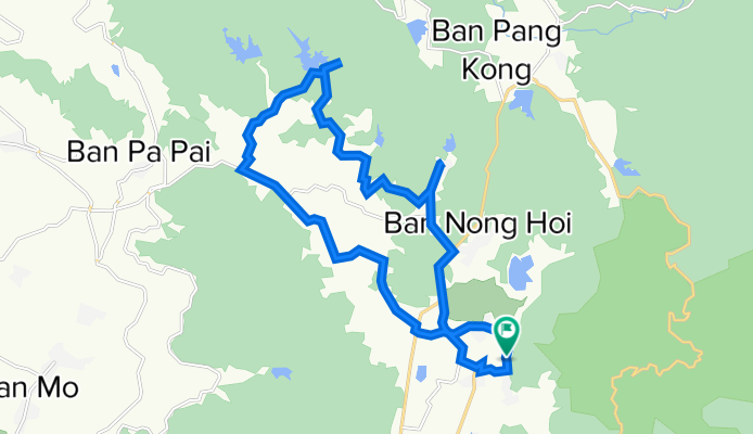
Huai Hong Krai Loop
Itinéraire à vélo à Mae On, Chiang Mai, Thaïlande
- 28,1 km
- Distance
- 272 m
- Montée
- 269 m
- Descente
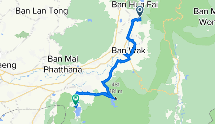
On Nuea, Mae On to On Tai, San Kamphaeng
Itinéraire à vélo à Mae On, Chiang Mai, Thaïlande
- 20,8 km
- Distance
- 557 m
- Montée
- 591 m
- Descente
Découvrez plus d'itinéraires
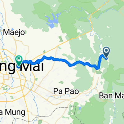 บ้านสหกรณ์ to Home
- Distance
- 40,1 km
- Montée
- 281 m
- Descente
- 526 m
- Emplacement
- Mae On, Chiang Mai, Thaïlande
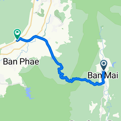 บ้านแม่ตะไคร้ to บ้านสหกรณ์หก
- Distance
- 13,6 km
- Montée
- 315 m
- Descente
- 489 m
- Emplacement
- Mae On, Chiang Mai, Thaïlande
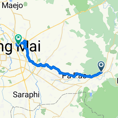 1317, Tambon Ban Sa Ha Khon nach Soi Mu Ban Kluai Mai 198, Tambon San Sai Noi
- Distance
- 33,9 km
- Montée
- 160 m
- Descente
- 234 m
- Emplacement
- Mae On, Chiang Mai, Thaïlande
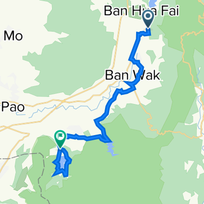 On Neua Loop
- Distance
- 23,1 km
- Montée
- 171 m
- Descente
- 214 m
- Emplacement
- Mae On, Chiang Mai, Thaïlande
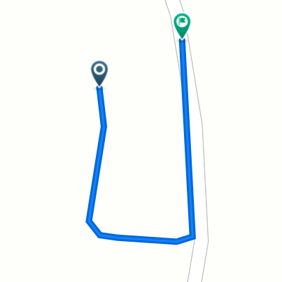 On Nuea, Mae On to On Nuea, Mae On
- Distance
- 0,1 km
- Montée
- 0 m
- Descente
- 0 m
- Emplacement
- Mae On, Chiang Mai, Thaïlande
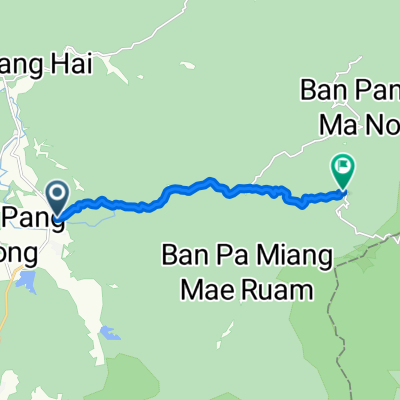 Thailand, ตำบล ห้วยแก้ว to Tambon Huai Kaeo
- Distance
- 10,1 km
- Montée
- 595 m
- Descente
- 111 m
- Emplacement
- Mae On, Chiang Mai, Thaïlande


