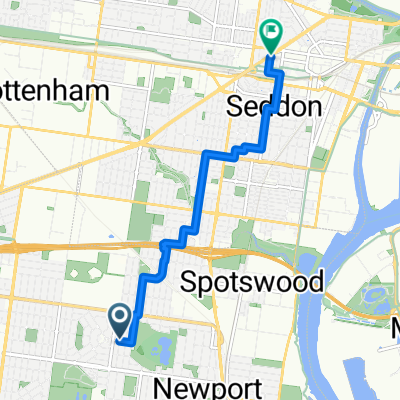
À quoi pourrait ressembler le cyclisme à South Kingsville.

South Kingsville à vélo

Découvre une carte de 136 itinéraires et pistes cyclables près de South Kingsville, créés par notre communauté.

Portrait de région

Fais connaissance avec South Kingsville

Trouve l’itinéraire à vélo qui te convient à South Kingsville, où nous avons 136 pistes cyclables à explorer. La plupart des gens enfourchent leur vélo pour rouler ici aux mois de janvier et mars.

1 602 km

Distance enregistrée

136

Itinéraires cyclables

1 830

Population

Communauté

Utilisateurs les plus actifs à South Kingsville

De notre communauté

Les meilleurs itinéraires à vélo dans et autour de South Kingsville

South Kingsville, Mt. Macedon, South Kingsville.
VTTRevêtuNon revêtuGravier
25Clicks
0

South Kingsville, Mt. Macedon, South Kingsville.

Itinéraire à vélo à South Kingsville, Victoria, Australia

General tips and comment. I ride my e-MTB (Bosch Performance Line CX) with 2 500Wh batteries. The range of some of the rides will require 2 500Wh batteries. If you ride an e-MTB understand the battery range you can get from your e-bike for any given terrain and that you have the capabilities to complete the ride. All my posted routes been ridden and GPS recorded. If you make use of any of this information in the route/track, in whole or in part, you need to consider the following: Ride at your own risk. No responsibility is accepted for any inaccuracies or for any mishap or injury that may arise out of the use of any GPS/GPX track or route or any other data or information that may be contained in any route postings. Tracks, road conditions and water course crossings can change overnight for any number of reasons (weather, landslides, trail closures, flooding, roadworks) making previously good tracks impassable, dangerous and be closed off at any time. Expect the need to detour at any time. Have a ‘Plan B’ and be prepared for any eventuality. Information provided about each route is the point in time the route was ridden. The difficulty rating may be very different to what constitutes an Intermediate, Experienced or Advanced ride compared to you. Always ride within your capabilities. Treat any ride based on any information supplied with caution, expecting that conditions are likely to be different to what they were when the route was recorded. Expect steep ascents and descents, loose gravel, ruts, water courses, fallen trees and the need to walk the bike in some instances. Information provided containing GPS/GPX routes/tracks, are provided "as is" and it is your responsibility to evaluate the information and the suitability for your purposes. Check CFA Fire Danger Ratings before riding. Do not ride in any conditions with CFA Fire Danger Ratings Scale above: Low - Moderate. Always inform someone of your intended plans, departure and estimated arrival time. Have a backup ability to navigate and use navigation devices. A second GPS device or a mobile phone with true GPS capabilities that are not reliant on mobile phone tower reception to function. Install the GPX routes/track into all devices. Or carry a map and compass. Do not rely on having mobile phone reception available at any time. On all rides, it is a must that you are self sufficient with food, water and spare parts and have the ability to undertake bicycle repairs.  
178,9 km
Distance
1 445 m
Montée
1 445 m
Descente
Newport to RMIT
Vélo de villeRevêtu
1

Newport to RMIT

Itinéraire à vélo à South Kingsville, Victoria, Australia

To RMIT, nice bike paths  
11,8 km
Distance
110 m
Montée
91 m
Descente
Newport Footscray loop
Vélo de villeRevêtu
Pauline Qua
1

Newport Footscray loop

Itinéraire à vélo à South Kingsville, Victoria, Australia

16,1 km
Distance
20 m
Montée
46 m
Descente
0

Commute to school

Itinéraire à vélo à South Kingsville, Victoria, Australia

7,2 km
Distance
39 m
Montée
37 m
Descente

Découvrez plus d'itinéraires