
Croydon South à vélo
Découvre une carte de 109 itinéraires et pistes cyclables près de Croydon South, créés par notre communauté.
Portrait de région
Fais connaissance avec Croydon South
Trouve l’itinéraire à vélo qui te convient à Croydon South, où nous avons 109 pistes cyclables à explorer. La plupart des gens enfourchent leur vélo pour rouler ici aux mois de mai et août.
2 174 km
Distance enregistrée
109
Itinéraires cyclables
4 532
Population
Communauté
Utilisateurs les plus actifs à Croydon South


De notre communauté
Les meilleurs itinéraires à vélo dans et autour de Croydon South

Mark and Petes big adventure
Itinéraire à vélo à Croydon South, Victoria, Australie
- 70,5 km
- Distance
- 211 m
- Montée
- 221 m
- Descente

Eastern Fwy. Gardiners Ck. Canterbury Rd Loop
Itinéraire à vélo à Croydon South, Victoria, Australie
- 69,9 km
- Distance
- 351 m
- Montée
- 351 m
- Descente

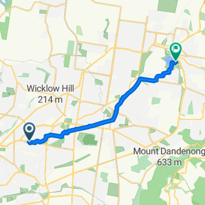
To Croydon Stn
Itinéraire à vélo à Croydon South, Victoria, Australie
- 3,3 km
- Distance
- 23 m
- Montée
- 11 m
- Descente

Eastfield Hill Loop
Itinéraire à vélo à Croydon South, Victoria, Australie
- 4,6 km
- Distance
- 79 m
- Montée
- 81 m
- Descente
Découvrez plus d'itinéraires
 Ringwood/Eastlink/Blind Creek Loop
- Distance
- 33 km
- Montée
- 151 m
- Descente
- 154 m
- Emplacement
- Croydon South, Victoria, Australie
 Commute from Croydon South to Mitre10
- Distance
- 32,2 km
- Montée
- 74 m
- Descente
- 135 m
- Emplacement
- Croydon South, Victoria, Australie
 Eastfield Rd, Ringwood East to Lilydale Lake Rd, Lilydale
- Distance
- 12,5 km
- Montée
- 134 m
- Descente
- 170 m
- Emplacement
- Croydon South, Victoria, Australie
 Ringwood East station
- Distance
- 2,4 km
- Montée
- 70 m
- Descente
- 34 m
- Emplacement
- Croydon South, Victoria, Australie
 Tarralla, Stud Rd. Blind Creek, Bayswater Loop
- Distance
- 21,3 km
- Montée
- 91 m
- Descente
- 92 m
- Emplacement
- Croydon South, Victoria, Australie
 First Ride Back
- Distance
- 2,2 km
- Montée
- 5 m
- Descente
- 17 m
- Emplacement
- Croydon South, Victoria, Australie
 Ride to Basin Cafe
- Distance
- 9,3 km
- Montée
- 79 m
- Descente
- 8 m
- Emplacement
- Croydon South, Victoria, Australie
 30km Loop via Boronia
- Distance
- 30,1 km
- Montée
- 110 m
- Descente
- 122 m
- Emplacement
- Croydon South, Victoria, Australie