
Modèle d’itinéraire
De Hsinchu à Taichung
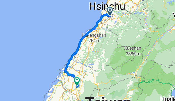
This is a great ride for anyone looking to explore the heart of western Taiwan! Starting from Hsinchu, the “Windy City,” you’ll make your way south toward bustling Taichung, famous for its vibrant food scene and creative parks. Along the 125 km journey, you’ll experience a pleasant mix of quiet roads and dedicated cycleways, making it a relaxing ride despite the distance.
Expect some hills—the route climbs a total of around 750 meters, with gorgeous countryside and rice paddies giving you plenty of excuses to take a breather and snap a few photos. The surface is mostly smooth asphalt or paved, so road bikes are perfect, and you’ll rarely find yourself on busy streets.
When you finish up in Taichung, reward yourself with a visit to Taichung Park or try the city’s iconic bubble tea. Whether you’re in it for the challenge or the scenery, this route offers a lovely slice of Taiwan’s western landscape. Don’t forget to pack some snacks and sun protection—this is a ride to savor!
Communauté
Meilleurs utilisateurs dans cette région
De notre communauté
Les meilleurs itinéraires à vélo de Hsinchu à Taichung
Part1 Day2 (4/4)新竹市~台中市
Itinéraire à vélo à Hsinchu, Taiwan, Taïwan
- 107,6 km
- Distance
- 399 m
- Montée
- 335 m
- Descente
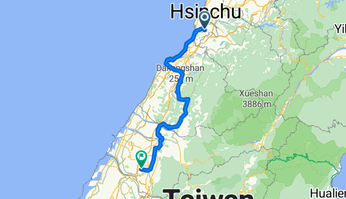
day04
Itinéraire à vélo à Hsinchu, Taiwan, Taïwan
- 98,9 km
- Distance
- 531 m
- Montée
- 422 m
- Descente
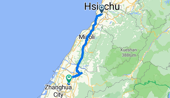
Day2:新竹→台中
Itinéraire à vélo à Hsinchu, Taiwan, Taïwan
- 112,4 km
- Distance
- 404 m
- Montée
- 355 m
- Descente
2017單車環島第一天-新竹~臺中
Itinéraire à vélo à Hsinchu, Taiwan, Taïwan
- 133,4 km
- Distance
- 744 m
- Montée
- 710 m
- Descente
Day 2 - Hsinchu to Taichung
Itinéraire à vélo à Hsinchu, Taiwan, Taïwan
- 87,8 km
- Distance
- 543 m
- Montée
- 488 m
- Descente
新竹-台中 台13
Itinéraire à vélo à Hsinchu, Taiwan, Taïwan
- 94,9 km
- Distance
- 582 m
- Montée
- 527 m
- Descente
2023/1/25 Day6
Itinéraire à vélo à Hsinchu, Taiwan, Taïwan
- 96,5 km
- Distance
- 643 m
- Montée
- 561 m
- Descente
Découvrez plus d'itinéraires
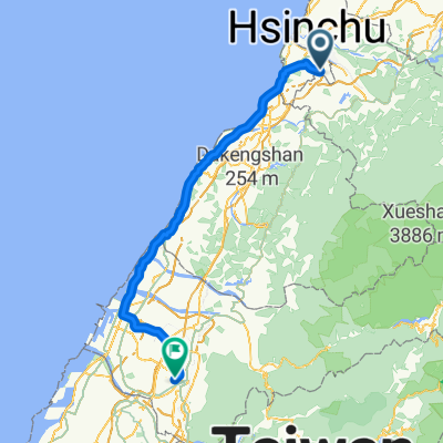 TWD1
TWD1- Distance
- 111,6 km
- Montée
- 321 m
- Descente
- 341 m
- Emplacement
- Hsinchu, Taiwan, Taïwan
 2010-0130-2
- Distance
- 87,2 km
- Montée
- 364 m
- Descente
- 306 m
- Emplacement
- Hsinchu, Taiwan, Taïwan
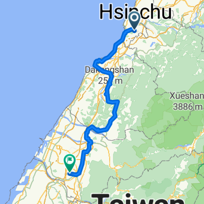 2017單車環島第一天-新竹~臺中
- Distance
- 133,4 km
- Montée
- 744 m
- Descente
- 710 m
- Emplacement
- Hsinchu, Taiwan, Taïwan
 Day 2 - Hsinchu to Taichung
- Distance
- 87,8 km
- Montée
- 543 m
- Descente
- 488 m
- Emplacement
- Hsinchu, Taiwan, Taïwan
 台灣環島:7. 新竹 - 台中
- Distance
- 127,2 km
- Montée
- 393 m
- Descente
- 348 m
- Emplacement
- Hsinchu, Taiwan, Taïwan
 Plan A D2
- Distance
- 95,9 km
- Montée
- 682 m
- Descente
- 610 m
- Emplacement
- Hsinchu, Taiwan, Taïwan
 新竹-台中 台13
- Distance
- 94,9 km
- Montée
- 582 m
- Descente
- 527 m
- Emplacement
- Hsinchu, Taiwan, Taïwan
 2023/1/25 Day6
- Distance
- 96,5 km
- Montée
- 643 m
- Descente
- 561 m
- Emplacement
- Hsinchu, Taiwan, Taïwan
Itinéraires depuis Hsinchu
Bikepacking de
Hsinchu à Yilan
Excursion à vélo d’une journée de
Hsinchu à Fengyuan
Excursion à vélo d’une journée de
Hsinchu à Banqiao
À vélo de
Hsinchu à Zhubei
Itinéraires vers Taichung
Bikepacking de
Taipei à Taichung
Bikepacking de
Banqiao à Taichung
Excursion à vélo d’une journée de
Chiayi City à Taichung
Excursion à vélo d’une journée de
Puli à Taichung
À vélo de
Fengyuan à Taichung


