
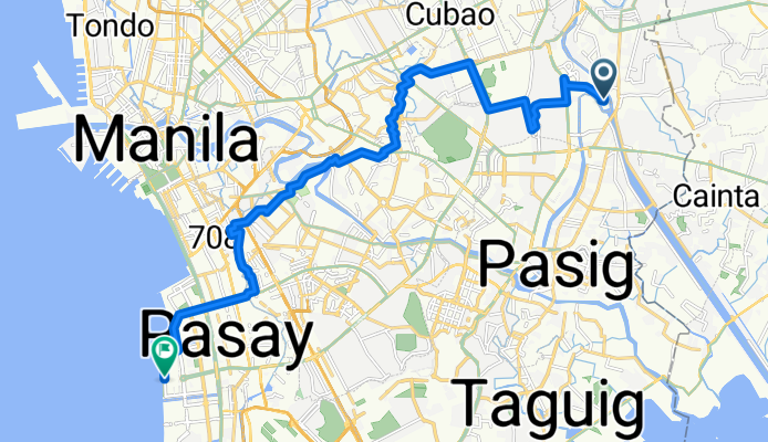
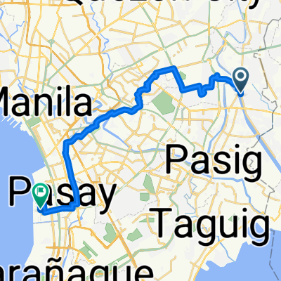
Modèle d’itinéraire
De Calumpang à Port Area

- 1 h 29 min
- Durée
- 25,3 km
- Distance
- 112 m
- Montée
- 118 m
- Descente
- 17,1 km/h
- Vit. moyenne
- 59 m
- Altitude max.
Hop onto your bike in Calumpang—this laid-back neighborhood in Marikina is known for its local eateries and the scenic Marikina River Park. From here, your 25 km ride takes you mostly on quiet roads, skirting busy hotspots while skimming through a mix of city life and casual residential pockets.
The route is quite manageable with gentle ups and downs—just a bit over 100 meters of ascent and descent—so you won’t be breaking too much of a sweat. The roads are mostly paved (think concrete and asphalt), but watch out for some segments where the surface gets a little patchy. As you roll closer to your destination, you’ll notice the urban vibe intensifying.
You’ll finish up at the Port Area in Manila. This is Manila’s hub for shipping and trade, and you might catch the sight of towering cargo ships or the buzz of port activity. You’re also just a short spin away from historic Intramuros, so consider cooling down with a side trip to Manila’s rich colonial past!
Communauté
Meilleurs utilisateurs dans cette région


De notre communauté
Les meilleurs itinéraires à vélo de Calumpang à Port Area
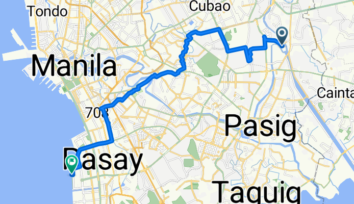
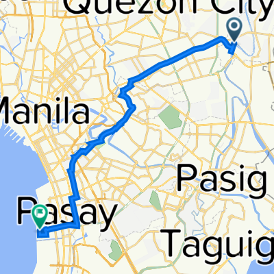
Industria Street, Quezon City to Barangay 76, Pasay
Itinéraire à vélo à Calumpang, National Capital Region, Philippines
- 24 km
- Distance
- 118 m
- Montée
- 127 m
- Descente

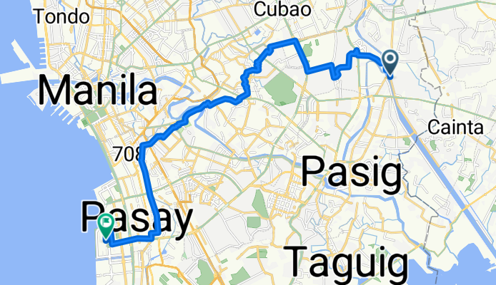
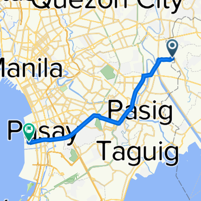
Route to Manila
Itinéraire à vélo à Calumpang, National Capital Region, Philippines
- 17,6 km
- Distance
- 145 m
- Montée
- 149 m
- Descente
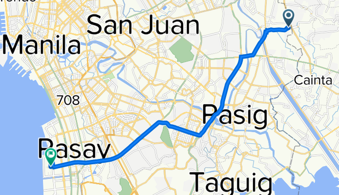
moa to qc / qc to moa
Itinéraire à vélo à Calumpang, National Capital Region, Philippines
- 22,7 km
- Distance
- 146 m
- Montée
- 156 m
- Descente

Marikina to Intramuros
Itinéraire à vélo à Calumpang, National Capital Region, Philippines
- 16 km
- Distance
- 74 m
- Montée
- 88 m
- Descente

Justin deathrides
Itinéraire à vélo à Calumpang, National Capital Region, Philippines
- 24,3 km
- Distance
- 78 m
- Montée
- 84 m
- Descente
MOA SEASIDE
Itinéraire à vélo à Calumpang, National Capital Region, Philippines
- 24,4 km
- Distance
- 99 m
- Montée
- 106 m
- Descente

Florentino Street 26, Marikina to GXPJ+89C, Pasay
Itinéraire à vélo à Calumpang, National Capital Region, Philippines
- 26,5 km
- Distance
- 90 m
- Montée
- 98 m
- Descente

Kamatis 1184, Pasig to GXPJ+89C, Pasay
Itinéraire à vélo à Calumpang, National Capital Region, Philippines
- 21,3 km
- Distance
- 93 m
- Montée
- 100 m
- Descente

Amphitheater Road, Marikina to Ocean Drive, Pasay
Itinéraire à vélo à Calumpang, National Capital Region, Philippines
- 21,3 km
- Distance
- 79 m
- Montée
- 82 m
- Descente
Pasig to Pacific Drive 504p, Pasay
Itinéraire à vélo à Calumpang, National Capital Region, Philippines
- 18,5 km
- Distance
- 45 m
- Montée
- 53 m
- Descente

Eulogio Amang Rodriguez Avenue 1800, Pasig to Ermita, Manila
Itinéraire à vélo à Calumpang, National Capital Region, Philippines
- 17,2 km
- Distance
- 115 m
- Montée
- 115 m
- Descente

Route from J.P. Rizal 14, Lungsod Quezon
Itinéraire à vélo à Calumpang, National Capital Region, Philippines
- 20,6 km
- Distance
- 34 m
- Montée
- 94 m
- Descente
Découvrez plus d'itinéraires
 Justin deathrides
- Distance
- 24,3 km
- Montée
- 78 m
- Descente
- 84 m
- Emplacement
- Calumpang, National Capital Region, Philippines
 MOA SEASIDE
- Distance
- 24,4 km
- Montée
- 99 m
- Descente
- 106 m
- Emplacement
- Calumpang, National Capital Region, Philippines
 Florentino Street 26, Marikina to GXPJ+89C, Pasay
- Distance
- 26,5 km
- Montée
- 90 m
- Descente
- 98 m
- Emplacement
- Calumpang, National Capital Region, Philippines
 Kamatis 1184, Pasig to GXPJ+89C, Pasay
- Distance
- 21,3 km
- Montée
- 93 m
- Descente
- 100 m
- Emplacement
- Calumpang, National Capital Region, Philippines
 Amphitheater Road, Marikina to Ocean Drive, Pasay
- Distance
- 21,3 km
- Montée
- 79 m
- Descente
- 82 m
- Emplacement
- Calumpang, National Capital Region, Philippines
 Pasig to Pacific Drive 504p, Pasay
- Distance
- 18,5 km
- Montée
- 45 m
- Descente
- 53 m
- Emplacement
- Calumpang, National Capital Region, Philippines
 Eulogio Amang Rodriguez Avenue 1800, Pasig to Ermita, Manila
- Distance
- 17,2 km
- Montée
- 115 m
- Descente
- 115 m
- Emplacement
- Calumpang, National Capital Region, Philippines
 Route from J.P. Rizal 14, Lungsod Quezon
- Distance
- 20,6 km
- Montée
- 34 m
- Descente
- 94 m
- Emplacement
- Calumpang, National Capital Region, Philippines
Itinéraires depuis Calumpang
Excursion à vélo d’une journée de
Calumpang à Makati City
À vélo de
Calumpang à Quezon City
À vélo de
Calumpang à Antipolo
Itinéraires vers Port Area
Excursion à vélo d’une journée de
Pateros à Port Area
Excursion à vélo d’une journée de
Las Piñas à Port Area
À vélo de
Manille à Port Area
À vélo de
Quiapo à Port Area