
Modèle d’itinéraire
De Sha Tin à Sai Kung

- 1 h 54 min
- Durée
- 26 km
- Distance
- 596 m
- Montée
- 641 m
- Descente
- 13,7 km/h
- Vit. moyenne
- 254 m
- Altitude max.
This scenic cycling route takes you from the bustling hub of Shatin to the laid-back seaside town of Sai Kung. Starting in Shatin, a popular New Territories district known for its riverside promenade, shopping malls, and access to Tai Wai and HK’s cycling network, you’ll soon leave urban life behind as you wind your way east.
With a distance of just over 26 km, it’s a moderate ride, but expect a fair bit of climbing—almost 600 meters of ascent! The route is mostly paved, but keep an eye out for sections where the surface is less defined. You’ll be rolling along dedicated cycleways and quiet roads for the majority of the ride, perfect for soaking up the lush greenery and mountainous views typical of this part of Hong Kong.
Arriving in Sai Kung, you’ll be greeted by sea breezes and plenty of waterfront cafes—the perfect spot to refuel. Known as the “back garden of Hong Kong,” Sai Kung is famous for its seafood, relaxed vibe, and gateway to stunning hikes and beaches. It’s a great finish to a rewarding ride!
Communauté
Meilleurs utilisateurs dans cette région

De notre communauté
Les meilleurs itinéraires à vélo de Sha Tin à Sai Kung

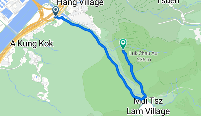
2019-02-02 LFPTLT(2)瀝源至馬鞍山
Itinéraire à vélo à Sha Tin, Sha Tin, Hong Kong
- 8,3 km
- Distance
- 583 m
- Montée
- 583 m
- Descente

voice instructions investigation: 烏溪沙, 馬鞍山 to 青沙公路, 大圍
Itinéraire à vélo à Sha Tin, Sha Tin, Hong Kong
- 7 km
- Distance
- 118 m
- Montée
- 67 m
- Descente


bike tour from (null) to (null)
Itinéraire à vélo à Sha Tin, Sha Tin, Hong Kong
- 22,4 km
- Distance
- 92 m
- Montée
- 82 m
- Descente


補trip第一日
Itinéraire à vélo à Sha Tin, Sha Tin, Hong Kong
- 39,8 km
- Distance
- 357 m
- Montée
- 386 m
- Descente

27/7/2019
Itinéraire à vélo à Sha Tin, Sha Tin, Hong Kong
- 24,6 km
- Distance
- 228 m
- Montée
- 221 m
- Descente

恆明街 2 to 西沙路近水浪窩
Itinéraire à vélo à Sha Tin, Sha Tin, Hong Kong
- 14,2 km
- Distance
- 380 m
- Montée
- 302 m
- Descente
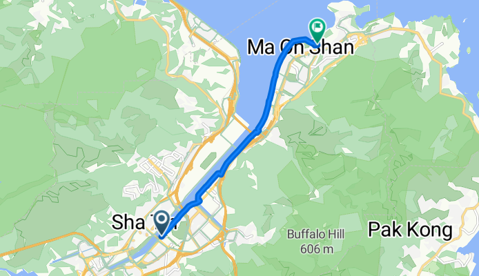
Tai Chung Kiu Rd, Sha Tin to Sai Sha Rd, Ma On Shan
Itinéraire à vélo à Sha Tin, Sha Tin, Hong Kong
- 7,7 km
- Distance
- 119 m
- Montée
- 111 m
- Descente

Route to 1A, Yiu Sha Road, Ma On Shan, Sha Tin District, Hong Kong
Itinéraire à vélo à Sha Tin, Sha Tin, Hong Kong
- 5,5 km
- Distance
- 151 m
- Montée
- 148 m
- Descente

4/8/2019
Itinéraire à vélo à Sha Tin, Sha Tin, Hong Kong
- 24,8 km
- Distance
- 269 m
- Montée
- 267 m
- Descente
Découvrez plus d'itinéraires
 bike tour from (null) to (null)
- Distance
- 22,4 km
- Montée
- 92 m
- Descente
- 82 m
- Emplacement
- Sha Tin, Sha Tin, Hong Kong
 jackymaonshan2
- Distance
- 7,1 km
- Montée
- 530 m
- Descente
- 401 m
- Emplacement
- Sha Tin, Sha Tin, Hong Kong
 補trip第一日
- Distance
- 39,8 km
- Montée
- 357 m
- Descente
- 386 m
- Emplacement
- Sha Tin, Sha Tin, Hong Kong
 27/7/2019
- Distance
- 24,6 km
- Montée
- 228 m
- Descente
- 221 m
- Emplacement
- Sha Tin, Sha Tin, Hong Kong
 恆明街 2 to 西沙路近水浪窩
- Distance
- 14,2 km
- Montée
- 380 m
- Descente
- 302 m
- Emplacement
- Sha Tin, Sha Tin, Hong Kong
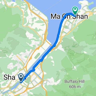 Tai Chung Kiu Rd, Sha Tin to Sai Sha Rd, Ma On Shan
- Distance
- 7,7 km
- Montée
- 119 m
- Descente
- 111 m
- Emplacement
- Sha Tin, Sha Tin, Hong Kong
 Route to 1A, Yiu Sha Road, Ma On Shan, Sha Tin District, Hong Kong
- Distance
- 5,5 km
- Montée
- 151 m
- Descente
- 148 m
- Emplacement
- Sha Tin, Sha Tin, Hong Kong
 4/8/2019
- Distance
- 24,8 km
- Montée
- 269 m
- Descente
- 267 m
- Emplacement
- Sha Tin, Sha Tin, Hong Kong
Itinéraires depuis Sha Tin
Excursion à vélo d’une journée de
Sha Tin à Tuen Mun
Excursion à vélo d’une journée de
Sha Tin à Yuen Long Kau Hui
À vélo de
Sha Tin à Tai Po
Itinéraires vers Sai Kung
Excursion à vélo d’une journée de
Tuen Mun à Sai Kung
Excursion à vélo d’une journée de
Kowloon à Sai Kung