
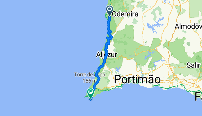
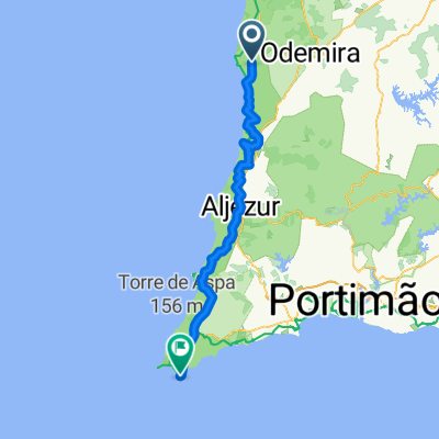
Excursion à vélo d’une journée de São Teotónio à Sagres
Personnalise ton propre itinéraire à partir de notre modèle ou découvre comment notre communauté préfère rouler de São Teotónio à Sagres.
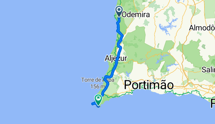
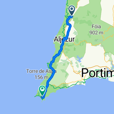
Modèle d’itinéraire
De São Teotónio à Sagres
- 6 h 30 min
- Durée
- 83 km
- Distance
- 965 m
- Montée
- 1 087 m
- Descente
- 12,8 km/h
- Vit. moyenne
- 193 m
- Altitude max.
Roll out from São Teotónio, a laid‑back Alentejo town on the edge of the Southwest Alentejo and Vicentine Coast Natural Park, and aim south toward the Algarve’s wild tip. It’s about 83 km with roughly 1,000 m of climbing and a touch more descending. Expect a mix of farm tracks and quiet lanes—plenty of gravel and unpaved stretches—so wider tires and a relaxed pace pay off.
The riding weaves through cork oak, farmland, and scrubby coastal hills. You can dip to the coast for beach views if you like, but the inland lines are calmer. Handy places to refuel along the way include Odeceixe, Rogil, Aljezur, and later Carrapateira or Vila do Bispo, depending on your exact line.
You’ll finish in Sagres, famous for dramatic cliffs, surfy vibes, and big sunsets. Don’t miss the Fortaleza de Sagres, and the Cabo de São Vicente lighthouse is just down the road. Wind can be fierce near the cape, so pack a layer and expect a tail or crosswind. Overall: scenic, mostly off‑traffic, and adventurous—ideal for a gravel‑oriented day out with plenty of photo stops.
Communauté
Meilleurs utilisateurs dans cette région


De notre communauté
Les meilleurs itinéraires à vélo de São Teotónio à Sagres
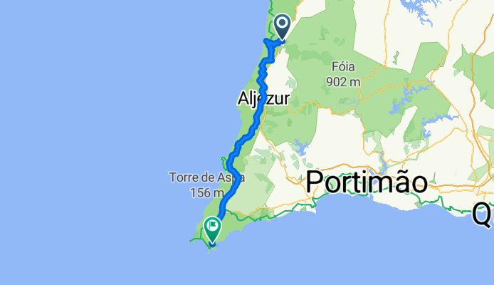
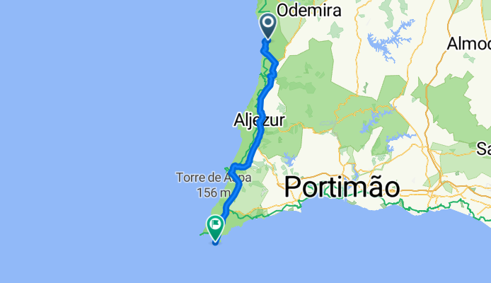
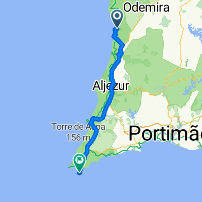
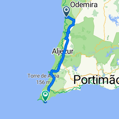
From Odemira to Vila do Bispo
Itinéraire à vélo à São Teotónio, Beja, Portugal
- 67,3 km
- Distance
- 753 m
- Montée
- 770 m
- Descente

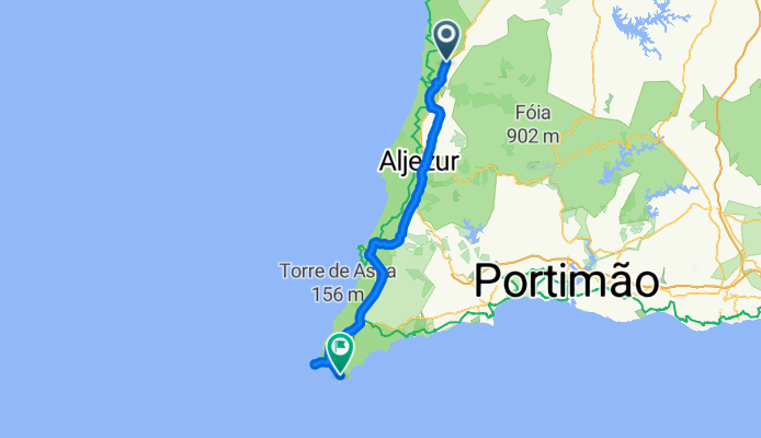
Troia - Sagres - Treino (3)
Itinéraire à vélo à São Teotónio, Beja, Portugal
- 71,2 km
- Distance
- 413 m
- Montée
- 567 m
- Descente
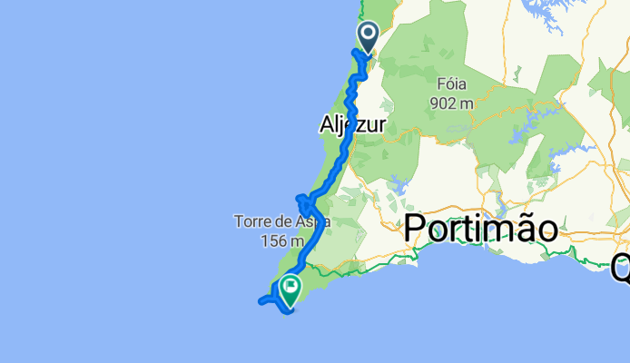
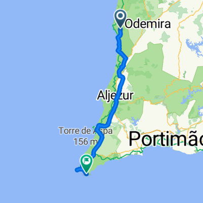
São Teotónio - Sagres
Itinéraire à vélo à São Teotónio, Beja, Portugal
- 71,7 km
- Distance
- 648 m
- Montée
- 629 m
- Descente

Day7_Odeceixe_Sagres
Itinéraire à vélo à São Teotónio, Beja, Portugal
- 73,3 km
- Distance
- 430 m
- Montée
- 405 m
- Descente
D3 Portugalia
Itinéraire à vélo à São Teotónio, Beja, Portugal
- 81,2 km
- Distance
- 481 m
- Montée
- 455 m
- Descente
São Teotónio - Sagres
Itinéraire à vélo à São Teotónio, Beja, Portugal
- 57,5 km
- Distance
- 220 m
- Montée
- 285 m
- Descente
Praia de Odeceixe to Sagres
Itinéraire à vélo à São Teotónio, Beja, Portugal
- 82,1 km
- Distance
- 471 m
- Montée
- 458 m
- Descente
São Teotónio - Sagres
Itinéraire à vélo à São Teotónio, Beja, Portugal
- 89,5 km
- Distance
- 865 m
- Montée
- 901 m
- Descente
São Teotónio - Sagres
Itinéraire à vélo à São Teotónio, Beja, Portugal
- 88,5 km
- Distance
- 695 m
- Montée
- 725 m
- Descente

12OOdeceixeSagres
Itinéraire à vélo à São Teotónio, Beja, Portugal
- 62,8 km
- Distance
- 677 m
- Montée
- 675 m
- Descente
Découvrez plus d'itinéraires
 D3 Portugalia
- Distance
- 81,2 km
- Montée
- 481 m
- Descente
- 455 m
- Emplacement
- São Teotónio, Beja, Portugal
 São Teotónio - Sagres
- Distance
- 57,5 km
- Montée
- 220 m
- Descente
- 285 m
- Emplacement
- São Teotónio, Beja, Portugal
 Praia de Odeceixe to Sagres
- Distance
- 82,1 km
- Montée
- 471 m
- Descente
- 458 m
- Emplacement
- São Teotónio, Beja, Portugal
 São Teotónio - Sagres
- Distance
- 89,5 km
- Montée
- 865 m
- Descente
- 901 m
- Emplacement
- São Teotónio, Beja, Portugal
 zamb_sag
- Distance
- 74,4 km
- Montée
- 479 m
- Descente
- 510 m
- Emplacement
- São Teotónio, Beja, Portugal
 São Teotónio - Sagres
- Distance
- 88,5 km
- Montée
- 695 m
- Descente
- 725 m
- Emplacement
- São Teotónio, Beja, Portugal
 12OOdeceixeSagres
- Distance
- 62,8 km
- Montée
- 677 m
- Descente
- 675 m
- Emplacement
- São Teotónio, Beja, Portugal
 sagres
- Distance
- 77 km
- Montée
- 548 m
- Descente
- 573 m
- Emplacement
- São Teotónio, Beja, Portugal
Itinéraires depuis São Teotónio
Excursion à vélo d’une journée de
São Teotónio à Aljezur
Itinéraires vers Sagres
Bikepacking de
Setúbal à Sagres
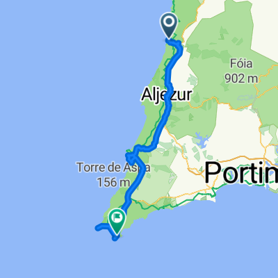
Excursion à vélo d’une journée de
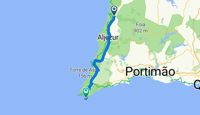
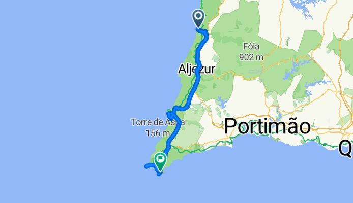
Aljezur à Sagres
Excursion à vélo d’une journée de
Lagos à Sagres
À vélo de
Vila do Bispo à Sagres