
Modèle d’itinéraire
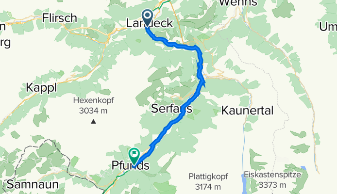
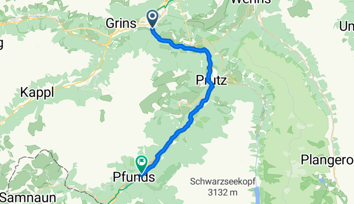
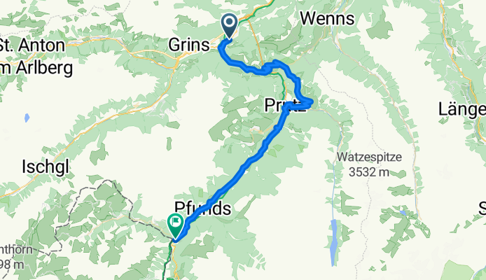
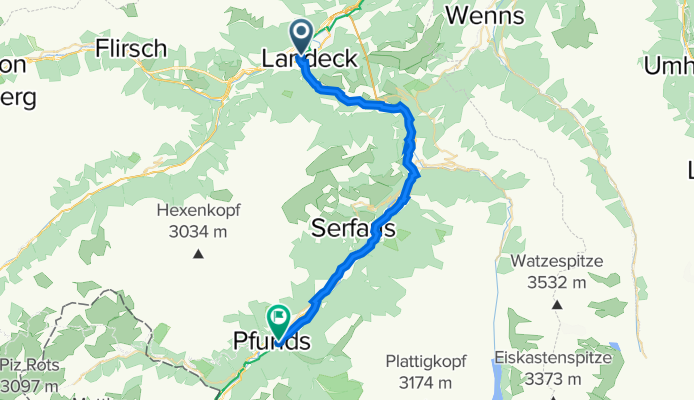
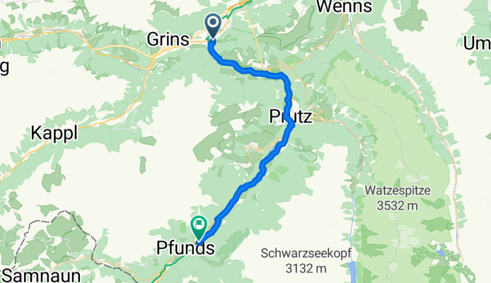
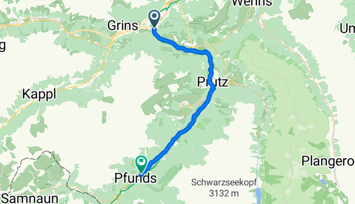
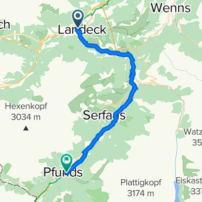
De Landeck à Pfunds
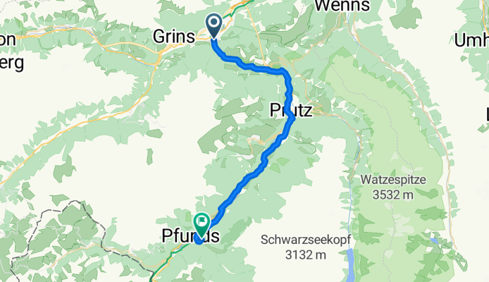
- 2 h 2 min
- Durée
- 31,6 km
- Distance
- 862 m
- Montée
- 618 m
- Descente
- 15,5 km/h
- Vit. moyenne
- 1 040 m
- Altitude max.
Set off from Landeck, a lively Tyrolean town that’s a bit of a hub for adventurers, nestled between dramatic peaks and old castles. The ride to Pfunds is just over 31 km—long enough to make you feel you’ve earned your strudel! Most of the route is smooth asphalt on peaceful roads, winding through forested valleys and charming villages. Though there are a couple of busier road stretches, the grand Alpine views more than make up for it.
It’s a bit of a workout, with some decent climbs (keep an eye on your legs—there’s over 860 meters of ascent!) before you descend towards Pfunds. Pfunds itself is a classic Alpine village, sitting at the edge of the Inn River, known for its beautiful architecture and as a gateway to Switzerland and Italy.
Bring your camera along, and be ready for that exhilarating downhill into Pfunds!
Communauté
Meilleurs utilisateurs dans cette région


De notre communauté
Les meilleurs itinéraires à vélo de Landeck à Pfunds

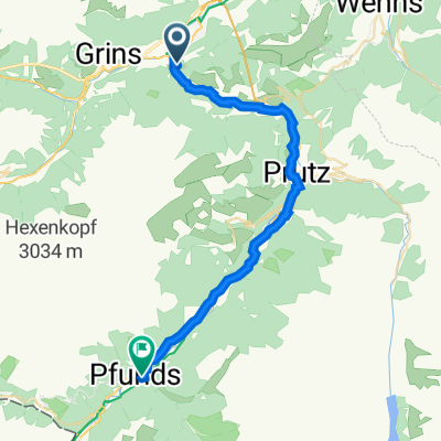
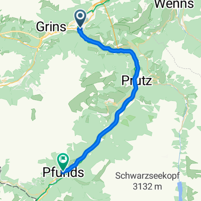
CA5a Landeck-Zams to Pfunds - shuttle (Austria)
Itinéraire à vélo à Landeck, Tyrol, Autriche
- 35,6 km
- Distance
- 670 m
- Montée
- 445 m
- Descente
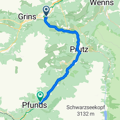
Landeck Postamt nach Dorf 63, Pfunds
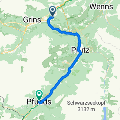
Itinéraire à vélo à Landeck, Tyrol, Autriche
- 31,3 km
- Distance
- 338 m
- Montée
- 166 m
- Descente
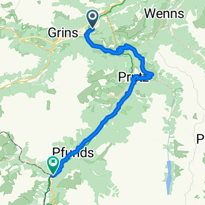
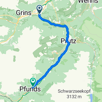
Alpencross Mai 2010 Landeck - Pfunds
Itinéraire à vélo à Landeck, Tyrol, Autriche
- 31,6 km
- Distance
- 731 m
- Montée
- 591 m
- Descente

1_Etschradweg_Landeck-Pfunds
Itinéraire à vélo à Landeck, Tyrol, Autriche
- 30,7 km
- Distance
- 782 m
- Montée
- 657 m
- Descente

Etschradweg 2017 1. Etappe.gpx
Itinéraire à vélo à Landeck, Tyrol, Autriche
- 32,8 km
- Distance
- 296 m
- Montée
- 103 m
- Descente
Tag1 - a: Schwetserherz
Itinéraire à vélo à Landeck, Tyrol, Autriche
- 49,6 km
- Distance
- 1 081 m
- Montée
- 788 m
- Descente
T1 Landeck-Pfunds
Itinéraire à vélo à Landeck, Tyrol, Autriche
- 33,1 km
- Distance
- 654 m
- Montée
- 503 m
- Descente

Découvrez plus d'itinéraires
 1_Etschradweg_Landeck-Pfunds
- Distance
- 30,7 km
- Montée
- 782 m
- Descente
- 657 m
- Emplacement
- Landeck, Tyrol, Autriche
 Etschradweg 2017 1. Etappe.gpx
- Distance
- 32,8 km
- Montée
- 296 m
- Descente
- 103 m
- Emplacement
- Landeck, Tyrol, Autriche
 Landeck - Pfunds
- Distance
- 29,8 km
- Montée
- 772 m
- Descente
- 617 m
- Emplacement
- Landeck, Tyrol, Autriche
 Tag1 - a: Schwetserherz
- Distance
- 49,6 km
- Montée
- 1 081 m
- Descente
- 788 m
- Emplacement
- Landeck, Tyrol, Autriche
 T1 Landeck-Pfunds
- Distance
- 33,1 km
- Montée
- 654 m
- Descente
- 503 m
- Emplacement
- Landeck, Tyrol, Autriche
 landeck pfunds
- Distance
- 29,1 km
- Montée
- 320 m
- Descente
- 135 m
- Emplacement
- Landeck, Tyrol, Autriche
 Landeck - Pfunds
- Distance
- 30,2 km
- Montée
- 820 m
- Descente
- 677 m
- Emplacement
- Landeck, Tyrol, Autriche
 Landeck - Pfunds
- Distance
- 28,9 km
- Montée
- 643 m
- Descente
- 496 m
- Emplacement
- Landeck, Tyrol, Autriche
Itinéraires depuis Landeck
Bikepacking de
Landeck à Curon Venosta
Bikepacking de
Landeck à Malles Venosta
Excursion à vélo d’une journée de
Landeck à Nauders
Excursion à vélo d’une journée de
Landeck à Innsbruck
Itinéraires vers Pfunds
Excursion à vélo d’une journée de
Nassereith à Pfunds
Excursion à vélo d’une journée de
Imst à Pfunds