
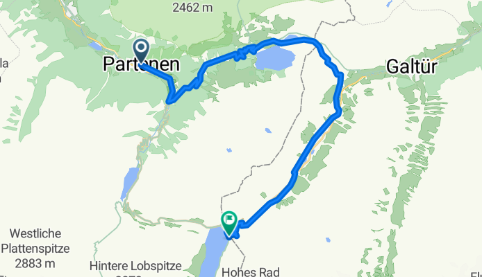
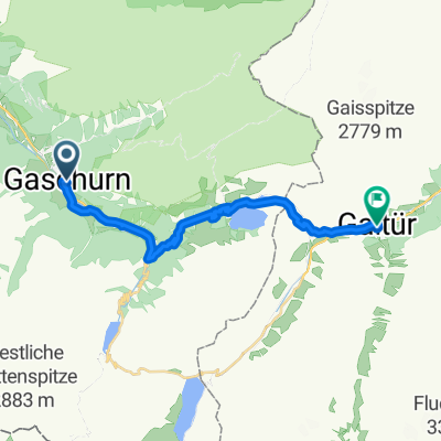
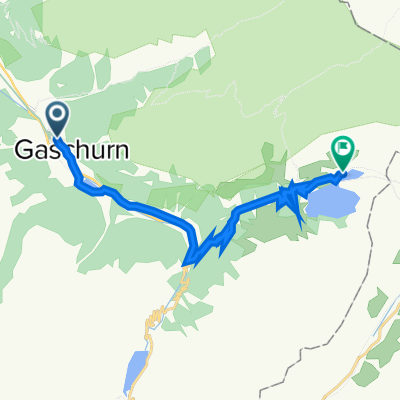
Modèle d’itinéraire
De Gaschurn à Galtür
- 2 h 9 min
- Durée
- 21,8 km
- Distance
- 1 198 m
- Montée
- 610 m
- Descente
- 10,2 km/h
- Vit. moyenne
- 1 854 m
- Altitude max.
Get ready for a breathtaking ride from Gaschurn to Galtür, a scenic journey through the heart of the Austrian Alps! Starting in Gaschurn, a charming village famously known as a gateway to the Silvretta Alps, you'll pedal your way upward through lush valleys and pine forests. This 21.7 km route isn’t for the faint of heart, featuring a leg-burning ascent of nearly 1,200 meters. But with most of the surfaces paved or asphalt, you'll find the climbs manageable—with rewarding mountain views all the way.
Much of the ride follows quiet roads and tracks, letting you soak up peaceful alpine surroundings. A good chunk—about 10%—is on gravel, so a sturdy bike is a plus. By the time you reach Galtür, sitting close to 1,600 meters in altitude, you’ll have traversed one of the loveliest sections of the Montafon and Paznaun valleys. Galtür itself is an alpine gem, well-known for its outdoor adventures and as a winter sports haven.
Take plenty of breaks and enjoy the ride—you’ve earned those mountain panoramas!
Communauté
Meilleurs utilisateurs dans cette région


De notre communauté
Les meilleurs itinéraires à vélo de Gaschurn à Galtür

Silvretta
Itinéraire à vélo à Gaschurn, Vorarlberg, Autriche
- 14,1 km
- Distance
- 1 000 m
- Montée
- 55 m
- Descente

Neue Heilbronner Hütte
Itinéraire à vélo à Gaschurn, Vorarlberg, Autriche
- 14,1 km
- Distance
- 1 198 m
- Montée
- 115 m
- Descente

3. etappe gaschurn - bielerhöhe
Itinéraire à vélo à Gaschurn, Vorarlberg, Autriche
- 18,9 km
- Distance
- 1 133 m
- Montée
- 67 m
- Descente

Valschavieltal 1
Itinéraire à vélo à Gaschurn, Vorarlberg, Autriche
- 9,6 km
- Distance
- 1 072 m
- Montée
- 33 m
- Descente

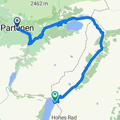
Silvretta-Stausee
Itinéraire à vélo à Gaschurn, Vorarlberg, Autriche
- 20 km
- Distance
- 417 m
- Montée
- 580 m
- Descente

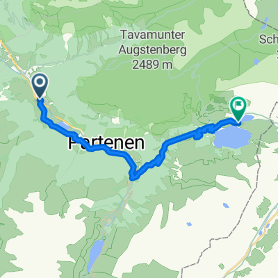
Powder Party 2014 - Tag 1 (Partenen)
Itinéraire à vélo à Gaschurn, Vorarlberg, Autriche
- 11,4 km
- Distance
- 1 203 m
- Montée
- 9 m
- Descente
Paternen Bielerhöhe
Itinéraire à vélo à Gaschurn, Vorarlberg, Autriche
- 15,2 km
- Distance
- 1 016 m
- Montée
- 17 m
- Descente
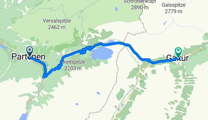
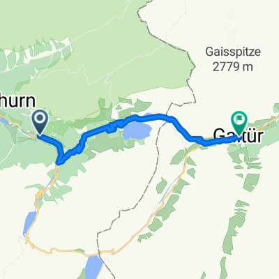
K2.02 Gaschurn - Galtür
Itinéraire à vélo à Gaschurn, Vorarlberg, Autriche
- 18,7 km
- Distance
- 917 m
- Montée
- 339 m
- Descente
Dorfstraße, Gaschurn nach Gaschurn
Itinéraire à vélo à Gaschurn, Vorarlberg, Autriche
- 13,5 km
- Distance
- 1 169 m
- Montée
- 334 m
- Descente
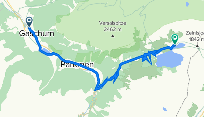
Hoch. Partenen Silveretta Stausee
Itinéraire à vélo à Gaschurn, Vorarlberg, Autriche
- 21,2 km
- Distance
- 1 152 m
- Montée
- 170 m
- Descente
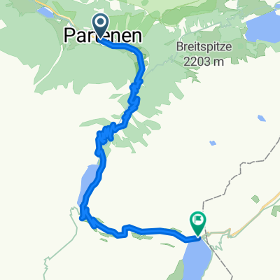
partenen-galtür
Itinéraire à vélo à Gaschurn, Vorarlberg, Autriche
- 14,9 km
- Distance
- 827 m
- Montée
- 292 m
- Descente
Gaschurn - Kops Stausee
Itinéraire à vélo à Gaschurn, Vorarlberg, Autriche
- 12,9 km
- Distance
- 939 m
- Montée
- 92 m
- Descente
Découvrez plus d'itinéraires
 Silvretta-Stausee
- Distance
- 20 km
- Montée
- 417 m
- Descente
- 580 m
- Emplacement
- Gaschurn, Vorarlberg, Autriche
 Powder Party 2014 - Tag 1 (Partenen)
- Distance
- 11,4 km
- Montée
- 1 203 m
- Descente
- 9 m
- Emplacement
- Gaschurn, Vorarlberg, Autriche
 Paternen Bielerhöhe
- Distance
- 15,2 km
- Montée
- 1 016 m
- Descente
- 17 m
- Emplacement
- Gaschurn, Vorarlberg, Autriche
 K2.02 Gaschurn - Galtür
- Distance
- 18,7 km
- Montée
- 917 m
- Descente
- 339 m
- Emplacement
- Gaschurn, Vorarlberg, Autriche
 Dorfstraße, Gaschurn nach Gaschurn
- Distance
- 13,5 km
- Montée
- 1 169 m
- Descente
- 334 m
- Emplacement
- Gaschurn, Vorarlberg, Autriche
 Hoch. Partenen Silveretta Stausee
- Distance
- 21,2 km
- Montée
- 1 152 m
- Descente
- 170 m
- Emplacement
- Gaschurn, Vorarlberg, Autriche
 partenen-galtür
- Distance
- 14,9 km
- Montée
- 827 m
- Descente
- 292 m
- Emplacement
- Gaschurn, Vorarlberg, Autriche
 Gaschurn - Kops Stausee
- Distance
- 12,9 km
- Montée
- 939 m
- Descente
- 92 m
- Emplacement
- Gaschurn, Vorarlberg, Autriche