
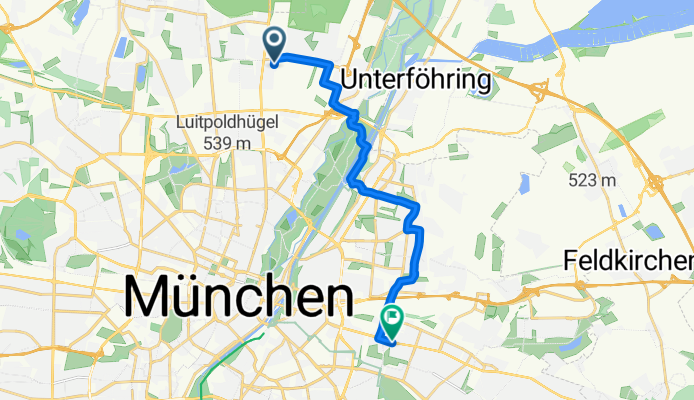
Sortie rapide à vélo de Unterföhring à Bogenhausen
Personnalise ton propre itinéraire à partir de notre modèle ou découvre comment notre communauté préfère rouler de Unterföhring à Bogenhausen.
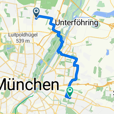
Modèle d’itinéraire
De Unterföhring à Bogenhausen

- 31 min
- Durée
- 8,5 km
- Distance
- 25 m
- Montée
- 10 m
- Descente
- 16,6 km/h
- Vit. moyenne
- 529 m
- Altitude max.
Here’s a fun route for a city spin: you’ll be rolling from Unterföhring, a lively small town just northeast of Munich known for its major media companies and beautiful green spaces, down to the elegant district of Bogenhausen. The ride covers just over 8.5 km, mostly on smooth, paved paths and asphalt, so it’s easy-going and great for city bikes.
You’ll start by following calm cycleways and quiet roads—perfect for an after-work ride or an easy introduction to urban cycling in Munich. With less than 25 meters of ascent, expect mostly flat terrain as you cruise alongside canals and through a few charming neighborhoods.
Bogenhausen is one of Munich’s most picturesque areas, home to leafy boulevards, impressive villas, and the iconic Friedensengel monument. The route is mostly on dedicated bike paths and away from heavy traffic, making it both relaxing and scenic. Grab a coffee in one of Bogenhausen’s many cozy cafés before heading back or exploring further. Happy cycling!
Communauté
Meilleurs utilisateurs dans cette région


De notre communauté
Les meilleurs itinéraires à vélo de Unterföhring à Bogenhausen

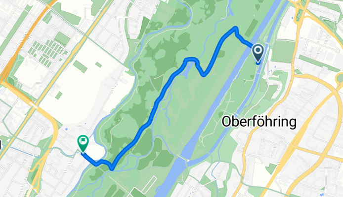
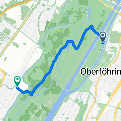
Poschinger W.-26km-zurück
Itinéraire à vélo à Unterföhring, Bavière, Allemagne
- 14,5 km
- Distance
- 71 m
- Montée
- 35 m
- Descente

13BogenhausenKrankenhaus
Itinéraire à vélo à Unterföhring, Bavière, Allemagne
- 13,1 km
- Distance
- 42 m
- Montée
- 20 m
- Descente

Sondermeierstraße, München nach Kleinhesselohe 5, München
Itinéraire à vélo à Unterföhring, Bavière, Allemagne
- 4,1 km
- Distance
- 41 m
- Montée
- 27 m
- Descente

einfach mal rumfahren
Itinéraire à vélo à Unterföhring, Bavière, Allemagne
- 23,5 km
- Distance
- 23 m
- Montée
- 20 m
- Descente

Gravel_Ost_light
Itinéraire à vélo à Unterföhring, Bavière, Allemagne
- 51,4 km
- Distance
- 126 m
- Montée
- 115 m
- Descente

Carl-Orff-Bogen 131, München nach Germaniastraße 35–39, München
Itinéraire à vélo à Unterföhring, Bavière, Allemagne
- 5,5 km
- Distance
- 16 m
- Montée
- 0 m
- Descente
St Emmeram, München nach Osterwaldstraße, München
Itinéraire à vélo à Unterföhring, Bavière, Allemagne
- 3,3 km
- Distance
- 21 m
- Montée
- 19 m
- Descente

Grasmeierstraße 27, Munich to Elektrastraße 13, Munich
Itinéraire à vélo à Unterföhring, Bavière, Allemagne
- 5,3 km
- Distance
- 34 m
- Montée
- 12 m
- Descente

20170518_194532.gpx
Itinéraire à vélo à Unterföhring, Bavière, Allemagne
- 1,3 km
- Distance
- 0 m
- Montée
- 0 m
- Descente
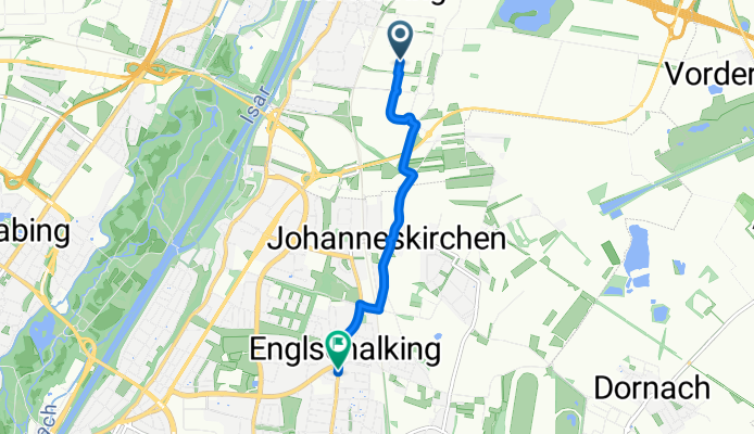
Paracelsusstraße 12A, München nach Kreillerstraße 40, München
Itinéraire à vélo à Unterföhring, Bavière, Allemagne
- 14 km
- Distance
- 49 m
- Montée
- 22 m
- Descente

Kurt-Landauer-Weg 10, Munich to Osterwaldstraße 155, Munich
Itinéraire à vélo à Unterföhring, Bavière, Allemagne
- 41,8 km
- Distance
- 244 m
- Montée
- 236 m
- Descente
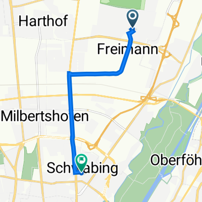
Allianz heimweg
Itinéraire à vélo à Unterföhring, Bavière, Allemagne
- 4,4 km
- Distance
- 12 m
- Montée
- 0 m
- Descente
Découvrez plus d'itinéraires
 Gravel_Ost_light
- Distance
- 51,4 km
- Montée
- 126 m
- Descente
- 115 m
- Emplacement
- Unterföhring, Bavière, Allemagne
 Carl-Orff-Bogen 131, München nach Germaniastraße 35–39, München
- Distance
- 5,5 km
- Montée
- 16 m
- Descente
- 0 m
- Emplacement
- Unterföhring, Bavière, Allemagne
 St Emmeram, München nach Osterwaldstraße, München
- Distance
- 3,3 km
- Montée
- 21 m
- Descente
- 19 m
- Emplacement
- Unterföhring, Bavière, Allemagne
 Grasmeierstraße 27, Munich to Elektrastraße 13, Munich
- Distance
- 5,3 km
- Montée
- 34 m
- Descente
- 12 m
- Emplacement
- Unterföhring, Bavière, Allemagne
 20170518_194532.gpx
- Distance
- 1,3 km
- Montée
- 0 m
- Descente
- 0 m
- Emplacement
- Unterföhring, Bavière, Allemagne
 Paracelsusstraße 12A, München nach Kreillerstraße 40, München
- Distance
- 14 km
- Montée
- 49 m
- Descente
- 22 m
- Emplacement
- Unterföhring, Bavière, Allemagne
 Kurt-Landauer-Weg 10, Munich to Osterwaldstraße 155, Munich
- Distance
- 41,8 km
- Montée
- 244 m
- Descente
- 236 m
- Emplacement
- Unterföhring, Bavière, Allemagne
 Allianz heimweg
- Distance
- 4,4 km
- Montée
- 12 m
- Descente
- 0 m
- Emplacement
- Unterföhring, Bavière, Allemagne
Itinéraires depuis Unterföhring
Excursion à vélo d’une journée de
Unterföhring à Pasing
Sortie rapide à vélo de
Unterföhring à Munich
Sortie rapide à vélo de
Unterföhring à Oberschleißheim
Itinéraires vers Bogenhausen
Sortie rapide à vélo de
Munich à Bogenhausen
Sortie rapide à vélo de
Neuried à Bogenhausen