
Bikepacking de Eisenach à Altenbourg
Personnalise ton propre itinéraire à partir de notre modèle ou découvre comment notre communauté préfère rouler de Eisenach à Altenbourg.
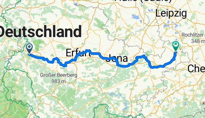
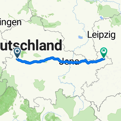
Modèle d’itinéraire
De Eisenach à Altenbourg
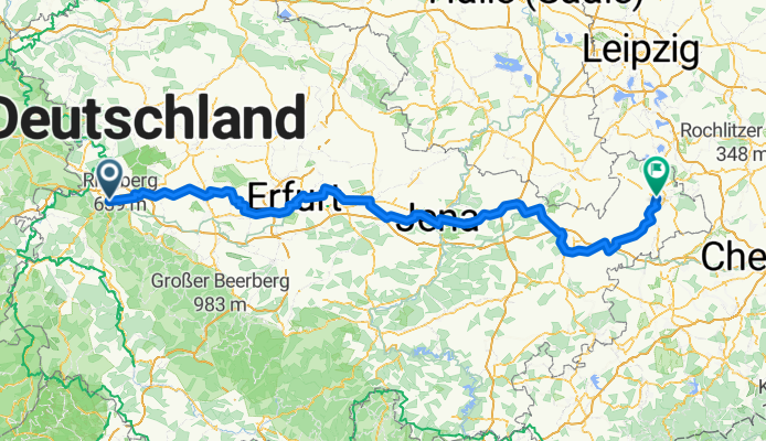
- 13 h 2 min
- Durée
- 218,1 km
- Distance
- 1 471 m
- Montée
- 1 484 m
- Descente
- 16,7 km/h
- Vit. moyenne
- 346 m
- Altitude max.
This scenic ride takes you from the historic town of Eisenach, famous as the birthplace of Johann Sebastian Bach and home to the Wartburg Castle, clear across Thuringia into the charming city of Altenburg in Saxony. The route covers just over 218 km, mostly on quiet roads and tracks, with a gentle mix of cycleways and pathways—great for soaking up the varied countryside.
You’ll spend most of your time riding on good-quality, paved surfaces (asphalt lovers rejoice!), with an undulating profile that adds up to around 1,470 meters of climbing. There’s a pleasant rhythm to this ride, as you cruise past forests, cross small towns, and enjoy plenty of wide-open rural views.
Arriving in Altenburg, you can reward yourself by exploring its grand ducal castle and maybe try a game of skat, Germany’s favorite card game (it was invented here!). Overall, this is a long but rewarding journey through heartland Germany—perfect for adventurers who enjoy both nature and a touch of history.
Communauté
Meilleurs utilisateurs dans cette région

De notre communauté
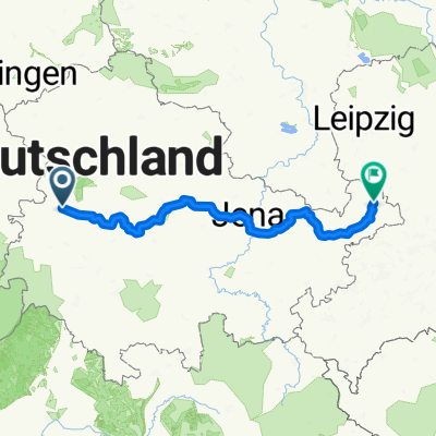
Les meilleurs itinéraires à vélo de Eisenach à Altenbourg

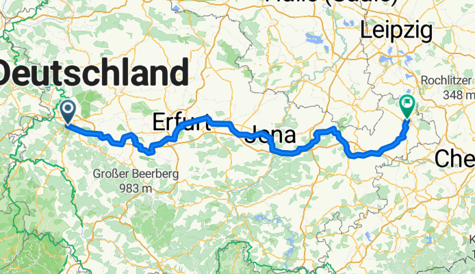
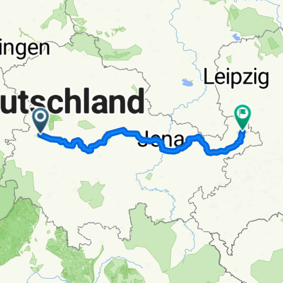
Thüringer Städtekette
Itinéraire à vélo à Eisenach, Thuringe, Allemagne
- 227,2 km
- Distance
- 673 m
- Montée
- 682 m
- Descente

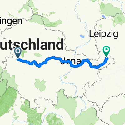
Thüringer Städtekette
Itinéraire à vélo à Eisenach, Thuringe, Allemagne
- 227,2 km
- Distance
- 663 m
- Montée
- 700 m
- Descente

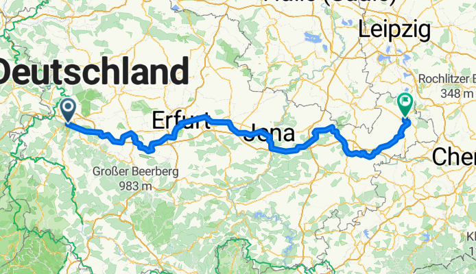
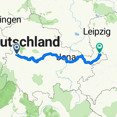
Thüringer Städtekette
Itinéraire à vélo à Eisenach, Thuringe, Allemagne
- 186,6 km
- Distance
- 781 m
- Montée
- 797 m
- Descente

Thüringer Städtekette
Itinéraire à vélo à Eisenach, Thuringe, Allemagne
- 225,9 km
- Distance
- 666 m
- Montée
- 710 m
- Descente
Thüringer Städtekette
Itinéraire à vélo à Eisenach, Thuringe, Allemagne
- 225,9 km
- Distance
- 667 m
- Montée
- 711 m
- Descente

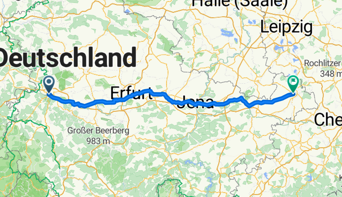
Markt 24, Eisenach nach Pauritzer Platz 4, Altenburg
Itinéraire à vélo à Eisenach, Thuringe, Allemagne
- 247,1 km
- Distance
- 1 820 m
- Montée
- 1 863 m
- Descente
Thüringer Städteradweg komplett
Itinéraire à vélo à Eisenach, Thuringe, Allemagne
- 233,3 km
- Distance
- 676 m
- Montée
- 722 m
- Descente

Thüringer Städtekette
Itinéraire à vélo à Eisenach, Thuringe, Allemagne
- 227,2 km
- Distance
- 679 m
- Montée
- 715 m
- Descente

Markt 24, Eisenach nach Pauritzer Platz 4, Altenburg
Itinéraire à vélo à Eisenach, Thuringe, Allemagne
- 249,8 km
- Distance
- 1 750 m
- Montée
- 1 793 m
- Descente

Markt 24, Eisenach nach Pauritzer Platz 4, Altenburg
Itinéraire à vélo à Eisenach, Thuringe, Allemagne
- 249,8 km
- Distance
- 1 750 m
- Montée
- 1 793 m
- Descente
Eisenach - Altenburg
Itinéraire à vélo à Eisenach, Thuringe, Allemagne
- 177,6 km
- Distance
- 733 m
- Montée
- 749 m
- Descente
Staedtekette
Itinéraire à vélo à Eisenach, Thuringe, Allemagne
- 227 km
- Distance
- 706 m
- Montée
- 751 m
- Descente
Découvrez plus d'itinéraires
 Thüringer Städtekette
- Distance
- 225,9 km
- Montée
- 667 m
- Descente
- 711 m
- Emplacement
- Eisenach, Thuringe, Allemagne
 Markt 24, Eisenach nach Pauritzer Platz 4, Altenburg
- Distance
- 247,1 km
- Montée
- 1 820 m
- Descente
- 1 863 m
- Emplacement
- Eisenach, Thuringe, Allemagne
 Thüringer Städteradweg komplett
- Distance
- 233,3 km
- Montée
- 676 m
- Descente
- 722 m
- Emplacement
- Eisenach, Thuringe, Allemagne
 Thüringer Städtekette
- Distance
- 227,2 km
- Montée
- 679 m
- Descente
- 715 m
- Emplacement
- Eisenach, Thuringe, Allemagne
 Markt 24, Eisenach nach Pauritzer Platz 4, Altenburg
- Distance
- 249,8 km
- Montée
- 1 750 m
- Descente
- 1 793 m
- Emplacement
- Eisenach, Thuringe, Allemagne
 Markt 24, Eisenach nach Pauritzer Platz 4, Altenburg
- Distance
- 249,8 km
- Montée
- 1 750 m
- Descente
- 1 793 m
- Emplacement
- Eisenach, Thuringe, Allemagne
 Eisenach - Altenburg
- Distance
- 177,6 km
- Montée
- 733 m
- Descente
- 749 m
- Emplacement
- Eisenach, Thuringe, Allemagne
 Staedtekette
- Distance
- 227 km
- Montée
- 706 m
- Descente
- 751 m
- Emplacement
- Eisenach, Thuringe, Allemagne
Itinéraires depuis Eisenach
Excursion à vélo d’une journée de
Eisenach à Erfurt