
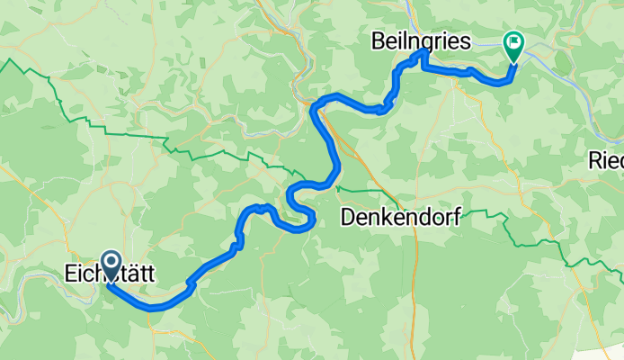
Modèle d’itinéraire
De Eichstätt à Dietfurt

- 2 h 58 min
- Durée
- 50,8 km
- Distance
- 579 m
- Montée
- 608 m
- Descente
- 17,2 km/h
- Vit. moyenne
- 549 m
- Altitude max.
This ride takes you from the charming university town of Eichstätt to the small historic town of Dietfurt, covering a bit over 50 km. You’ll climb and descend through scenic valleys and rolling hills, passing through the heart of the Altmühltal Nature Park. About 90% of this tour is on smooth, paved surfaces, so your tires (and you) will have a smooth time, but watch for a few gravel stretches—perfect for shaking up the ride a bit!
Eichstätt is known for its baroque architecture and stunning location on the Altmühl River, while Dietfurt, nicknamed "Bavarian China" because of its unique carnival, is a lovely spot to wind down. The route is mostly on quiet country roads and tracks, with only short stints on more trafficked roads. Expect some ups and downs—both climbing and descent add up to a good workout! Pack a picnic and take your time exploring the scenery, especially if you’re a fan of riverside vistas and forested trails.
Communauté
Meilleurs utilisateurs dans cette région


De notre communauté
Les meilleurs itinéraires à vélo de Eichstätt à Dietfurt
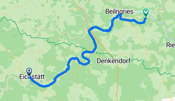
Eichstätt - Dietfurt
Itinéraire à vélo à Eichstätt, Bavière, Allemagne
- 52,6 km
- Distance
- 393 m
- Montée
- 416 m
- Descente

12-05-16 Bayern: Eichstätt (Altmühltal-Radweg)-Beilngries-Dietfurt-Deising
Itinéraire à vélo à Eichstätt, Bavière, Allemagne
- 65,4 km
- Distance
- 186 m
- Montée
- 236 m
- Descente
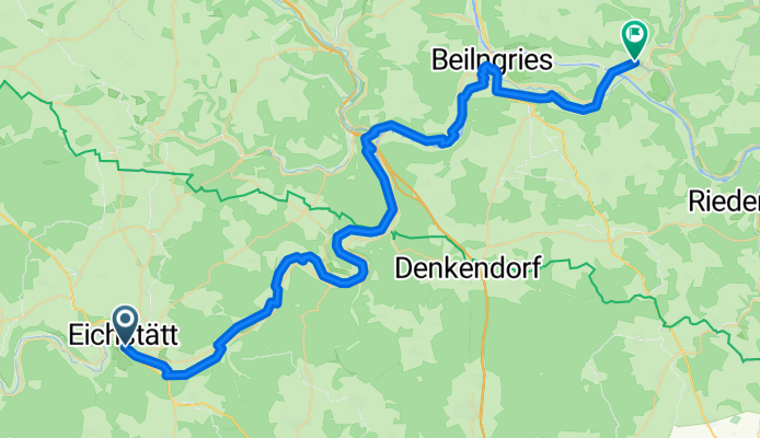
Eichstätt - Dietfurt
Itinéraire à vélo à Eichstätt, Bavière, Allemagne
- 53,6 km
- Distance
- 391 m
- Montée
- 440 m
- Descente
3. etape Eichstatt - Dietfurt an der Altmuhl
Itinéraire à vélo à Eichstätt, Bavière, Allemagne
- 56,9 km
- Distance
- 326 m
- Montée
- 353 m
- Descente

ALtmühltal 2
Itinéraire à vélo à Eichstätt, Bavière, Allemagne
- 57,7 km
- Distance
- 344 m
- Montée
- 365 m
- Descente

NAR_6
Itinéraire à vélo à Eichstätt, Bavière, Allemagne
- 45,1 km
- Distance
- 335 m
- Montée
- 355 m
- Descente

Eichstätt Etappe 5
Itinéraire à vélo à Eichstätt, Bavière, Allemagne
- 44,9 km
- Distance
- 168 m
- Montée
- 198 m
- Descente
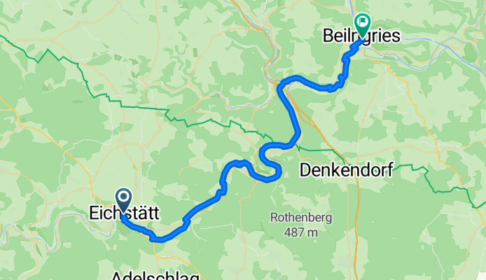
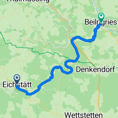
Eichstätt-Beilngries
Itinéraire à vélo à Eichstätt, Bavière, Allemagne
- 45,5 km
- Distance
- 277 m
- Montée
- 305 m
- Descente

Ostenstraße 10, Eichstätt nach Innerer Graben 20, Beilngries
Itinéraire à vélo à Eichstätt, Bavière, Allemagne
- 49,1 km
- Distance
- 241 m
- Montée
- 262 m
- Descente

Altmühl Eichstätt-Dietfurt
Itinéraire à vélo à Eichstätt, Bavière, Allemagne
- 56,5 km
- Distance
- 152 m
- Montée
- 219 m
- Descente

D8 Eichstätt to Dietfurt (Germany)
Itinéraire à vélo à Eichstätt, Bavière, Allemagne
- 59,4 km
- Distance
- 3 268 m
- Montée
- 3 268 m
- Descente

Altmuhl-g4
Itinéraire à vélo à Eichstätt, Bavière, Allemagne
- 50,1 km
- Distance
- 137 m
- Montée
- 160 m
- Descente
Découvrez plus d'itinéraires
 ALtmühltal 2
- Distance
- 57,7 km
- Montée
- 344 m
- Descente
- 365 m
- Emplacement
- Eichstätt, Bavière, Allemagne
 NAR_6
NAR_6- Distance
- 45,1 km
- Montée
- 335 m
- Descente
- 355 m
- Emplacement
- Eichstätt, Bavière, Allemagne
 Eichstätt Etappe 5
- Distance
- 44,9 km
- Montée
- 168 m
- Descente
- 198 m
- Emplacement
- Eichstätt, Bavière, Allemagne
 Eichstätt-Beilngries
- Distance
- 45,5 km
- Montée
- 277 m
- Descente
- 305 m
- Emplacement
- Eichstätt, Bavière, Allemagne
 Ostenstraße 10, Eichstätt nach Innerer Graben 20, Beilngries
- Distance
- 49,1 km
- Montée
- 241 m
- Descente
- 262 m
- Emplacement
- Eichstätt, Bavière, Allemagne
 Altmühl Eichstätt-Dietfurt
- Distance
- 56,5 km
- Montée
- 152 m
- Descente
- 219 m
- Emplacement
- Eichstätt, Bavière, Allemagne
 D8 Eichstätt to Dietfurt (Germany)
- Distance
- 59,4 km
- Montée
- 3 268 m
- Descente
- 3 268 m
- Emplacement
- Eichstätt, Bavière, Allemagne
 Altmuhl-g4
- Distance
- 50,1 km
- Montée
- 137 m
- Descente
- 160 m
- Emplacement
- Eichstätt, Bavière, Allemagne
Itinéraires vers Dietfurt
Excursion à vélo d’une journée de
Berching à Dietfurt
Excursion à vélo d’une journée de
Ratisbonne à Dietfurt