

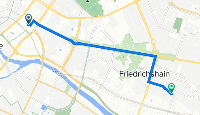
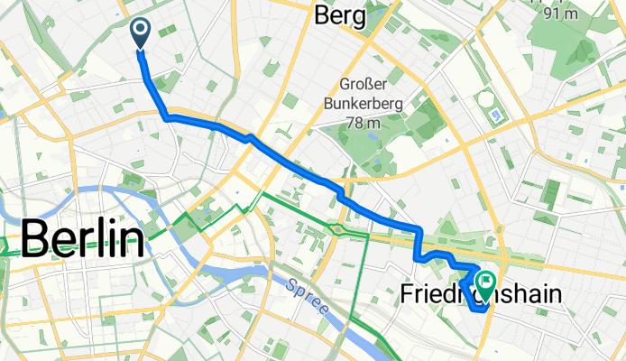
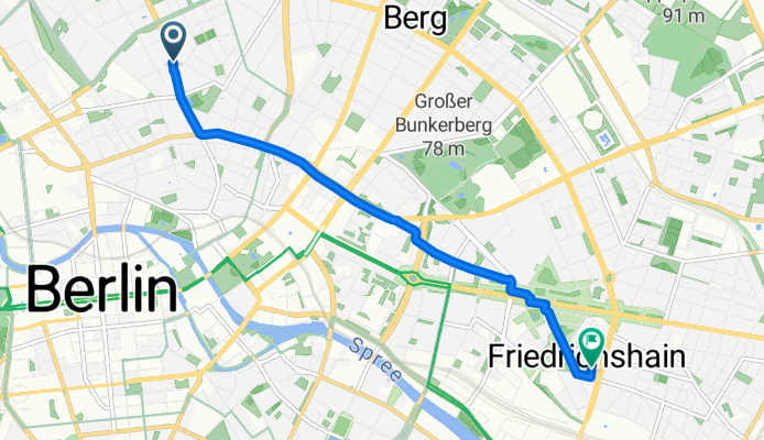
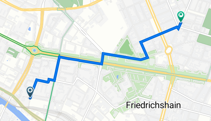
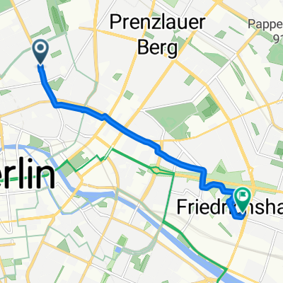
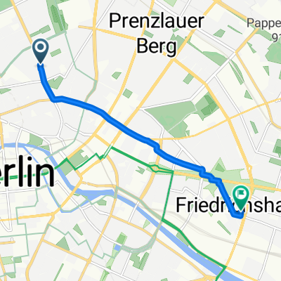
Sortie rapide à vélo de Berlin à Berlin-Friedrichshain
Personnalise ton propre itinéraire à partir de notre modèle ou découvre comment notre communauté préfère rouler de Berlin à Berlin-Friedrichshain.
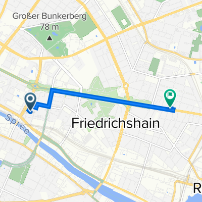
Modèle d’itinéraire
De Berlin à Berlin-Friedrichshain

- 20 min
- Durée
- 5,6 km
- Distance
- 20 m
- Montée
- 17 m
- Descente
- 16,4 km/h
- Vit. moyenne
- 53 m
- Altitude max.
A quick, mostly flat spin from central Berlin to Friedrichshain. Roll out from Mitte near Museum Island and the TV Tower, then point your bars east toward Alexanderplatz. From there, hop onto the broad bike lanes along Karl-Marx-Allee—classic 1950s boulevard riding past grand facades and big open squares like Strausberger Platz. It’s about 5.6 km overall, with just a gentle 20 m of up and 17 m down, so it feels easy.
The route sticks to quiet streets and proper cycleways for the most part, all paved—mostly smooth asphalt with a few stretches of Berlin-style paving stones on side streets. Stay north of the Spree the whole way, and watch for tram tracks near intersections.
Finish in Friedrichshain, known for its cafes, street art, and lively nights around Boxi (Boxhagener Platz) and the RAW-Gelände. Fun fact: Karl-Marx-Allee was once East Berlin’s showpiece, built as a “Stalinist boulevard” in the 1950s.
Communauté
Meilleurs utilisateurs dans cette région

De notre communauté
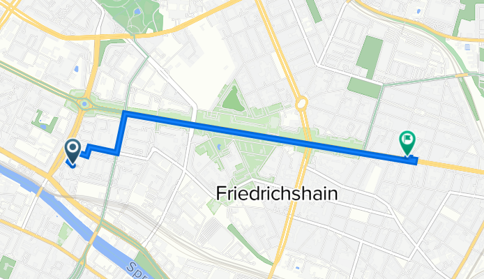
Les meilleurs itinéraires à vélo de Berlin à Berlin-Friedrichshain

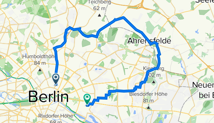
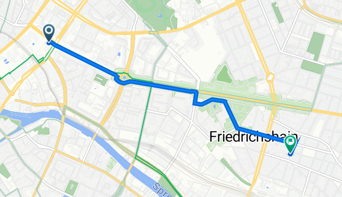
Berlijn Dag 1 Etappe 2
Itinéraire à vélo à Berlin, Ville-État de Berlin, Allemagne
- 16,9 km
- Distance
- 51 m
- Montée
- 60 m
- Descente
Amtsgericht - hacketour-course O-burg velten spandau havelrunde stadler unter den Linden Keirin bikemap
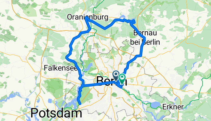
Itinéraire à vélo à Berlin, Ville-État de Berlin, Allemagne
- 145,1 km
- Distance
- 191 m
- Montée
- 194 m
- Descente

Berlin deel 3
Itinéraire à vélo à Berlin, Ville-État de Berlin, Allemagne
- 16,7 km
- Distance
- 68 m
- Montée
- 79 m
- Descente
First route
Itinéraire à vélo à Berlin, Ville-État de Berlin, Allemagne
- 35,9 km
- Distance
- 39 m
- Montée
- 45 m
- Descente
Greifswalder Straße, Berlin nach Hildegard-Jadamowitz-Straße, Berlin
Itinéraire à vélo à Berlin, Ville-État de Berlin, Allemagne
- 2,8 km
- Distance
- 6 m
- Montée
- 13 m
- Descente
Alexanderplatz, Berlin to Simplonstraße 18, Berlin
Itinéraire à vélo à Berlin, Ville-État de Berlin, Allemagne
- 4,1 km
- Distance
- 20 m
- Montée
- 17 m
- Descente
Brunnenstraße, Berlin nach Kopernikusstraße, Berlin
Itinéraire à vélo à Berlin, Ville-État de Berlin, Allemagne
- 6 km
- Distance
- 7 m
- Montée
- 16 m
- Descente
Restful route
Itinéraire à vélo à Berlin, Ville-État de Berlin, Allemagne
- 3,6 km
- Distance
- 37 m
- Montée
- 36 m
- Descente
Platz der Vereinten Nationen 1–2, Berlin a Neue Bahnhofstraße 16, Berlin
Itinéraire à vélo à Berlin, Ville-État de Berlin, Allemagne
- 4 km
- Distance
- 11 m
- Montée
- 9 m
- Descente
Brunnenstraße, Berlin nach Kopernikusstraße, Berlin
Itinéraire à vélo à Berlin, Ville-État de Berlin, Allemagne
- 5 km
- Distance
- 6 m
- Montée
- 14 m
- Descente
Krautstraße 34, Berlin nach Thaerstraße 26, Berlin
Itinéraire à vélo à Berlin, Ville-État de Berlin, Allemagne
- 2,8 km
- Distance
- 16 m
- Montée
- 0 m
- Descente
Krautstraße 26, Berlin nach Frankfurter Allee 53, Berlin
Itinéraire à vélo à Berlin, Ville-État de Berlin, Allemagne
- 3,2 km
- Distance
- 25 m
- Montée
- 18 m
- Descente
Découvrez plus d'itinéraires
 Greifswalder Straße, Berlin nach Hildegard-Jadamowitz-Straße, Berlin
- Distance
- 2,8 km
- Montée
- 6 m
- Descente
- 13 m
- Emplacement
- Berlin, Ville-État de Berlin, Allemagne
 Alexanderplatz, Berlin to Simplonstraße 18, Berlin
- Distance
- 4,1 km
- Montée
- 20 m
- Descente
- 17 m
- Emplacement
- Berlin, Ville-État de Berlin, Allemagne
 Brunnenstraße, Berlin nach Kopernikusstraße, Berlin
- Distance
- 6 km
- Montée
- 7 m
- Descente
- 16 m
- Emplacement
- Berlin, Ville-État de Berlin, Allemagne
 Restful route
- Distance
- 3,6 km
- Montée
- 37 m
- Descente
- 36 m
- Emplacement
- Berlin, Ville-État de Berlin, Allemagne
 Platz der Vereinten Nationen 1–2, Berlin a Neue Bahnhofstraße 16, Berlin
- Distance
- 4 km
- Montée
- 11 m
- Descente
- 9 m
- Emplacement
- Berlin, Ville-État de Berlin, Allemagne
 Brunnenstraße, Berlin nach Kopernikusstraße, Berlin
- Distance
- 5 km
- Montée
- 6 m
- Descente
- 14 m
- Emplacement
- Berlin, Ville-État de Berlin, Allemagne
 Krautstraße 34, Berlin nach Thaerstraße 26, Berlin
- Distance
- 2,8 km
- Montée
- 16 m
- Descente
- 0 m
- Emplacement
- Berlin, Ville-État de Berlin, Allemagne
 Krautstraße 26, Berlin nach Frankfurter Allee 53, Berlin
- Distance
- 3,2 km
- Montée
- 25 m
- Descente
- 18 m
- Emplacement
- Berlin, Ville-État de Berlin, Allemagne
Itinéraires depuis Berlin
Sortie rapide à vélo de
Berlin à Prenzlauer Berg
Sortie rapide à vélo de
Berlin à Mitte
Itinéraires vers Berlin-Friedrichshain
Sortie rapide à vélo de
Treptow à Berlin-Friedrichshain
Sortie rapide à vélo de
Berlin-Gesundbrunnen à Berlin-Friedrichshain