
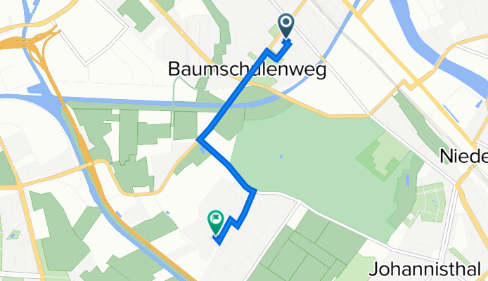
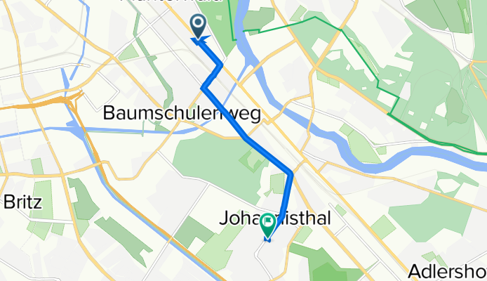
Sortie rapide à vélo de Baumschulenweg à Johannisthal
Personnalise ton propre itinéraire à partir de notre modèle ou découvre comment notre communauté préfère rouler de Baumschulenweg à Johannisthal.
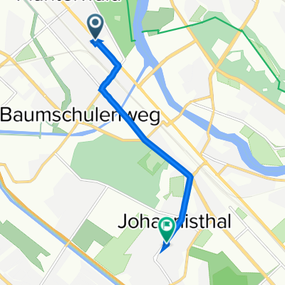
Modèle d’itinéraire
De Baumschulenweg à Johannisthal
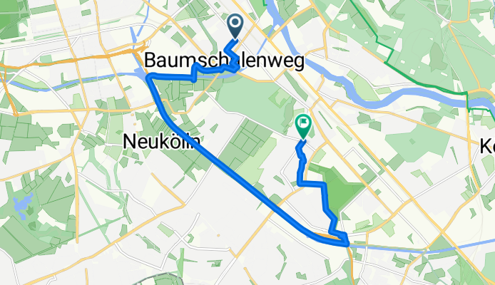
- 39 min
- Durée
- 12,2 km
- Distance
- 8 m
- Montée
- 9 m
- Descente
- 18,9 km/h
- Vit. moyenne
- 40 m
- Altitude max.
This scenic route takes you from Baumschulenweg, a leafy neighborhood in southeast Berlin known for its historic tree nurseries (“Baumschule” means tree nursery!), down to Johannisthal—famous for its early aviation history. The ride is about 12 km, mostly on lovely, paved paths (no major hills!), making it a super chill outing whether you’re commuting or just out for fun.
You’ll start off near the Spree and wind your way past parks and quiet streets, with over 90% of the ride on smooth asphalt and almost no busy roads to worry about. It’s great for soaking up the local vibe—expect to pass a few green spaces, and you might even spot one of the area’s old nurseries or see a nod to Johannisthal’s airfield past. With the ride being mostly flat and traffic-light, it’s perfect for a relaxed afternoon spin or a no-stress commute.
Grab a coffee to go in Baumschulenweg, coast south, and enjoy a mellow, well-maintained path ending in the historic heart of Johannisthal!
Communauté
Meilleurs utilisateurs dans cette région


De notre communauté
Les meilleurs itinéraires à vélo de Baumschulenweg à Johannisthal
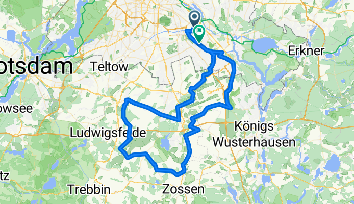
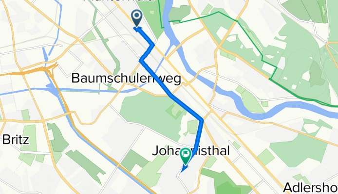
AdW-Sonntagsrunde, 19.7.2020
Itinéraire à vélo à Baumschulenweg, Ville-État de Berlin, Allemagne
- 95,3 km
- Distance
- 105 m
- Montée
- 107 m
- Descente
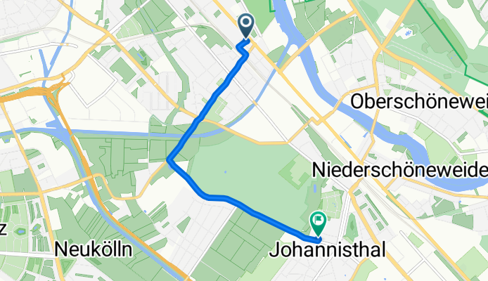
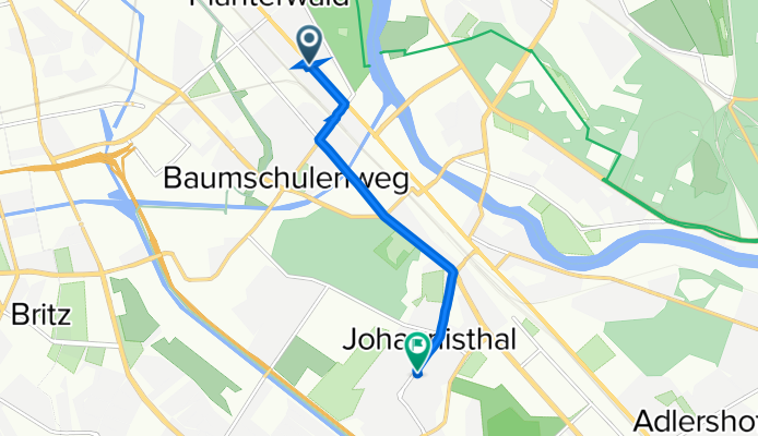
Papa
Itinéraire à vélo à Baumschulenweg, Ville-État de Berlin, Allemagne
- 4,1 km
- Distance
- 4 m
- Montée
- 7 m
- Descente
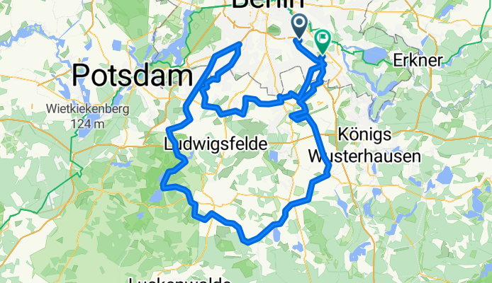
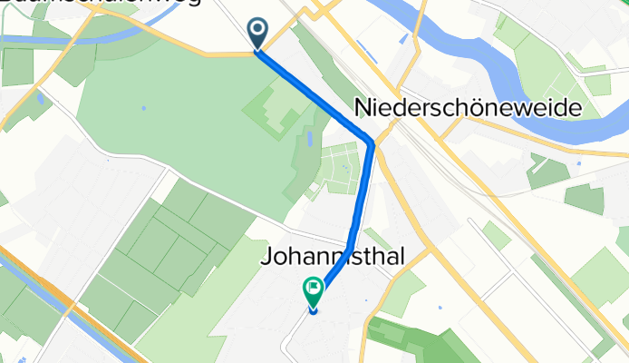
Straße nach Hermann-Dorner-Allee
Itinéraire à vélo à Baumschulenweg, Ville-État de Berlin, Allemagne
- 159,1 km
- Distance
- 389 m
- Montée
- 392 m
- Descente
Baumschulenstraße 29, Berlin nach Treptow-Köpenick, Berlin
Itinéraire à vélo à Baumschulenweg, Ville-État de Berlin, Allemagne
- 2,6 km
- Distance
- 0 m
- Montée
- 3 m
- Descente

Köpenicker Landstraße 164, Berlin nach Sterndamm 103, Berlin
Itinéraire à vélo à Baumschulenweg, Ville-État de Berlin, Allemagne
- 4,4 km
- Distance
- 3 m
- Montée
- 4 m
- Descente

Köpenicker Landstraße 164, Berlin nach Sterndamm 103, Berlin
Itinéraire à vélo à Baumschulenweg, Ville-État de Berlin, Allemagne
- 4,5 km
- Distance
- 15 m
- Montée
- 21 m
- Descente

Köpenicker Landstraße 164, Berlin nach Sterndamm 103, Berlin
Itinéraire à vélo à Baumschulenweg, Ville-État de Berlin, Allemagne
- 4,4 km
- Distance
- 10 m
- Montée
- 14 m
- Descente
Südostallee 65, Berlin nach Sterndamm 103, Berlin
Itinéraire à vélo à Baumschulenweg, Ville-État de Berlin, Allemagne
- 2,2 km
- Distance
- 11 m
- Montée
- 6 m
- Descente
Köpenicker Landstraße 164, Berlin nach Sterndamm 103, Berlin
Itinéraire à vélo à Baumschulenweg, Ville-État de Berlin, Allemagne
- 4,4 km
- Distance
- 8 m
- Montée
- 9 m
- Descente
Köpenicker Landstraße 164, Berlin nach Sterndamm 103, Berlin
Itinéraire à vélo à Baumschulenweg, Ville-État de Berlin, Allemagne
- 4,5 km
- Distance
- 14 m
- Montée
- 15 m
- Descente

Köpenicker Landstraße 164, Berlin nach Sterndamm 103, Berlin
Itinéraire à vélo à Baumschulenweg, Ville-État de Berlin, Allemagne
- 4,4 km
- Distance
- 7 m
- Montée
- 9 m
- Descente
B96a 164, Berlin nach Johannes-Werner-Straße 22, Berlin
Itinéraire à vélo à Baumschulenweg, Ville-État de Berlin, Allemagne
- 4,5 km
- Distance
- 36 m
- Montée
- 38 m
- Descente
Découvrez plus d'itinéraires
 Köpenicker Landstraße 164, Berlin nach Sterndamm 103, Berlin
- Distance
- 4,4 km
- Montée
- 3 m
- Descente
- 4 m
- Emplacement
- Baumschulenweg, Ville-État de Berlin, Allemagne
 Köpenicker Landstraße 164, Berlin nach Sterndamm 103, Berlin
- Distance
- 4,5 km
- Montée
- 15 m
- Descente
- 21 m
- Emplacement
- Baumschulenweg, Ville-État de Berlin, Allemagne
 Köpenicker Landstraße 164, Berlin nach Sterndamm 103, Berlin
- Distance
- 4,4 km
- Montée
- 10 m
- Descente
- 14 m
- Emplacement
- Baumschulenweg, Ville-État de Berlin, Allemagne
 Südostallee 65, Berlin nach Sterndamm 103, Berlin
- Distance
- 2,2 km
- Montée
- 11 m
- Descente
- 6 m
- Emplacement
- Baumschulenweg, Ville-État de Berlin, Allemagne
 Köpenicker Landstraße 164, Berlin nach Sterndamm 103, Berlin
- Distance
- 4,4 km
- Montée
- 8 m
- Descente
- 9 m
- Emplacement
- Baumschulenweg, Ville-État de Berlin, Allemagne
 Köpenicker Landstraße 164, Berlin nach Sterndamm 103, Berlin
- Distance
- 4,5 km
- Montée
- 14 m
- Descente
- 15 m
- Emplacement
- Baumschulenweg, Ville-État de Berlin, Allemagne
 Köpenicker Landstraße 164, Berlin nach Sterndamm 103, Berlin
- Distance
- 4,4 km
- Montée
- 7 m
- Descente
- 9 m
- Emplacement
- Baumschulenweg, Ville-État de Berlin, Allemagne
 B96a 164, Berlin nach Johannes-Werner-Straße 22, Berlin
- Distance
- 4,5 km
- Montée
- 36 m
- Descente
- 38 m
- Emplacement
- Baumschulenweg, Ville-État de Berlin, Allemagne