
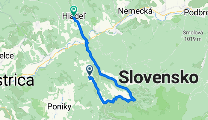
Excursion à vélo d’une journée de Hrochoť à Banská Bystrica
Personnalise ton propre itinéraire à partir de notre modèle ou découvre comment notre communauté préfère rouler de Hrochoť à Banská Bystrica.
Modèle d’itinéraire
De Hrochoť à Banská Bystrica

- 1 h 39 min
- Durée
- 24,4 km
- Distance
- 483 m
- Montée
- 755 m
- Descente
- 14,8 km/h
- Vit. moyenne
- 631 m
- Altitude max.
Get ready for a scenic ride starting in the charming village of Hrochoť, perched on the edge of the Poľana foothills. Your journey takes you roughly 24 km north-west to Banská Bystrica, a city with a rich mining and World War II history. The route is a nice blend—expect rolling climbs totaling about 480 meters, followed by some exhilarating descents (plunging almost 755 meters!) as you drop into the Hron valley.
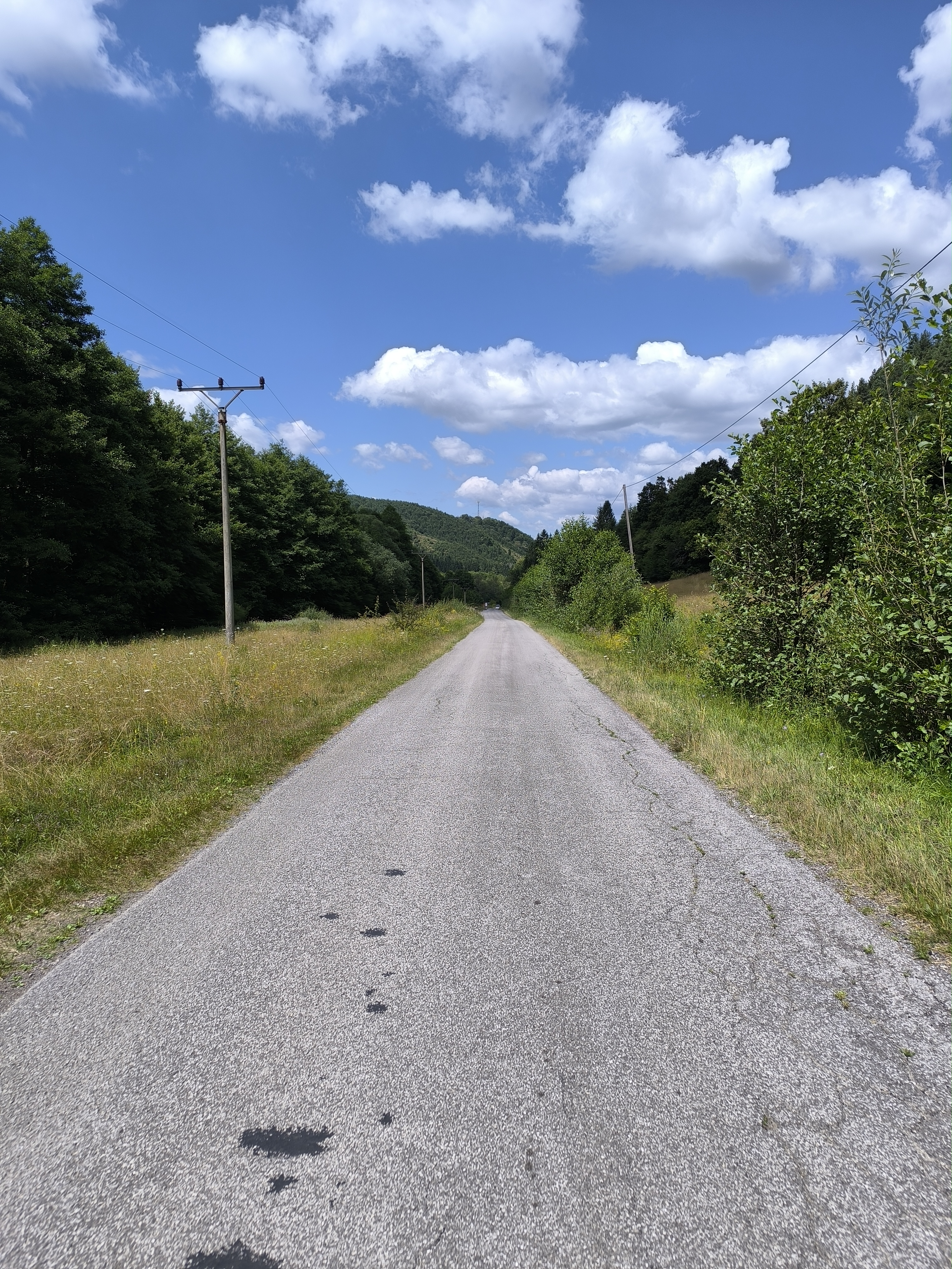
Most of the ride is on paved or asphalt roads, but keep your eyes peeled: about 17% is gravel or mixed unpaved tracks—nothing too technical, just enough to keep things interesting. You’ll wind through peaceful countryside, forest patches, and a few stretches where you might have the road all to yourself.
Once you roll into Banská Bystrica’s lively center, grab a coffee and soak up the vibrant, historic atmosphere. Whether you’re a weekend explorer or a local out for a spin, this ride delivers both natural beauty and a hit of Slovakian culture.
Communauté
Meilleurs utilisateurs dans cette région


De notre communauté
Les meilleurs itinéraires à vélo de Hrochoť à Banská Bystrica
Hiadeľ, Ľubietová, Povrazník do Hiadeľ
Itinéraire à vélo à Hrochoť, Banská Bystrica, Slovaquie
- 25,4 km
- Distance
- 308 m
- Montée
- 414 m
- Descente

Medzibrod-Donovaly
Itinéraire à vélo à Hrochoť, Banská Bystrica, Slovaquie
- 32 km
- Distance
- 1 132 m
- Montée
- 554 m
- Descente

kyslinky-strelniky-povraznik-salkova
Itinéraire à vélo à Hrochoť, Banská Bystrica, Slovaquie
- 40,5 km
- Distance
- 704 m
- Montée
- 1 091 m
- Descente

Molca - Povraznik
Itinéraire à vélo à Hrochoť, Banská Bystrica, Slovaquie
- 14,8 km
- Distance
- 394 m
- Montée
- 578 m
- Descente

Kyslinky - očová - Veľ. Lúka - BB.
Itinéraire à vélo à Hrochoť, Banská Bystrica, Slovaquie
- 49,8 km
- Distance
- 463 m
- Montée
- 842 m
- Descente

Kyslinky - BB
Itinéraire à vélo à Hrochoť, Banská Bystrica, Slovaquie
- 45,3 km
- Distance
- 626 m
- Montée
- 1 005 m
- Descente

Strelniky ponická huta lukavica mic lukly vlkanova sasova
Itinéraire à vélo à Hrochoť, Banská Bystrica, Slovaquie
- 55,1 km
- Distance
- 530 m
- Montée
- 743 m
- Descente

Povraznik - Slovenska Lubca
Itinéraire à vélo à Hrochoť, Banská Bystrica, Slovaquie
- 10,5 km
- Distance
- 126 m
- Montée
- 405 m
- Descente

2427, Lučatín až Rudohorská 13–25, Banská Bystrica
Itinéraire à vélo à Hrochoť, Banská Bystrica, Slovaquie
- 16,9 km
- Distance
- 166 m
- Montée
- 147 m
- Descente

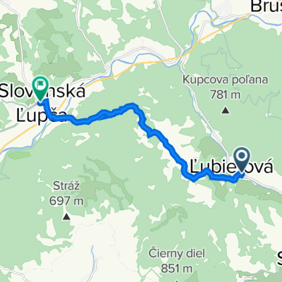
Z Povrazníka do Slovenskej Ľupče
Itinéraire à vélo à Hrochoť, Banská Bystrica, Slovaquie
- 10,5 km
- Distance
- 136 m
- Montée
- 414 m
- Descente

Brusno nach Bellušova 23
Itinéraire à vélo à Hrochoť, Banská Bystrica, Slovaquie
- 21,2 km
- Distance
- 121 m
- Montée
- 189 m
- Descente

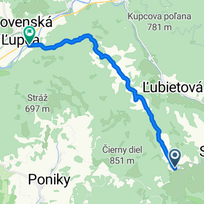
Ľubietová do Námestie SNP 5
Itinéraire à vélo à Hrochoť, Banská Bystrica, Slovaquie
- 9,3 km
- Distance
- 268 m
- Montée
- 362 m
- Descente
Découvrez plus d'itinéraires
 Kyslinky - očová - Veľ. Lúka - BB.
- Distance
- 49,8 km
- Montée
- 463 m
- Descente
- 842 m
- Emplacement
- Hrochoť, Banská Bystrica, Slovaquie
 Kyslinky - BB
- Distance
- 45,3 km
- Montée
- 626 m
- Descente
- 1 005 m
- Emplacement
- Hrochoť, Banská Bystrica, Slovaquie
 Strelniky ponická huta lukavica mic lukly vlkanova sasova
- Distance
- 55,1 km
- Montée
- 530 m
- Descente
- 743 m
- Emplacement
- Hrochoť, Banská Bystrica, Slovaquie
 Povraznik - Slovenska Lubca
- Distance
- 10,5 km
- Montée
- 126 m
- Descente
- 405 m
- Emplacement
- Hrochoť, Banská Bystrica, Slovaquie
 2427, Lučatín až Rudohorská 13–25, Banská Bystrica
- Distance
- 16,9 km
- Montée
- 166 m
- Descente
- 147 m
- Emplacement
- Hrochoť, Banská Bystrica, Slovaquie
 Z Povrazníka do Slovenskej Ľupče
- Distance
- 10,5 km
- Montée
- 136 m
- Descente
- 414 m
- Emplacement
- Hrochoť, Banská Bystrica, Slovaquie
 Brusno nach Bellušova 23
- Distance
- 21,2 km
- Montée
- 121 m
- Descente
- 189 m
- Emplacement
- Hrochoť, Banská Bystrica, Slovaquie
 Ľubietová do Námestie SNP 5
- Distance
- 9,3 km
- Montée
- 268 m
- Descente
- 362 m
- Emplacement
- Hrochoť, Banská Bystrica, Slovaquie
Itinéraires vers Banská Bystrica
Excursion à vélo d’une journée de
Zvolen à Banská Bystrica
Excursion à vélo d’une journée de
Brezno à Banská Bystrica