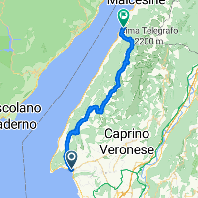
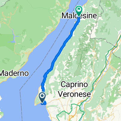
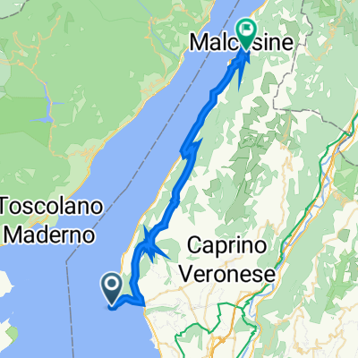
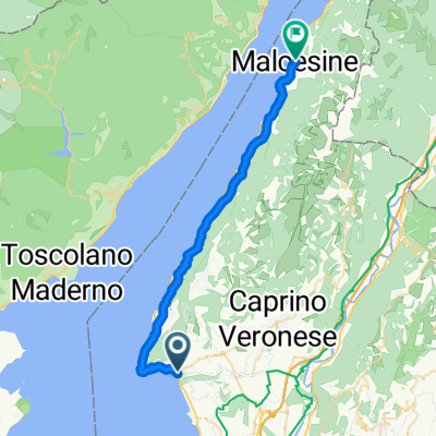
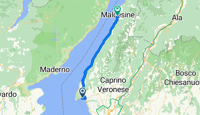
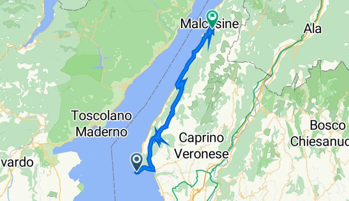
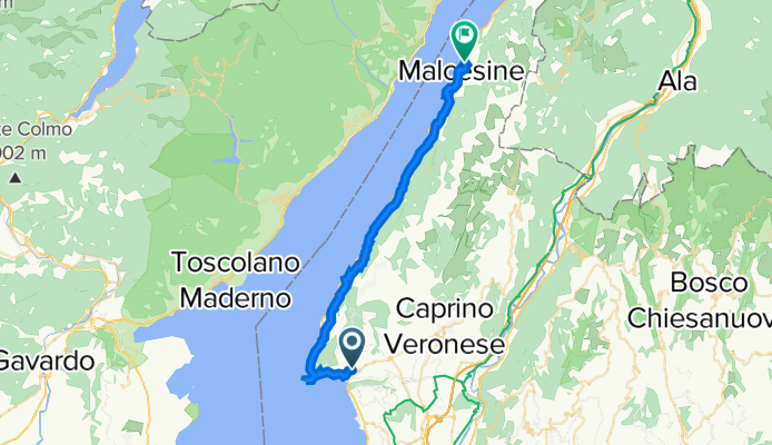
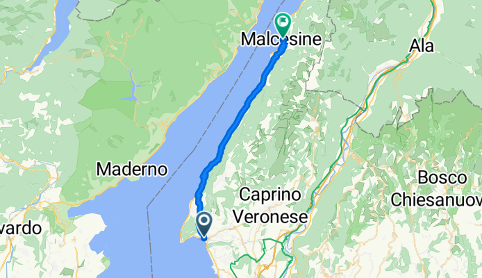
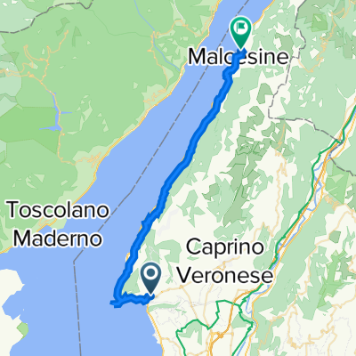
À quoi pourrait ressembler le cyclisme dans la Garda.
À quoi pourrait ressembler le cyclisme dans la Malcesine.

Excursion à vélo d’une journée de Garda à Malcesine

Personnalise ton propre itinéraire à partir de notre modèle ou découvre comment notre communauté préfère rouler de Garda à Malcesine.

Modèle d’itinéraire

De Garda à Malcesine

2 h 49 min
Durée
37,1 km
Distance
992 m
Montée
990 m
Descente
13,2 km/h
Vit. moyenne
401 m
Altitude max.

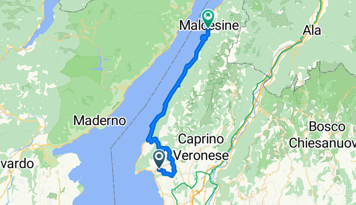
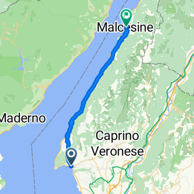
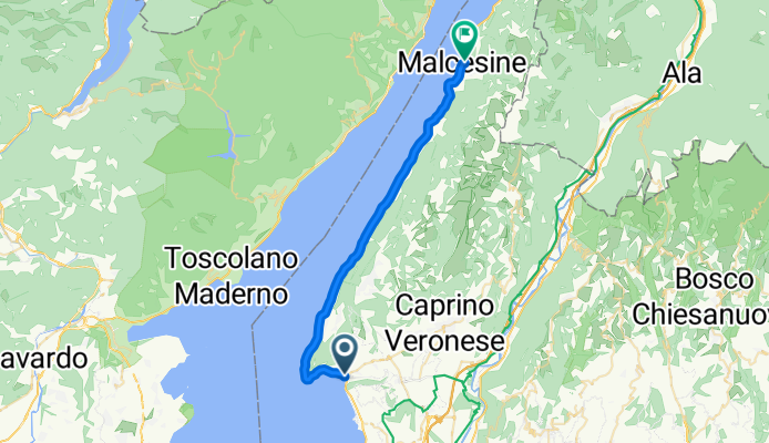
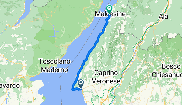
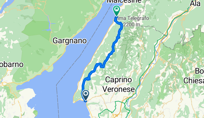
Roll out from Garda’s pretty bay and promenade, with the Rocca di Garda looming above, and trace the east shore of Lake Garda north toward Malcesine. It’s about 37 km with roughly 1,000 m of climbing—mostly short, punchy rises as the route slips up into olive terraces and back down to the water. Expect mostly paved surfaces with a few brief gravel or cobbled bits, plus a mix of quiet back roads and lakeside paths; there are occasional stretches on the busier Gardesana road, so lights are handy for tunnels.

You’ll pass Torri del Benaco (worth a pause for its Scaliger castle and harbor) and the hamlets of Brenzone sul Garda, where promenades and pebbly beaches tempt a quick swim or gelato stop. The views across to Monte Baldo keep getting bigger as you near Malcesine.

Finish in Malcesine’s postcard lanes beneath the dramatic Scaliger Castle. If you’ve still got legs, the cable car to Monte Baldo offers a spectacular victory lap; otherwise, linger by the harbor—this town lives for sailing and sunsets.

Communauté

Meilleurs utilisateurs dans cette région

De notre communauté

Les meilleurs itinéraires à vélo de Garda à Malcesine

5.5 Garda to Malcesine

Itinéraire à vélo à Garda, Vénétie, Italie

29,4 km
Distance
925 m
Montée
896 m
Descente

Garda - Malcesine

Itinéraire à vélo à Garda, Vénétie, Italie

Nad brzegiem jeziora z Garda do Malcesine, wyciągmiem na onte Baldo i zdjazd z powrotem do Garda.
28,2 km
Distance
108 m
Montée
85 m
Descente

452 Garda Malcesine Panoramatour

Itinéraire à vélo à Garda, Vénétie, Italie

29,2 km
Distance
511 m
Montée
513 m
Descente

MB Tour Garda - Malcesine CLONED FROM ROUTE 83046

Itinéraire à vélo à Garda, Vénétie, Italie

Zwischen Garda und Malcesine verläuft eine Panoramatour der besonderen Art. 200 Meter über dem Seeufer bietet die Strecke welliges Gelände auf Karrenwegen, durch Olivenhaine und durch alte Dörfer. Zurück nach Garda geht‘s mit dem Schiff.
30 km
Distance
577 m
Montée
560 m
Descente

Rød rute 3

Itinéraire à vélo à Garda, Vénétie, Italie

32,7 km
Distance
750 m
Montée
748 m
Descente

MB Tour Garda - Malcesine

Itinéraire à vélo à Garda, Vénétie, Italie

<span style="font-size: small; color: #000000; font-family: Times New Roman;">Zwischen Garda und Malcesine verläuft eine Panoramatour der besonderen Art. 200 Meter über dem Seeufer bietet die Strecke welliges Gelände auf Karrenwegen, durch Olivenhaine und durch alte Dörfer…
30 km
Distance
577 m
Montée
560 m
Descente

Garda malcesine

Itinéraire à vélo à Garda, Vénétie, Italie

28,5 km
Distance
1 064 m
Montée
1 063 m
Descente

Via Guglielmo Marconi nach Via Gardesana

Itinéraire à vélo à Garda, Vénétie, Italie

28,4 km
Distance
770 m
Montée
752 m
Descente

Vigilio

Itinéraire à vélo à Garda, Vénétie, Italie

32,6 km
Distance
981 m
Montée
779 m
Descente

Rød rute 3

Itinéraire à vélo à Garda, Vénétie, Italie

32,9 km
Distance
735 m
Montée
734 m
Descente

Garda - Malcesine Panoramica

Itinéraire à vélo à Garda, Vénétie, Italie

29,9 km
Distance
576 m
Montée
561 m
Descente

5.5 Garda to Malcesine

Itinéraire à vélo à Garda, Vénétie, Italie

29,4 km
Distance
925 m
Montée
896 m
Descente

Découvrez plus d'itinéraires