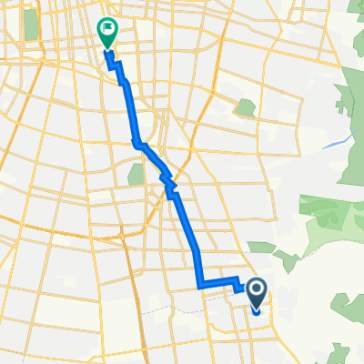


De Avenida Jorge Ross Ossa 246, Puente Alto a Obispo Orrego 681, Ñuñoa
- 17,6 km
- 61 m
- 229 m
- Puente Alto, Santiago, Chili

Personnalise ton propre itinéraire à partir de notre modèle ou découvre comment notre communauté préfère rouler de Puente Alto à Santiago.
Modèle d’itinéraire

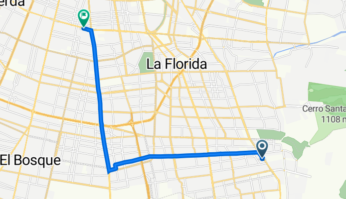
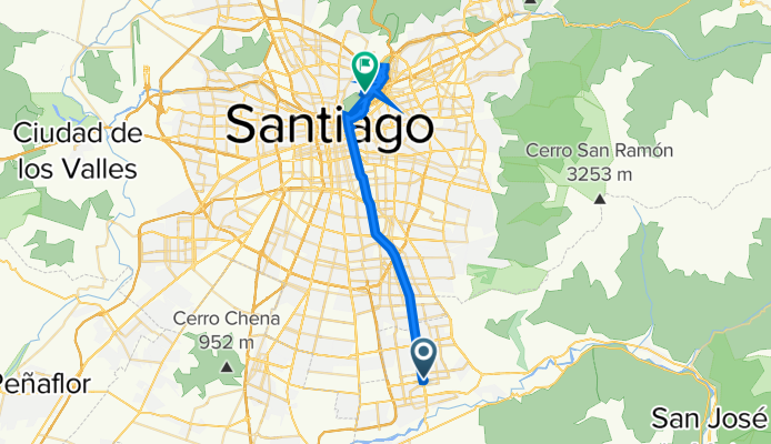
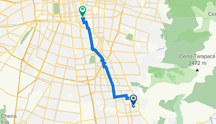
This route starts in Puente Alto, one of the largest and most vibrant communes in southern Santiago, perfect for getting a taste of authentic local life. You’ll head north for just under 25 km, mostly cruising along dedicated cycleways and some quieter city roads, making it a relaxed and mostly traffic-free journey.
There’s hardly any climbing—just a gentle descent into the heart of Santiago, so it’s very beginner-friendly. The path is almost entirely paved, rolling over comfortable asphalt and smooth concrete, with just a hint of busier roads near the city center. As you approach Santiago, you’ll notice how the city skyline rises up, framed by the distant Andes.
The ride ends in downtown Santiago, the lively capital of Chile, where culture, history, and great food await. Perfect for a half-day adventure, whether you’re commuting, sightseeing, or just exploring. Don’t forget to stop for a photo or two with the mountains in the background!
Communauté
De notre communauté
Itinéraire à vélo à Puente Alto, Santiago, Chili
Itinéraire à vélo à Puente Alto, Santiago, Chili
Itinéraire à vélo à Puente Alto, Santiago, Chili
Itinéraire à vélo à Puente Alto, Santiago, Chili
Itinéraire à vélo à Puente Alto, Santiago, Chili
Itinéraire à vélo à Puente Alto, Santiago, Chili
Itinéraire à vélo à Puente Alto, Santiago, Chili
Itinéraire à vélo à Puente Alto, Santiago, Chili
Excursion à vélo d’une journée de
À vélo de
Excursion à vélo d’une journée de
Excursion à vélo d’une journée de
À vélo de
À vélo de