
À vélo de Chiguayante à Concepción
Personnalise ton propre itinéraire à partir de notre modèle ou découvre comment notre communauté préfère rouler de Chiguayante à Concepción.
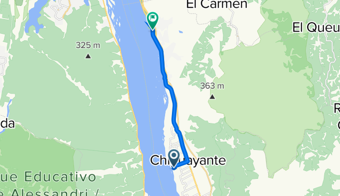
Modèle d’itinéraire
De Chiguayante à Concepción

- 1 h 4 min
- Durée
- 14,3 km
- Distance
- 55 m
- Montée
- 58 m
- Descente
- 13,5 km/h
- Vit. moyenne
- 38 m
- Altitude max.
Hop on your bike in Chiguayante, a relaxed suburb stretched along the banks of the Bío-Bío River, and make your way north to the energetic heart of Concepción. This ride is about 14 km—perfect for those looking for a mix of scenic riverside stretches, a bit of urban adventure, and a mostly gentle ride with just a bit of up and down (around 55 meters ascent).
The route is mostly on cycleways and some tracks, so you’ll be away from busy roads for most of the journey. Expect a mix of paved and concrete surfaces, though roughly a quarter is unpaved—nothing too rough, but something to keep in mind if you’re rolling on thinner tires.
Arriving in Concepción, you'll be entering one of Chile's liveliest university cities, famous for its music scene and laid-back parks like Parque Ecuador. Take a breather and explore the cafés or stroll through the main square—it's the perfect ending to a refreshing ride!
Communauté
Meilleurs utilisateurs dans cette région


De notre communauté
Les meilleurs itinéraires à vélo de Chiguayante à Concepción


Paseo 🚲
Itinéraire à vélo à Chiguayante, Región del Biobío, Chili
- 15,4 km
- Distance
- 459 m
- Montée
- 480 m
- Descente

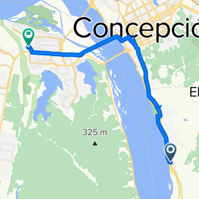
8 oriente-UCSC
Itinéraire à vélo à Chiguayante, Región del Biobío, Chili
- 13,3 km
- Distance
- 45 m
- Montée
- 27 m
- Descente

De Pasaje 4 5578, Chiguayante a Camino Einstein, Concepción
Itinéraire à vélo à Chiguayante, Región del Biobío, Chili
- 17,5 km
- Distance
- 470 m
- Montée
- 459 m
- Descente

De Avenida O'Higgins 1045, Chiguayante a Hospital Traumatológico - Roosevelt, Concepción
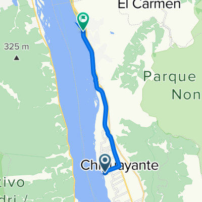
Itinéraire à vélo à Chiguayante, Región del Biobío, Chili
- 10,8 km
- Distance
- 49 m
- Montée
- 56 m
- Descente

De Ruta 160, San Pedro de la Paz a Lomas Coloradas, San Pedro de la Paz
Itinéraire à vélo à Chiguayante, Región del Biobío, Chili
- 3,1 km
- Distance
- 13 m
- Montée
- 16 m
- Descente

De Cno. A Chiguayante - Las Palmas / Poniente a Calle Diagonal Biobio 165, Concepción
Itinéraire à vélo à Chiguayante, Región del Biobío, Chili
- 13,4 km
- Distance
- 48 m
- Montée
- 53 m
- Descente

Ruta a Volcán Ollagüe
Itinéraire à vélo à Chiguayante, Región del Biobío, Chili
- 19,2 km
- Distance
- 145 m
- Montée
- 487 m
- Descente

De Manantial 9, Chiguayante a Hospital Traumatológico - Roosevelt, Concepción
Itinéraire à vélo à Chiguayante, Región del Biobío, Chili
- 11 km
- Distance
- 56 m
- Montée
- 57 m
- Descente

Lomas Coloradas-Cascada Escondia
Itinéraire à vélo à Chiguayante, Región del Biobío, Chili
- 10,3 km
- Distance
- 128 m
- Montée
- 348 m
- Descente

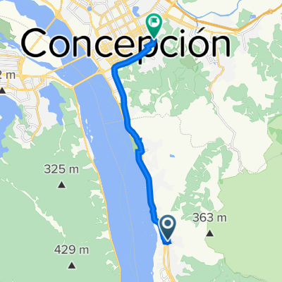
De Avenida Colon 4, Chiguayante a Hospital Traumatológico - Roosevelt, Concepción
Itinéraire à vélo à Chiguayante, Región del Biobío, Chili
- 10,7 km
- Distance
- 32 m
- Montée
- 38 m
- Descente
Pasaje 2 635, Chiguayante a Avenida Costanera, Chiguayante
Itinéraire à vélo à Chiguayante, Región del Biobío, Chili
- 8,3 km
- Distance
- 59 m
- Montée
- 77 m
- Descente

Ruta a Volcán Ollagüe
Itinéraire à vélo à Chiguayante, Región del Biobío, Chili
- 18,9 km
- Distance
- 86 m
- Montée
- 390 m
- Descente
Découvrez plus d'itinéraires
 De Ruta 160, San Pedro de la Paz a Lomas Coloradas, San Pedro de la Paz
- Distance
- 3,1 km
- Montée
- 13 m
- Descente
- 16 m
- Emplacement
- Chiguayante, Región del Biobío, Chili
 De Cno. A Chiguayante - Las Palmas / Poniente a Calle Diagonal Biobio 165, Concepción
- Distance
- 13,4 km
- Montée
- 48 m
- Descente
- 53 m
- Emplacement
- Chiguayante, Región del Biobío, Chili
 Ruta a Volcán Ollagüe
- Distance
- 19,2 km
- Montée
- 145 m
- Descente
- 487 m
- Emplacement
- Chiguayante, Región del Biobío, Chili
 De Manantial 9, Chiguayante a Hospital Traumatológico - Roosevelt, Concepción
- Distance
- 11 km
- Montée
- 56 m
- Descente
- 57 m
- Emplacement
- Chiguayante, Región del Biobío, Chili
 Lomas Coloradas-Cascada Escondia
- Distance
- 10,3 km
- Montée
- 128 m
- Descente
- 348 m
- Emplacement
- Chiguayante, Región del Biobío, Chili
 De Avenida Colon 4, Chiguayante a Hospital Traumatológico - Roosevelt, Concepción
- Distance
- 10,7 km
- Montée
- 32 m
- Descente
- 38 m
- Emplacement
- Chiguayante, Región del Biobío, Chili
 Pasaje 2 635, Chiguayante a Avenida Costanera, Chiguayante
- Distance
- 8,3 km
- Montée
- 59 m
- Descente
- 77 m
- Emplacement
- Chiguayante, Región del Biobío, Chili
 Ruta a Volcán Ollagüe
- Distance
- 18,9 km
- Montée
- 86 m
- Descente
- 390 m
- Emplacement
- Chiguayante, Región del Biobío, Chili
Itinéraires vers Concepción
Excursion à vélo d’une journée de
Talcahuano à Concepción