
Sortie rapide à vélo de Brookline à Jamaica Plain
Personnalise ton propre itinéraire à partir de notre modèle ou découvre comment notre communauté préfère rouler de Brookline à Jamaica Plain.
Modèle d’itinéraire
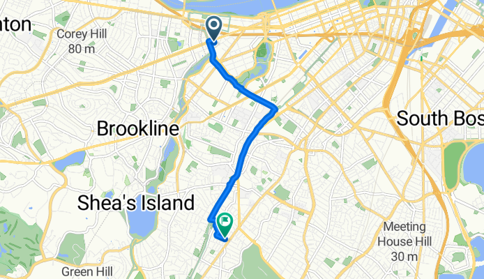
De Brookline à Jamaica Plain
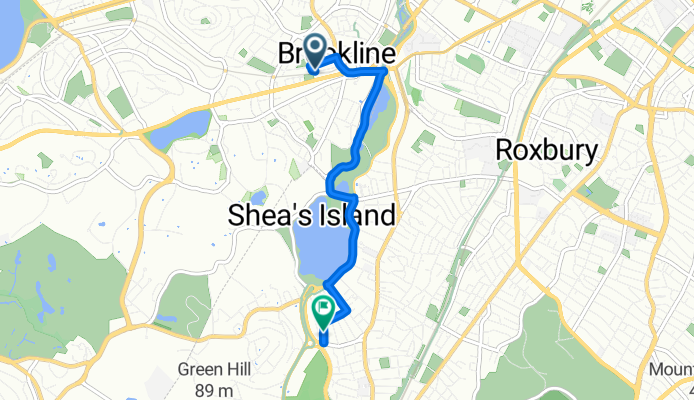
- 16 min
- Durée
- 4,2 km
- Distance
- 28 m
- Montée
- 17 m
- Descente
- 15,8 km/h
- Vit. moyenne
- 28 m
- Altitude max.
This is a super friendly ride from charming Brookline down to the heart of Jamaica Plain—perfect for a casual day out or a sunny commute. The route rolls over about 4 kilometers, mostly on smooth asphalt and well-maintained cycleways, so you can expect a comfortable, low-stress experience with not much traffic to worry about.
You'll leave behind Brookline's tree-lined streets and unique mix of historic homes and modern coffee shops, riding mostly on designated bike paths or quiet backstreets. Along the way, keep an eye out for leafy parks and some nice neighborhood views. The terrain is gentle, with only a mellow 28-meter ascent—barely enough to warm up your legs!
Your ride wraps up in Jamaica Plain, famous for its lively vibe, local eateries, and the nearby Arnold Arboretum—a great place for a stroll or a post-ride snack. With 90% of the journey on paved surfaces, this is an easy, enjoyable route for any cyclist looking to connect two of Boston’s coolest neighborhoods.
Communauté
Meilleurs utilisateurs dans cette région

De notre communauté
Les meilleurs itinéraires à vélo de Brookline à Jamaica Plain

Workflow
Itinéraire à vélo à Brookline, Massachusetts, États Unis
- 2,9 km
- Distance
- 42 m
- Montée
- 47 m
- Descente
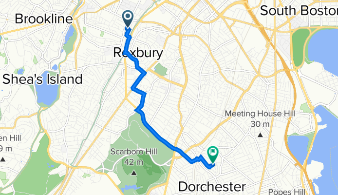
2025.09.02 to home
Itinéraire à vélo à Brookline, Massachusetts, États Unis
- 12,1 km
- Distance
- 146 m
- Montée
- 112 m
- Descente
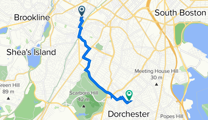
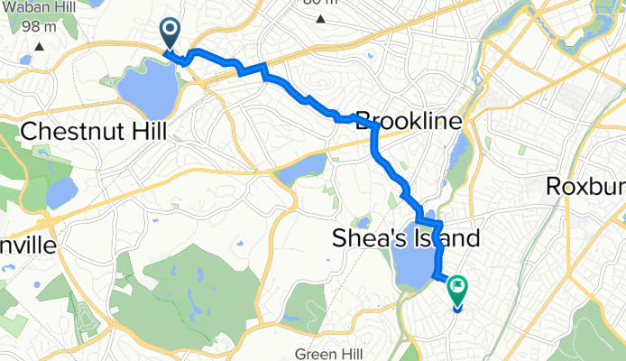
Parker Street 695, Boston to Amory Avenue 3, Boston
Itinéraire à vélo à Brookline, Massachusetts, États Unis
- 1,4 km
- Distance
- 0 m
- Montée
- 0 m
- Descente

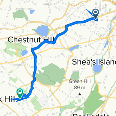
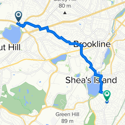
Emerald Necklace Trail, Brookline to 176 Thornton Rd, Chestnut Hill
Itinéraire à vélo à Brookline, Massachusetts, États Unis
- 7,8 km
- Distance
- 86 m
- Montée
- 35 m
- Descente
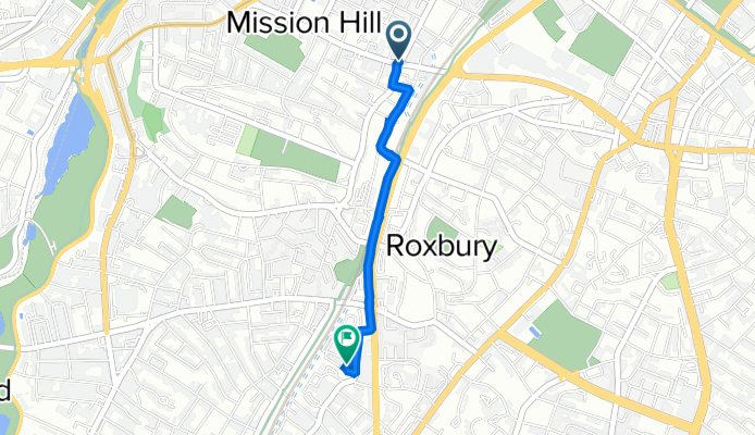
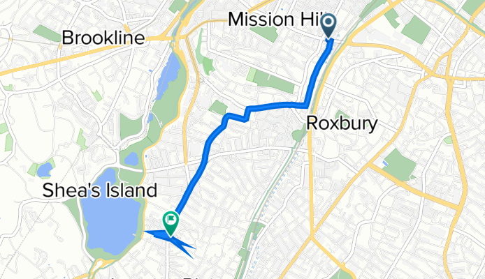
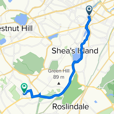
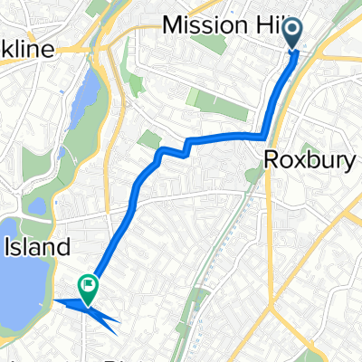
Tremont Street 1451, Boston to Bullard Street 39, Boston
Itinéraire à vélo à Brookline, Massachusetts, États Unis
- 5,3 km
- Distance
- 57 m
- Montée
- 25 m
- Descente
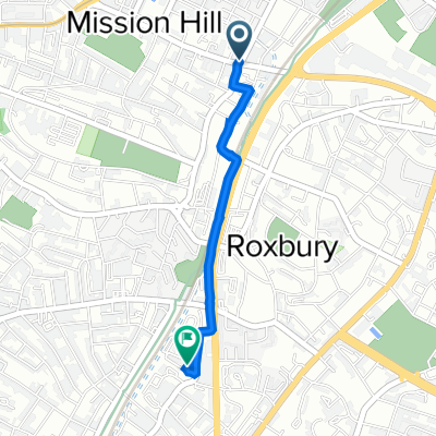
Tremont Street 1451, Boston to Amory Avenue 3, Boston
Itinéraire à vélo à Brookline, Massachusetts, États Unis
- 1,6 km
- Distance
- 6 m
- Montée
- 7 m
- Descente
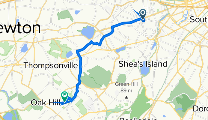
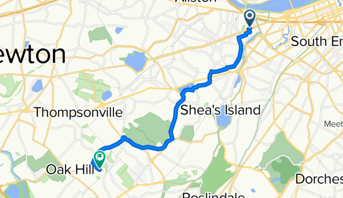
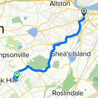
242 Harvard St, Brookline to 90 Wayne Rd, Newton
Itinéraire à vélo à Brookline, Massachusetts, États Unis
- 8,6 km
- Distance
- 93 m
- Montée
- 70 m
- Descente
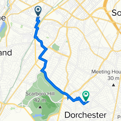
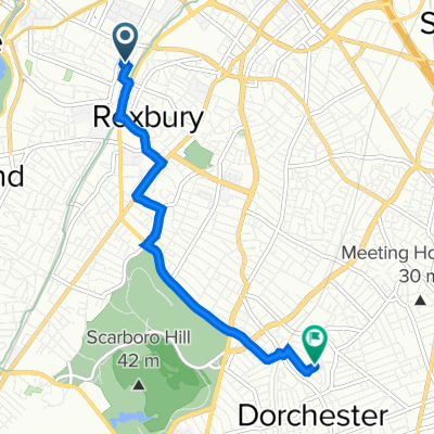
Alleghany Street 7, Boston to Bullard Street 39, Boston
Itinéraire à vélo à Brookline, Massachusetts, États Unis
- 5 km
- Distance
- 51 m
- Montée
- 18 m
- Descente
Commonwealth Avenue 1927, Boston to Centre Street 678, Boston
Itinéraire à vélo à Brookline, Massachusetts, États Unis
- 5,8 km
- Distance
- 23 m
- Montée
- 50 m
- Descente
1433 Tremont St, Boston to 576 Centre St, Boston
Itinéraire à vélo à Brookline, Massachusetts, États Unis
- 4,3 km
- Distance
- 39 m
- Montée
- 27 m
- Descente
1044 Beacon St, Brookline to 90 Wayne Rd, Newton
Itinéraire à vélo à Brookline, Massachusetts, États Unis
- 9,9 km
- Distance
- 141 m
- Montée
- 105 m
- Descente
Découvrez plus d'itinéraires
 Emerald Necklace Trail, Brookline to 176 Thornton Rd, Chestnut Hill
- Distance
- 7,8 km
- Montée
- 86 m
- Descente
- 35 m
- Emplacement
- Brookline, Massachusetts, États Unis
 Tremont Street 1451, Boston to Bullard Street 39, Boston
- Distance
- 5,3 km
- Montée
- 57 m
- Descente
- 25 m
- Emplacement
- Brookline, Massachusetts, États Unis
 Tremont Street 1451, Boston to Amory Avenue 3, Boston
- Distance
- 1,6 km
- Montée
- 6 m
- Descente
- 7 m
- Emplacement
- Brookline, Massachusetts, États Unis
 242 Harvard St, Brookline to 90 Wayne Rd, Newton
- Distance
- 8,6 km
- Montée
- 93 m
- Descente
- 70 m
- Emplacement
- Brookline, Massachusetts, États Unis
 Alleghany Street 7, Boston to Bullard Street 39, Boston
- Distance
- 5 km
- Montée
- 51 m
- Descente
- 18 m
- Emplacement
- Brookline, Massachusetts, États Unis
 Commonwealth Avenue 1927, Boston to Centre Street 678, Boston
- Distance
- 5,8 km
- Montée
- 23 m
- Descente
- 50 m
- Emplacement
- Brookline, Massachusetts, États Unis
 1433 Tremont St, Boston to 576 Centre St, Boston
- Distance
- 4,3 km
- Montée
- 39 m
- Descente
- 27 m
- Emplacement
- Brookline, Massachusetts, États Unis
 1044 Beacon St, Brookline to 90 Wayne Rd, Newton
- Distance
- 9,9 km
- Montée
- 141 m
- Descente
- 105 m
- Emplacement
- Brookline, Massachusetts, États Unis
Itinéraires depuis Brookline
Sortie rapide à vélo de
Brookline à Boston
Sortie rapide à vélo de
Brookline à South Boston
Itinéraires vers Jamaica Plain
Sortie rapide à vélo de
Boston à Jamaica Plain