

Qualicum Beach Circle Route
Un itinéraire vélo au départ de Parksville, Colombie-Britannique, Canada.
Vue d'ensemble
À propos du circuit
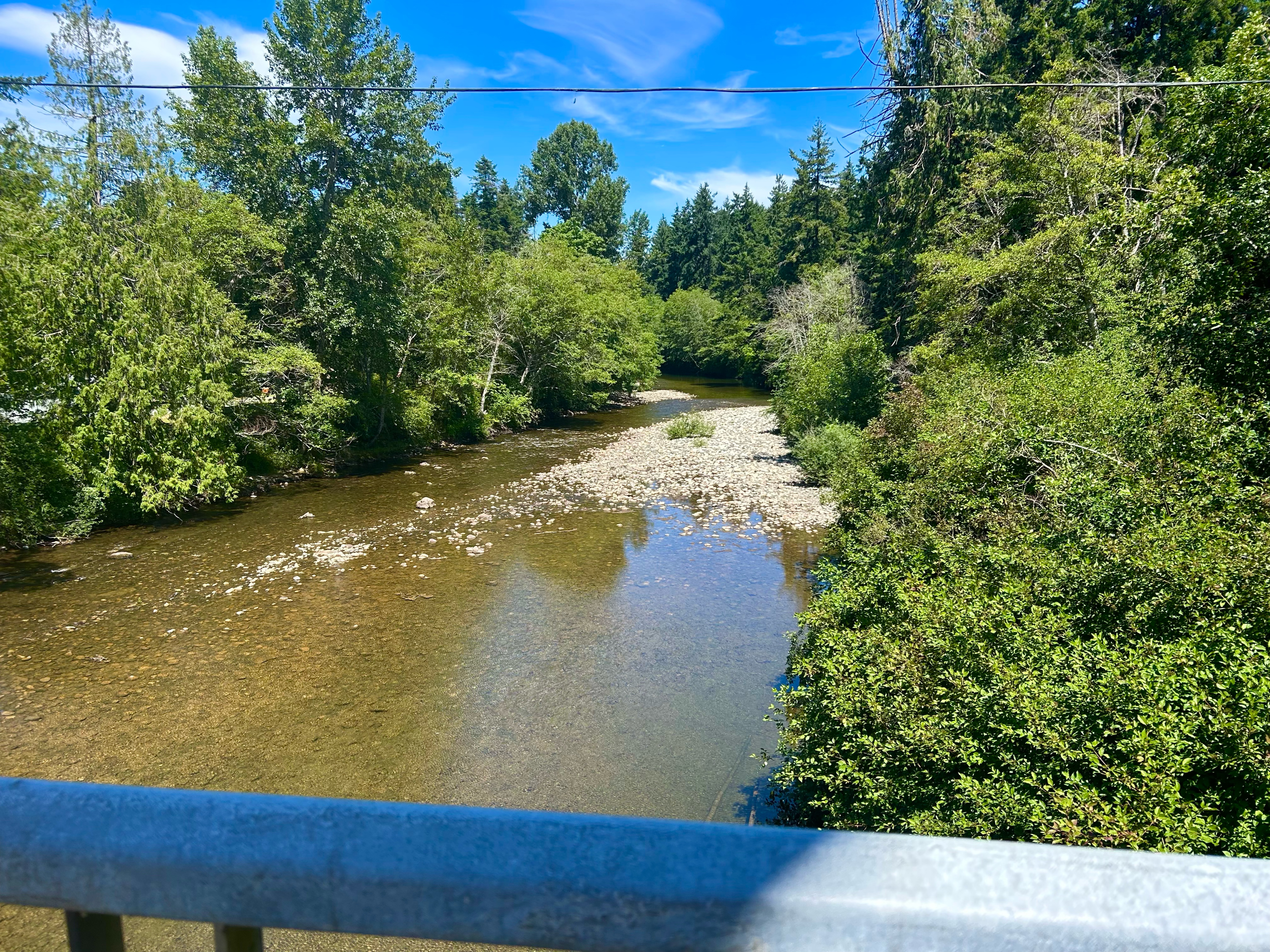
This is my favourite ride to take around Qualicum Beach. It shows you a bit of all of the beauty of the area.
Starting off in tow on 1st Avenue, you head down to Arbutus st, and take a left onto Hoy Lake Rd, just after the train tracks. You follow Hoy Lake onto Canyon Crescent rd, and then swing a hard right onto Garrett rd. At the bottom of a very steep hill, you hang a left on the highway until you get to Laburnum rd.
The ride up Laburnum is one of the most serene but gruelling rides in the area. There's both the roadway and a separate walking/riding path, depending on your comfort with road riding. Laburnum road eventually turns onto Rupert rd, with a very interesting riding trail at the corner of the turn on Laburnum.
Rupert takes you along until Jones st, bringing you right back to where you started.
- -:--
- Durée
- 8,6 km
- Distance
- 125 m
- Montée
- 125 m
- Descente
- ---
- Vit. moyenne
- ---
- Altitude max.

Qualité de l’itinéraire
Types de voies et surfaces le long de l’itinéraire
Types de routes
Route tranquille
4,1 km
(48 %)
Piste cyclable
0,7 km
(8 %)
surfaces
Pavé
1 km
(12 %)
Asphalte
1 km
(12 %)
Indéfini
7,6 km
(88 %)
Continuer avec Bikemap
Utilise, modifie ou télécharge cet itinéraire vélo
Tu veux parcourir Qualicum Beach Circle Route ou l’adapter à ton propre voyage ? Voici ce que tu peux faire avec cet itinéraire Bikemap :
Fonctionnalités gratuites
- Enregistre cet itinéraire comme favori ou dans une collection
- Copie et planifie ta propre version de cet itinéraire
- Synchronise ton itinéraire avec Garmin ou Wahoo
Fonctionnalités Premium
Essai gratuit de 3 jours, ou paiement unique. En savoir plus sur Bikemap Premium.
- Navigue sur cet itinéraire sur iOS et Android
- Exporter un fichier GPX / KML de cet itinéraire
- Crée ton impression personnalisée (essaie-la gratuitement)
- Télécharge cet itinéraire pour la navigation hors ligne
Découvre plus de fonctionnalités Premium.
Obtiens Bikemap PremiumDe notre communauté
Parksville : Autres itinéraires populaires qui commencent ici
 Parksville to Nanoose Bay
- Distance
- 45,9 km
- Montée
- 375 m
- Descente
- 373 m
- Emplacement
- Parksville, Colombie-Britannique, Canada
 Johnstone.Errington.Morningstar.FC
- Distance
- 35 km
- Montée
- 264 m
- Descente
- 262 m
- Emplacement
- Parksville, Colombie-Britannique, Canada
 Corfield Street South 222, Parksville to Corfield Street South 222, Parksville
- Distance
- 4,9 km
- Montée
- 17 m
- Descente
- 0 m
- Emplacement
- Parksville, Colombie-Britannique, Canada
 Nanaimo to Qualicum Beach
- Distance
- 52,1 km
- Montée
- 336 m
- Descente
- 372 m
- Emplacement
- Parksville, Colombie-Britannique, Canada
 Creekside Pacific – Coombs Market – Qualicum Beach – Parksville
- Distance
- 43,7 km
- Montée
- 268 m
- Descente
- 268 m
- Emplacement
- Parksville, Colombie-Britannique, Canada
 May 24, 2019
- Distance
- 19 km
- Montée
- 114 m
- Descente
- 138 m
- Emplacement
- Parksville, Colombie-Britannique, Canada
 Parksville to Rathtrevor Beach Trail to Parksville
- Distance
- 16,4 km
- Montée
- 35 m
- Descente
- 36 m
- Emplacement
- Parksville, Colombie-Britannique, Canada
 Top bridge / Allsbrook rd
- Distance
- 4,3 km
- Montée
- 57 m
- Descente
- 50 m
- Emplacement
- Parksville, Colombie-Britannique, Canada
Ouvre-la dans l’app