
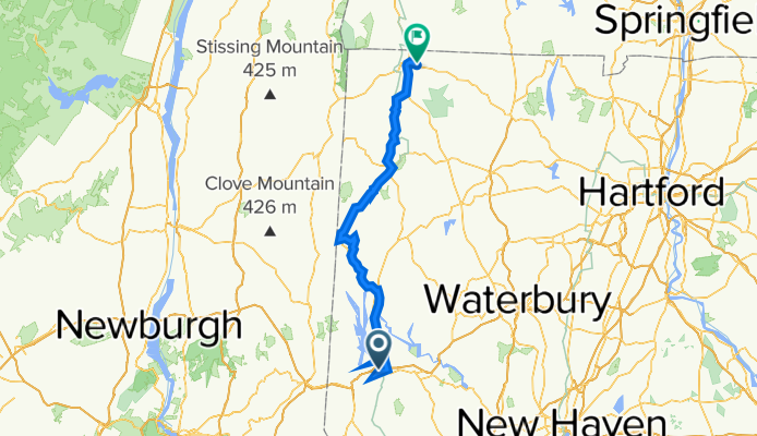
Danbury CT to Canaan CT
Un itinéraire vélo au départ de Danbury, Connecticut, United States of America.
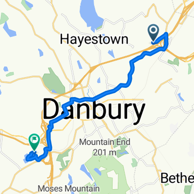
Vue d'ensemble
À propos du circuit
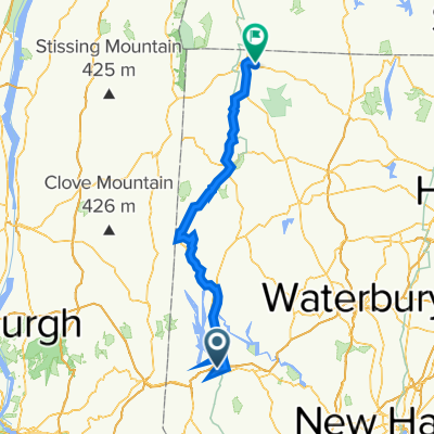
We followed the Western New England Greenway north from Danbury CT to Bulls Bridge. Along the way, in following the trail, we turned onto River Road, which was unpaved, though fortunately pretty hardpacked. This was important due to the heavy rain that had fallen yesterday and all night.
After the long climb to Bulls Bridge, I somehow misread the map and turned us onto US Highway 7, which runs along the east side of Housatonic River. The Western New England Greenway route followed the west side up to Kent, where it returned to the east side and followed US Highway 7 for most of the rest of the way to North Canaan. This was probably a blessing in disguise since I’m guessing that the west side route might well be more unpaved road. In addition, with our taking the much faster US Highway 7 from Bulls Bridge to Kent (and beyond), we probably saved an hour or so of time. As it was, we didn’t arrive at our B&B until about 7:10, which wouldn’t be too much before sunset.
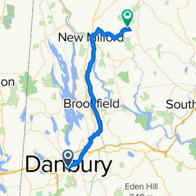
Going through New Milford, we found a really charming village that should be a good place to stay and wander around.
- 8 h 22 min
- Durée
- 93,4 km
- Distance
- 1 269 m
- Montée
- 1 139 m
- Descente
- 11,2 km/h
- Vit. moyenne
- 223 m
- Altitude max.

Qualité de l’itinéraire
Types de voies et surfaces le long de l’itinéraire
Types de routes
Route fréquentée
61,7 km
(66 %)
Route tranquille
20,3 km
(22 %)
surfaces
Pavé
22,9 km
(24 %)
Non pavé
5,6 km
(6 %)
Asphalte
18,4 km
(20 %)
Gravier
5,3 km
(6 %)
Continuer avec Bikemap
Utilise, modifie ou télécharge cet itinéraire vélo
Tu veux parcourir Danbury CT to Canaan CT ou l’adapter à ton propre voyage ? Voici ce que tu peux faire avec cet itinéraire Bikemap :
Fonctionnalités gratuites
- Enregistre cet itinéraire comme favori ou dans une collection
- Copie et planifie ta propre version de cet itinéraire
- Divise-le en étapes pour créer un tour sur plusieurs jours
- Synchronise ton itinéraire avec Garmin ou Wahoo
Fonctionnalités Premium
Essai gratuit de 3 jours, ou paiement unique. En savoir plus sur Bikemap Premium.
- Navigue sur cet itinéraire sur iOS et Android
- Exporter un fichier GPX / KML de cet itinéraire
- Crée ton impression personnalisée (essaie-la gratuitement)
- Télécharge cet itinéraire pour la navigation hors ligne
Découvre plus de fonctionnalités Premium.
Obtiens Bikemap PremiumDe notre communauté
Danbury : Autres itinéraires populaires qui commencent ici
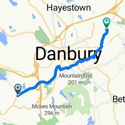
 Danbury to Roxbury
- Distance
- 33,2 km
- Montée
- 371 m
- Descente
- 388 m
- Emplacement
- Danbury, Connecticut, United States of America
 Danbury CT to Canaan CT
- Distance
- 93,4 km
- Montée
- 1 269 m
- Descente
- 1 139 m
- Emplacement
- Danbury, Connecticut, United States of America
 Merit Badge 10 Mile 1
- Distance
- 4 km
- Montée
- 73 m
- Descente
- 111 m
- Emplacement
- Danbury, Connecticut, United States of America
 Moderate route in Danbury
- Distance
- 3,5 km
- Montée
- 47 m
- Descente
- 35 m
- Emplacement
- Danbury, Connecticut, United States of America
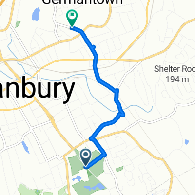
 Anchor St, Danbury to 51 Walnut Hill Rd, Bethel
- Distance
- 15,1 km
- Montée
- 473 m
- Descente
- 471 m
- Emplacement
- Danbury, Connecticut, United States of America
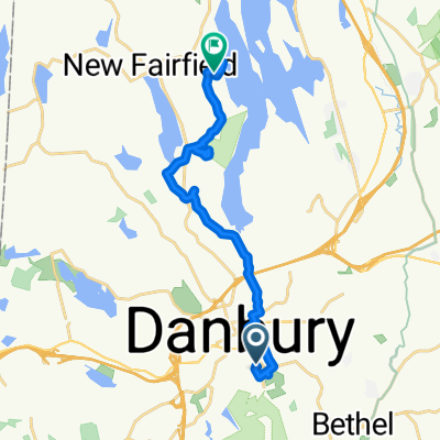 45 Grand St, Danbury to 55 Wood Creek Rd, New Fairfield
- Distance
- 16,7 km
- Montée
- 371 m
- Descente
- 349 m
- Emplacement
- Danbury, Connecticut, United States of America
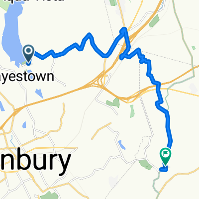
 31–33 Backus Ave, Danbury to 60 Beaver Brook Rd, Danbury
- Distance
- 8 km
- Montée
- 84 m
- Descente
- 127 m
- Emplacement
- Danbury, Connecticut, United States of America
 Sporty route in Danbury
- Distance
- 10,7 km
- Montée
- 144 m
- Descente
- 106 m
- Emplacement
- Danbury, Connecticut, United States of America
Ouvre-la dans l’app